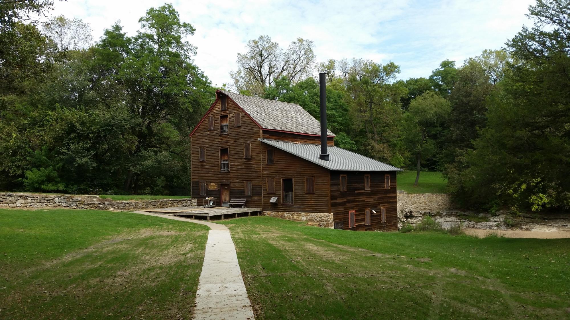
Blue Grass, IA
Advertisement
Blue Grass, IA Map
Blue Grass is a US city in Scott County in the state of Iowa. Located at the longitude and latitude of -90.765000, 41.511944 and situated at an elevation of 241 meters. In the 2020 United States Census, Blue Grass, IA had a population of 1,666 people. Blue Grass is in the Central Standard Time timezone at Coordinated Universal Time (UTC) -6. Find directions to Blue Grass, IA, browse local businesses, landmarks, get current traffic estimates, road conditions, and more.
Blue Grass, Iowa, is a small city that offers a glimpse into the charm of the American Midwest. Known for its community-focused living and serene landscapes, Blue Grass provides a peaceful retreat with its expansive green spaces and local parks. The city is particularly noted for its annual Blue Grass Festival, which celebrates the vibrant music genre that shares its name with the town, drawing visitors from across the region for a weekend filled with lively tunes and local culture.
Visitors to Blue Grass can explore the local history at the Blue Grass Heritage Museum, where exhibits detail the area's agricultural roots and development over the years. The city's quaint downtown area offers a selection of local shops and eateries, providing a taste of local hospitality and cuisine. For those interested in outdoor activities, Blue Grass is surrounded by scenic trails and recreational areas, perfect for hiking, biking, and enjoying the natural beauty of Iowa. The city's commitment to preserving its small-town feel while providing modern amenities makes it a unique destination in the heart of the Midwest.
Nearby cities include: Blue Grass, IA, Montpelier, IA, Buffalo, IA, Walcott, IA, Andalusia, IL, Stockton, IA, Cleona, IA, Davenport, IA, Hickory Grove, IA, Maysville, IA.
Places in Blue Grass
Dine and drink
Eat and drink your way through town.
Can't-miss activities
Culture, natural beauty, and plain old fun.
Places to stay
Hang your (vacation) hat in a place that’s just your style.
Advertisement


