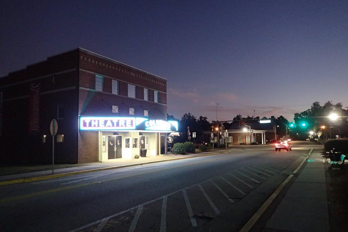
Wrens, GA
Advertisement
Wrens, GA Map
Wrens is a US city in Jefferson County in the state of Georgia. Located at the longitude and latitude of -82.387500, 33.208100 and situated at an elevation of 124 meters. In the 2020 United States Census, Wrens, GA had a population of 2,217 people. Wrens is in the Eastern Standard Time timezone at Coordinated Universal Time (UTC) -5. Find directions to Wrens, GA, browse local businesses, landmarks, get current traffic estimates, road conditions, and more.
Wrens, Georgia, is a small city with a rich history and a welcoming community atmosphere. It is known for its charming Southern hospitality and serves as a gateway to the scenic beauty of Georgia's countryside. The city has historical roots dating back to its establishment in the late 19th century, and it retains a number of historical buildings that reflect its past, offering a glimpse into its development over the years.
Among the notable places in Wrens is the Wrens City Park, a popular spot for locals and visitors alike, providing a serene environment for picnics and leisurely walks. The city is also home to several local businesses and eateries that offer a taste of Southern cuisine and culture. Wrens hosts community events and festivals that celebrate its heritage and community spirit, making it a charming stop for those exploring Georgia's small towns.
Nearby cities include: Matthews, GA, Stapleton, GA, Avera, GA, Keysville, GA, Gibson, GA, Blythe, GA, Louisville, GA, Dearing, GA, Vidette, GA, Harlem, GA.
Places in Wrens
Dine and drink
Eat and drink your way through town.
Can't-miss activities
Culture, natural beauty, and plain old fun.
Places to stay
Hang your (vacation) hat in a place that’s just your style.
Advertisement


