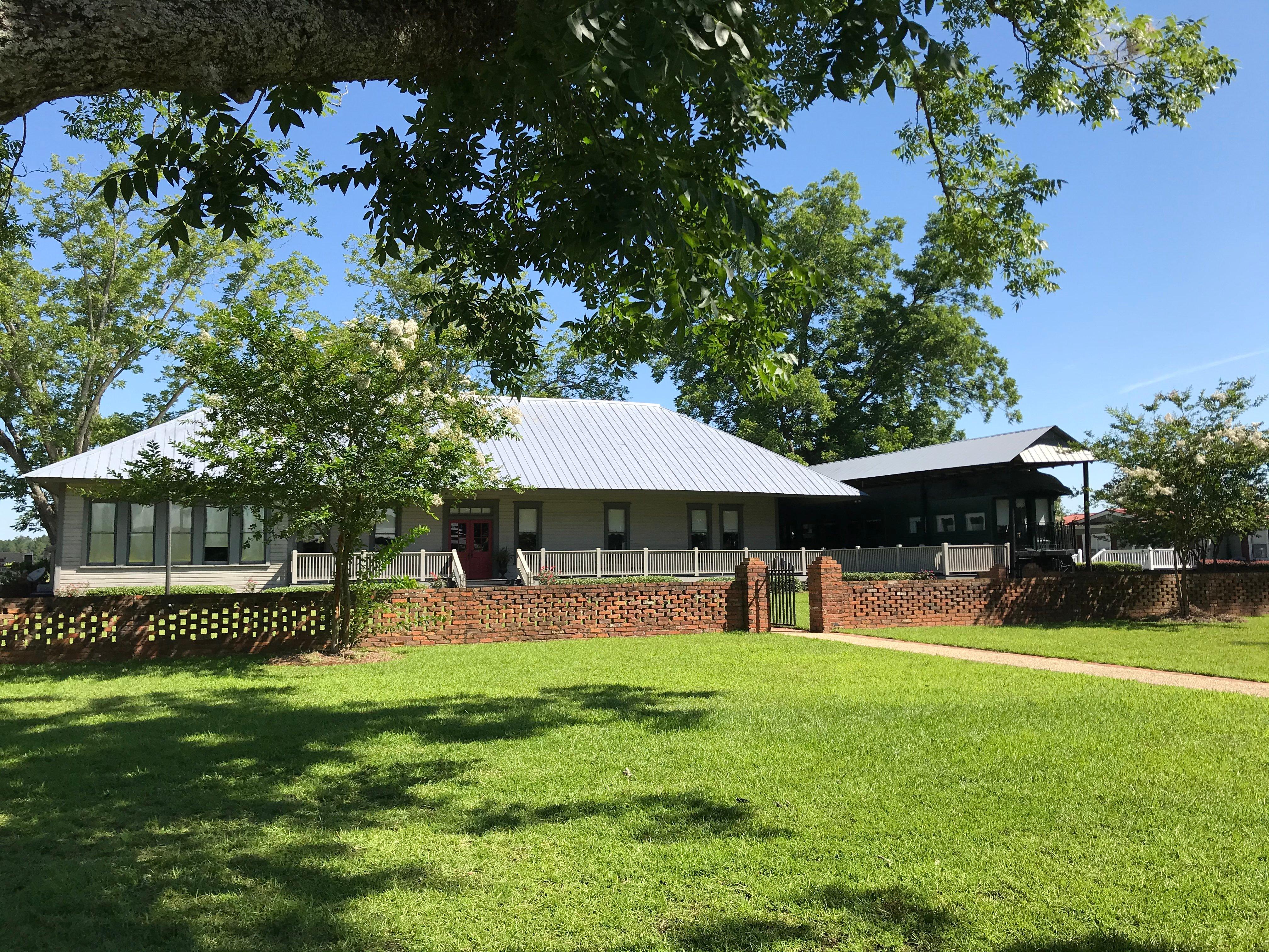
Meigs, GA
Advertisement
Meigs, GA Map
Meigs is a US city in Thomas County in the state of Georgia. Located at the longitude and latitude of -84.090830, 31.072500 and situated at an elevation of 104 meters. In the 2020 United States Census, Meigs, GA had a population of 928 people. Meigs is in the Eastern Standard Time timezone at Coordinated Universal Time (UTC) -5. Find directions to Meigs, GA, browse local businesses, landmarks, get current traffic estimates, road conditions, and more.
Meigs, located in the state of Georgia, is a quaint city that offers a glimpse into the serene life of the American South. Known for its small-town charm, Meigs is rich in history and community spirit. Its origins trace back to the late 19th century, contributing to its historical significance in the region. While Meigs may not be bustling with large attractions, it is home to several local landmarks and points of interest that reflect its heritage and cultural fabric. Visitors can explore the historical sites and enjoy the leisurely pace that defines this city, making it a peaceful retreat for those seeking a break from the hustle and bustle of larger urban centers.
Despite its modest size, Meigs is surrounded by the natural beauty typical of Georgia's landscapes, offering picturesque views and outdoor activities for nature enthusiasts. The city itself may not have a long list of tourist destinations, but its proximity to various natural parks and recreational areas provides ample opportunities for exploration and adventure. This makes Meigs an ideal stop for those looking to experience the authentic Southern lifestyle and the warm hospitality that accompanies it. Whether you're passing through or planning a quiet getaway, Meigs offers a slice of tranquility and a touch of history that is sure to leave a lasting impression.
Nearby cities include: Pelham, GA, Ochlocknee, GA, Camilla, GA, Sale City, GA, Coolidge, GA, Cairo, GA, Funston, GA, Thomasville, GA, Riverside, GA, Whigham, GA.
Places in Meigs
Dine and drink
Eat and drink your way through town.
Can't-miss activities
Culture, natural beauty, and plain old fun.
Places to stay
Hang your (vacation) hat in a place that’s just your style.
Advertisement


