Lovejoy, GA
Advertisement
Lovejoy, GA Map
Lovejoy is a US city in Clayton County in the state of Georgia. Located at the longitude and latitude of -84.315000, 33.444200 and situated at an elevation of 290 meters. In the 2020 United States Census, Lovejoy, GA had a population of 10,122 people. Lovejoy is in the Eastern Standard Time timezone at Coordinated Universal Time (UTC) -5. Find directions to Lovejoy, GA, browse local businesses, landmarks, get current traffic estimates, road conditions, and more.
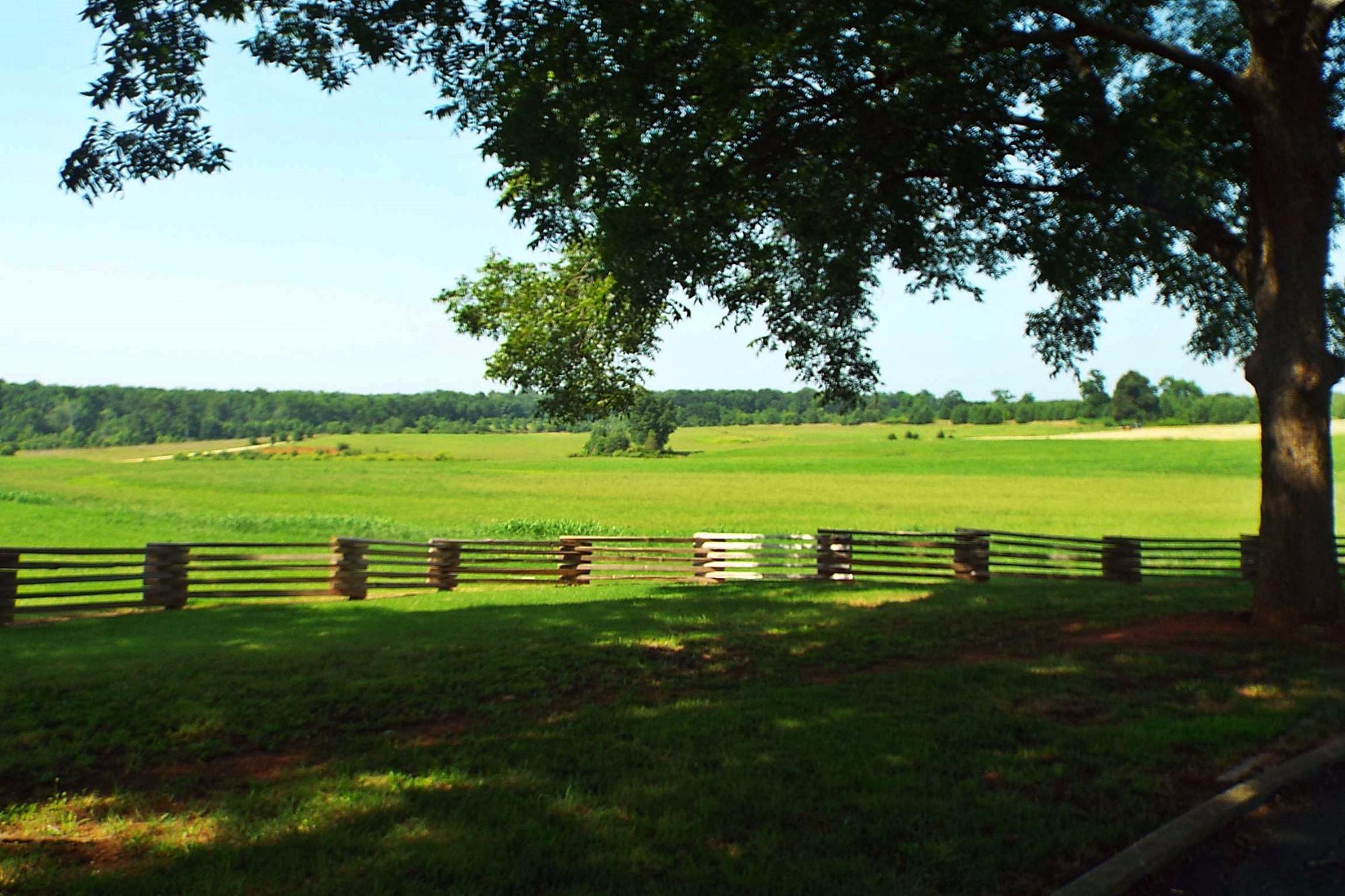
Lovejoy, Georgia is a small city with an understated charm, primarily recognized for its historical significance and community-centered events. It gained historical prominence during the American Civil War, particularly due to the Battle of Lovejoy's Station in 1864, which was part of the Atlanta Campaign. This historical backdrop provides a modest allure for history enthusiasts exploring the region. The city maintains a quiet, suburban atmosphere, making it a peaceful retreat from the bustling pace of larger urban areas.
Among the places of interest in Lovejoy, the Lovejoy Community Center stands out as a focal point for local gatherings and events. The center hosts a variety of activities that cater to residents and visitors alike, fostering a sense of community. Additionally, the city's parks and recreational areas offer a pleasant escape for those looking to enjoy outdoor activities. While Lovejoy may not boast a wide array of tourist attractions, its historical roots and community spirit make it a noteworthy stop for those interested in exploring the quieter, more intimate aspects of Georgian life.
Nearby cities include: Hampton, GA, Jonesboro, GA, Sunny Side, GA, Stockbridge, GA, Woolsey, GA, Fayetteville, GA, Morrow, GA, McDonough, GA, Riverdale, GA, Lake City, GA.
Places in Lovejoy
Dine and drink
Eat and drink your way through town.
Can't-miss activities
Culture, natural beauty, and plain old fun.
Places to stay
Hang your (vacation) hat in a place that’s just your style.
Advertisement


