Alston, GA
Advertisement
Alston, GA Map
Alston is a US city in Montgomery County in the state of Georgia. Located at the longitude and latitude of -82.478330, 32.080280 and situated at an elevation of 70 meters. In the 2020 United States Census, Alston, GA had a population of 178 people. Alston is in the Eastern Standard Time timezone at Coordinated Universal Time (UTC) -5. Find directions to Alston, GA, browse local businesses, landmarks, get current traffic estimates, road conditions, and more.
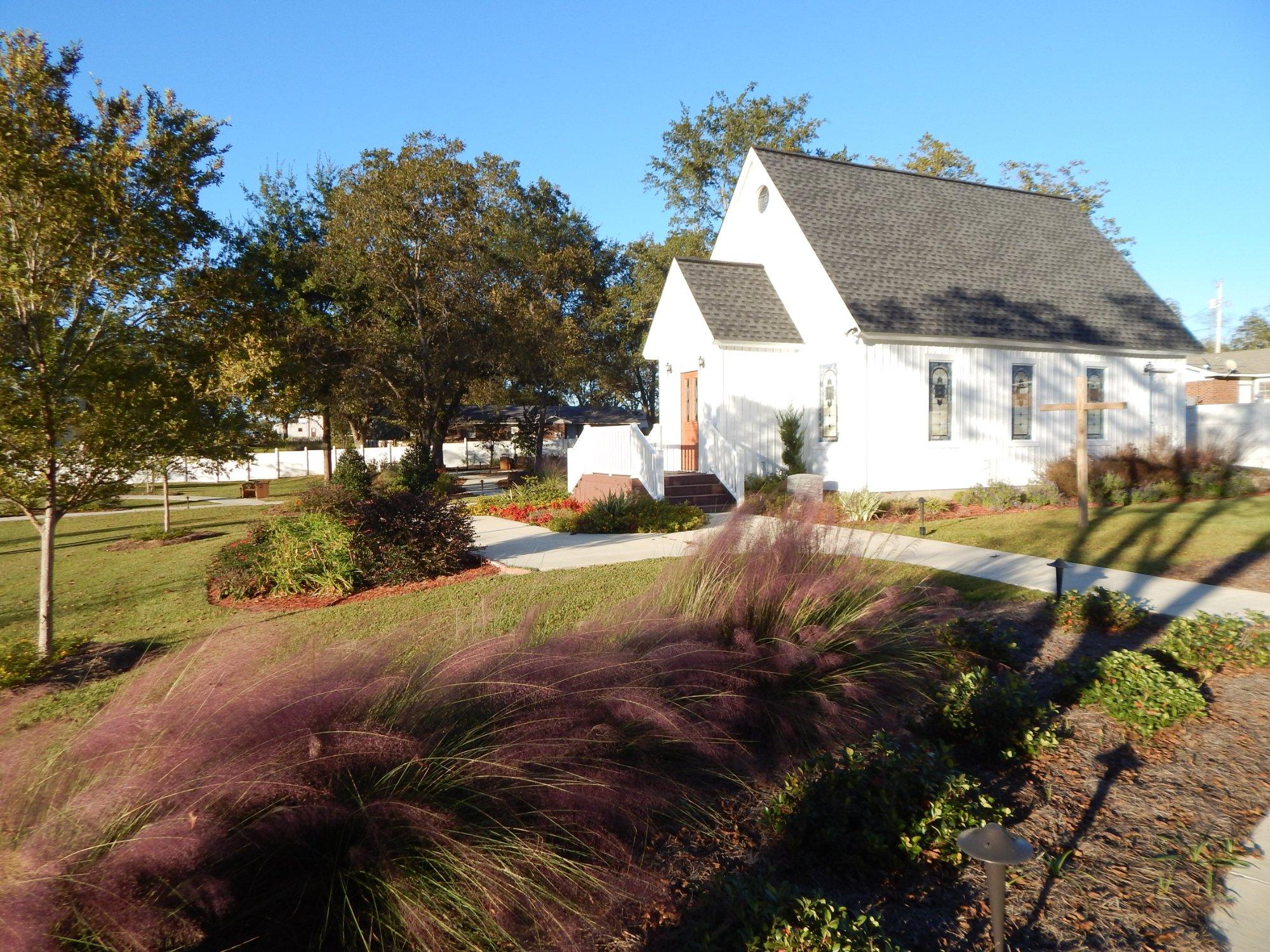
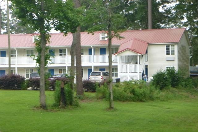
Alston, Georgia, is a small town that embodies the quintessential charm of the American South. Known for its serene landscapes and close-knit community, Alston offers a peaceful retreat from the hustle and bustle of larger cities. The town is characterized by its historic roots and traditional southern hospitality. Visitors often find themselves captivated by the simplicity and tranquility that Alston provides, making it an ideal spot for those seeking a quieter experience.
While Alston may not boast an extensive list of tourist attractions, it is surrounded by picturesque countryside that appeals to nature lovers and outdoor enthusiasts. The town's history is reflected in its well-preserved architecture and the stories of its long-standing residents. While specific landmarks within Alston are minimal, the area serves as a gateway to exploring the broader historical and cultural offerings of the region. Visitors can enjoy leisurely drives through the scenic surroundings and immerse themselves in the authentic southern lifestyle that Alston represents.
Nearby cities include: Uvalda, GA, Ailey, GA, Higgston, GA, Mount Vernon, GA, Mount Vernon, GA, Vidalia, GA, Santa Claus, GA, Lyons, GA, Glenwood, GA, Lumber City, GA.
Places in Alston
Dine and drink
Eat and drink your way through town.
Can't-miss activities
Culture, natural beauty, and plain old fun.
Places to stay
Hang your (vacation) hat in a place that’s just your style.
Advertisement


