


Oglethorpe, GA
Advertisement
Fort Oglethorpe, GA Map
Fort Oglethorpe is a US city in Macon County in the state of Georgia. Located at the longitude and latitude of -85.245600, 34.945600 and situated at an elevation of 223 meters. In the 2020 United States Census, Fort Oglethorpe, GA had a population of 10,423 people. Fort Oglethorpe is in the Eastern Standard Time timezone at Coordinated Universal Time (UTC) -5. Find directions to Fort Oglethorpe, GA, browse local businesses, landmarks, get current traffic estimates, road conditions, and more.
Fort Oglethorpe, located in the state of Georgia, is a city rich in history and known primarily for its connection to military heritage. Established in 1902 as a U.S. Army post, it served as a training ground during both World Wars before transitioning to civilian use in the mid-20th century. The city is most renowned for the Chickamauga and Chattanooga National Military Park, which preserves the sites of two major battles of the American Civil War. Visitors can explore the expansive park, which offers an array of hiking trails, historical markers, and a visitor center providing in-depth insights into the area's past.
Beyond its historical significance, Fort Oglethorpe offers several attractions that appeal to both history buffs and nature enthusiasts. The Sixth Cavalry Museum stands as a testament to the city's military past, showcasing artifacts and exhibits from the era when Fort Oglethorpe was an active cavalry post. For a taste of local culture, the Barnhardt Circle Historic District offers a glimpse into early 20th-century military housing. Additionally, the city's proximity to the scenic beauty of the Appalachian foothills makes it a gateway for outdoor activities such as hiking and picnicking, providing a well-rounded experience for any visitor.
Nearby cities include: Rossville, GA, East Ridge, TN, Chickamauga, GA, Ridgeside, TN, Lookout Mountain, GA, Lookout Mountain, TN, Chattanooga, TN, Ringgold, GA, East Chattanooga, TN, Wildwood, GA.
Places in Oglethorpe
Dine and drink
Eat and drink your way through town.


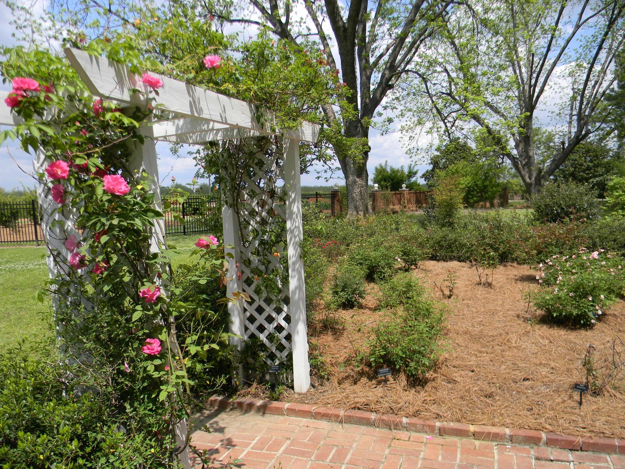
Can't-miss activities
Culture, natural beauty, and plain old fun.

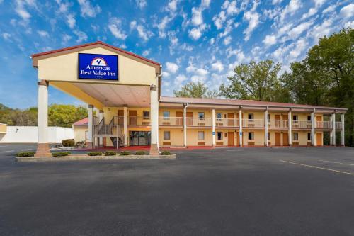
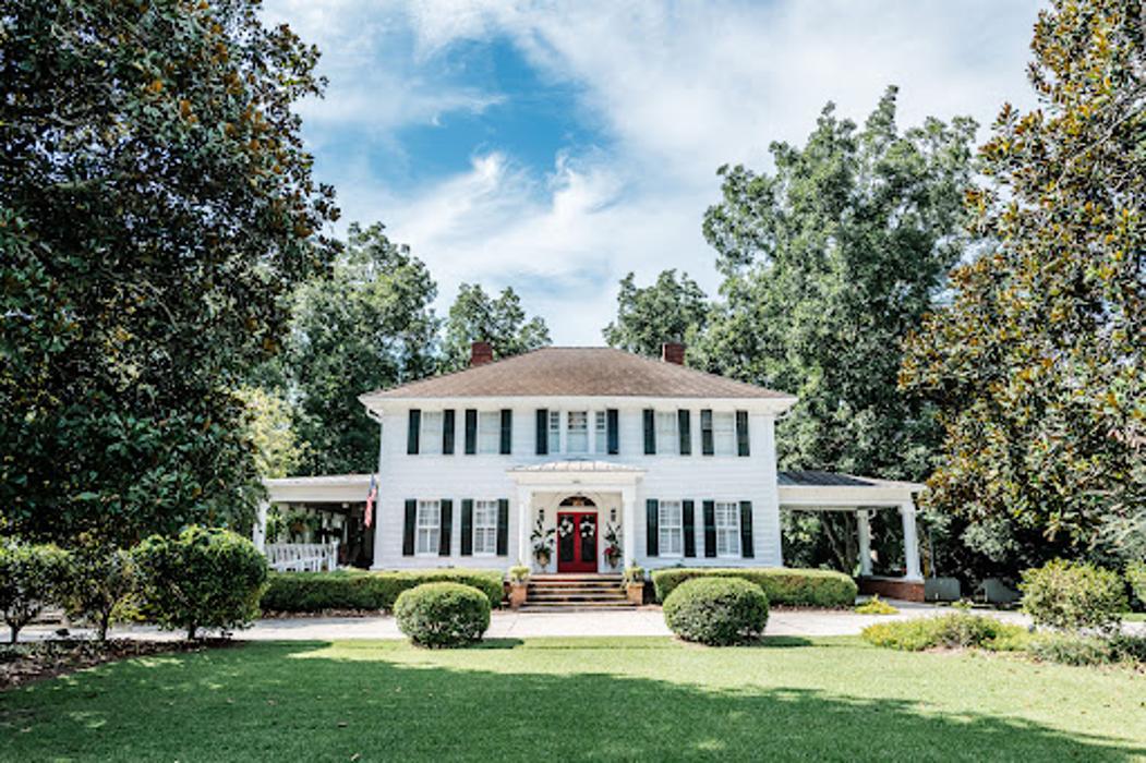
Places to stay
Hang your (vacation) hat in a place that’s just your style.

Advertisement