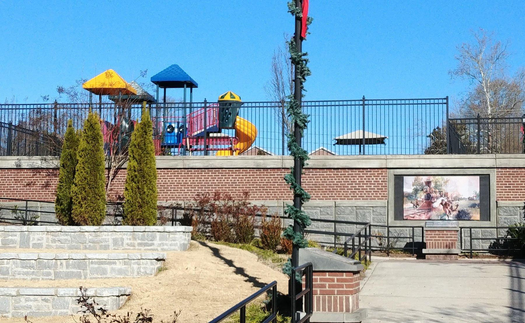
Kennesaw, GA
Advertisement
Kennesaw, GA Map
Kennesaw is a US city in Cobb County in the state of Georgia. Located at the longitude and latitude of -84.615278, 34.023333 and situated at an elevation of 332 meters. In the 2020 United States Census, Kennesaw, GA had a population of 33,036 people. Kennesaw is in the Eastern Standard Time timezone at Coordinated Universal Time (UTC) -5. Find directions to Kennesaw, GA, browse local businesses, landmarks, get current traffic estimates, road conditions, and more.
Kennesaw, located in the state of Georgia, is a city rich in historical significance and Southern charm. It is perhaps best known for its pivotal role in the Civil War, as the site of the Battle of Kennesaw Mountain. Today, the Kennesaw Mountain National Battlefield Park serves as a major attraction, offering visitors a chance to explore the well-preserved battlegrounds and hike its scenic trails. The park provides a glimpse into the past with its informative museum and regular reenactments that capture the area's historical importance.
In addition to its historical allure, Kennesaw is home to several popular destinations that cater to both residents and visitors. The Southern Museum of Civil War and Locomotive History offers a fascinating look at the region's past, featuring exhibits like the famous "General" locomotive from the Great Locomotive Chase. For those seeking leisure and shopping, Town Center at Cobb is a bustling hub with a variety of retail and dining options. The city's vibrant community life is further enriched by events such as the Big Shanty Festival, which celebrates local culture with crafts, food, and entertainment. Kennesaw's blend of history, culture, and modern amenities makes it a noteworthy destination in Georgia.
Nearby cities include: Acworth, GA, Marietta, GA, Woodstock, GA, Emerson, GA, Powder Springs, GA, Smyrna, GA, Holly Springs, GA, Hiram, GA, Mableton, GA, Austell, GA.
Places in Kennesaw
Dine and drink
Eat and drink your way through town.
Can't-miss activities
Culture, natural beauty, and plain old fun.
Places to stay
Hang your (vacation) hat in a place that’s just your style.
Advertisement


