Jefferson, GA
Advertisement
Jefferson, GA Map
Jefferson is a US city in Jackson County in the state of Georgia. Located at the longitude and latitude of -83.590300, 34.126700 and situated at an elevation of 229 meters. In the 2020 United States Census, Jefferson, GA had a population of 13,233 people. Jefferson is in the Eastern Standard Time timezone at Coordinated Universal Time (UTC) -5. Find directions to Jefferson, GA, browse local businesses, landmarks, get current traffic estimates, road conditions, and more.
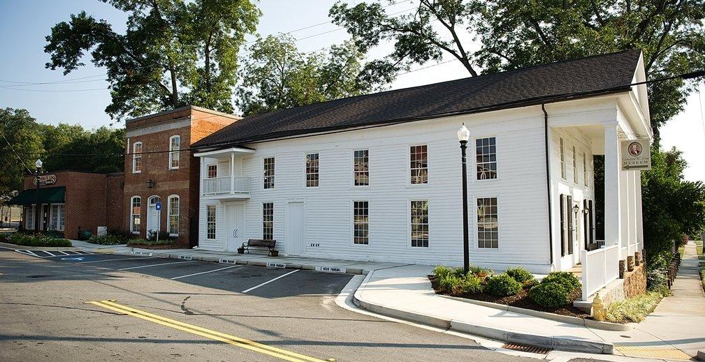
Jefferson, located in the heart of Georgia, is a city steeped in history and Southern charm. Known for its well-preserved antebellum architecture, Jefferson transports visitors back in time with its historic districts and landmarks. The Crawford W. Long Museum is a notable attraction, commemorating the pioneering physician who performed the first surgical operation using ether anesthesia. This small yet significant museum offers insight into the medical advances of the 19th century and is a must-visit for history enthusiasts.
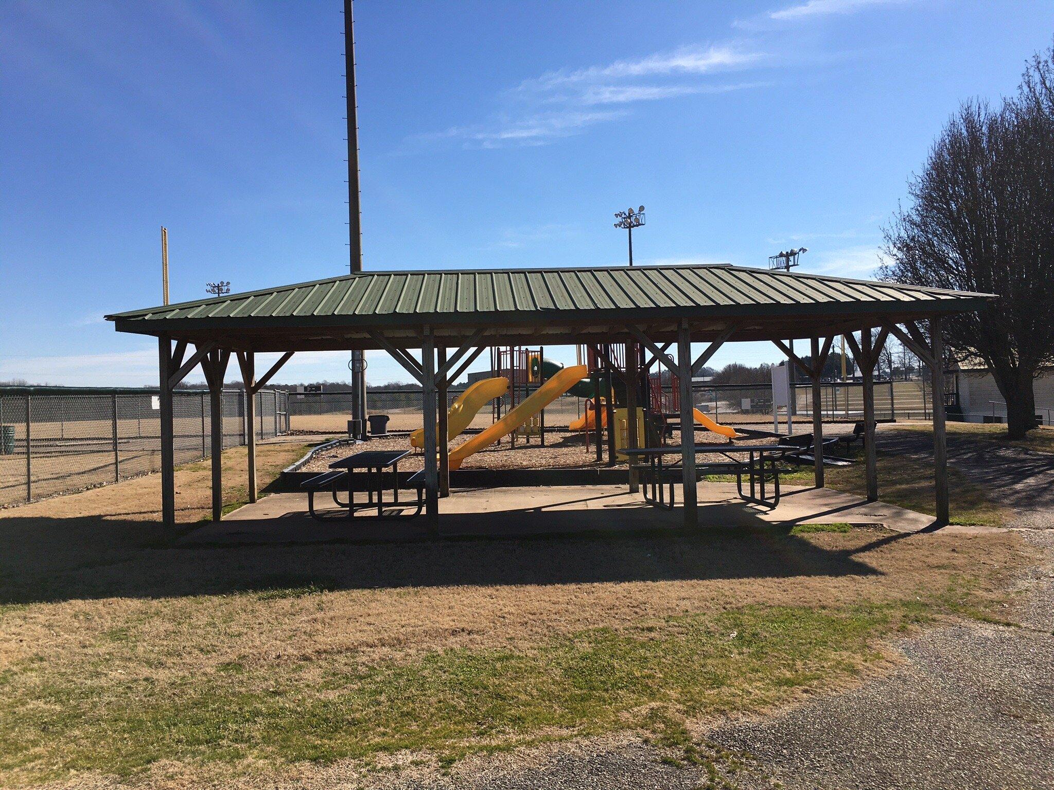
In addition to its historical significance, Jefferson boasts a quaint downtown area, perfect for leisurely strolls and local shopping. The city is also home to several parks and outdoor spaces, such as Curry Creek Park, which offers trails and picnic areas for families and nature lovers. Jefferson's community spirit is often showcased through various events and festivals held throughout the year, making it a vibrant place to experience the essence of small-town Georgia life.
Nearby cities include: Arcade, GA, Pendergrass, GA, Talmo, GA, Maysville, GA, Commerce, GA, Nicholson, GA, Braselton, GA, Hoschton, GA, Statham, GA, Winder, GA.
Places in Jefferson
Dine and drink
Eat and drink your way through town.
Can't-miss activities
Culture, natural beauty, and plain old fun.
Places to stay
Hang your (vacation) hat in a place that’s just your style.
Advertisement


