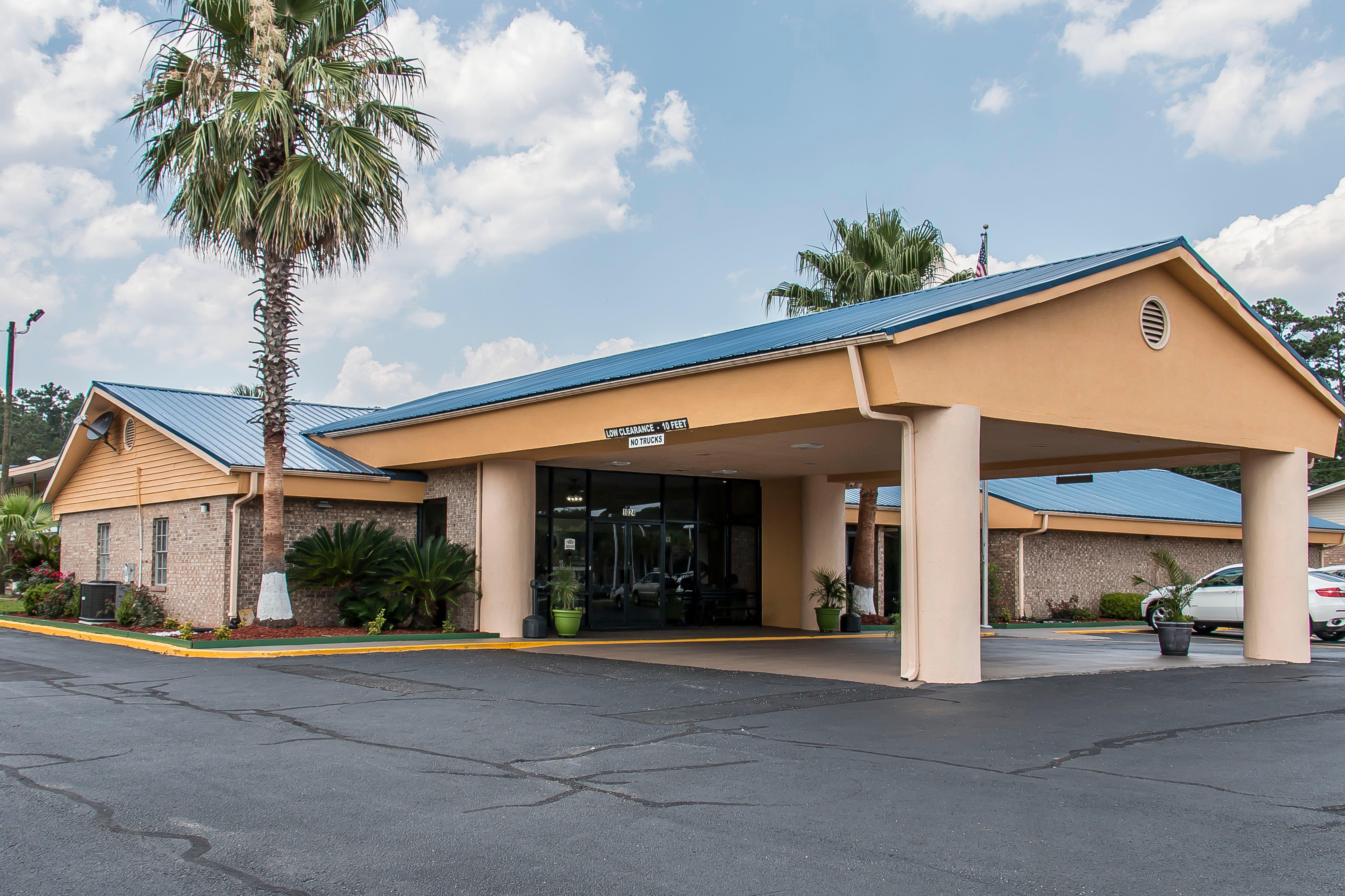
Hinesville, GA
Advertisement
Hinesville, GA Map
Hinesville is a US city in Liberty County in the state of Georgia. Located at the longitude and latitude of -81.611700, 31.832500 and situated at an elevation of 23 meters. In the 2020 United States Census, Hinesville, GA had a population of 34,891 people. Hinesville is in the Eastern Standard Time timezone at Coordinated Universal Time (UTC) -5. Find directions to Hinesville, GA, browse local businesses, landmarks, get current traffic estimates, road conditions, and more.
Hinesville, located in the southeastern part of Georgia, is a city that combines a rich historical backdrop with contemporary Southern charm. Known primarily for its close proximity to Fort Stewart, a major U.S. Army installation, Hinesville has a strong military presence and history that plays a significant role in the local community. The city’s heritage is reflected in places like the Old Liberty County Jail, a historic site that offers insight into its past, and the ITPA National Telephone Museum, which showcases the evolution of telecommunications. Visitors can also enjoy the natural beauty surrounding Hinesville, with spots like Bryant Commons Park providing a serene escape with its walking trails and picturesque pond.
Hinesville is not just about history and nature; it also offers a range of activities and attractions for visitors and residents alike. The Farmers Market is a popular local spot, offering fresh produce and handmade goods, and it reflects the city's commitment to community and sustainability. For those interested in outdoor activities, the nearby Cay Creek Wetlands offers a boardwalk trail that allows for bird watching and exploration of local flora and fauna. The city’s blend of historical significance and modern amenities makes it an intriguing destination for those looking to explore a unique part of Georgia.
Nearby cities include: Fort Stewart, GA, Flemington, GA, Allenhurst, GA, Walthourville, GA, Gumbranch, GA, Ludowici, GA, Midway, GA, Riceboro, GA, Richmond Hill, GA, Glennville, GA.
Places in Hinesville
Dine and drink
Eat and drink your way through town.
Can't-miss activities
Culture, natural beauty, and plain old fun.
Places to stay
Hang your (vacation) hat in a place that’s just your style.
Advertisement


