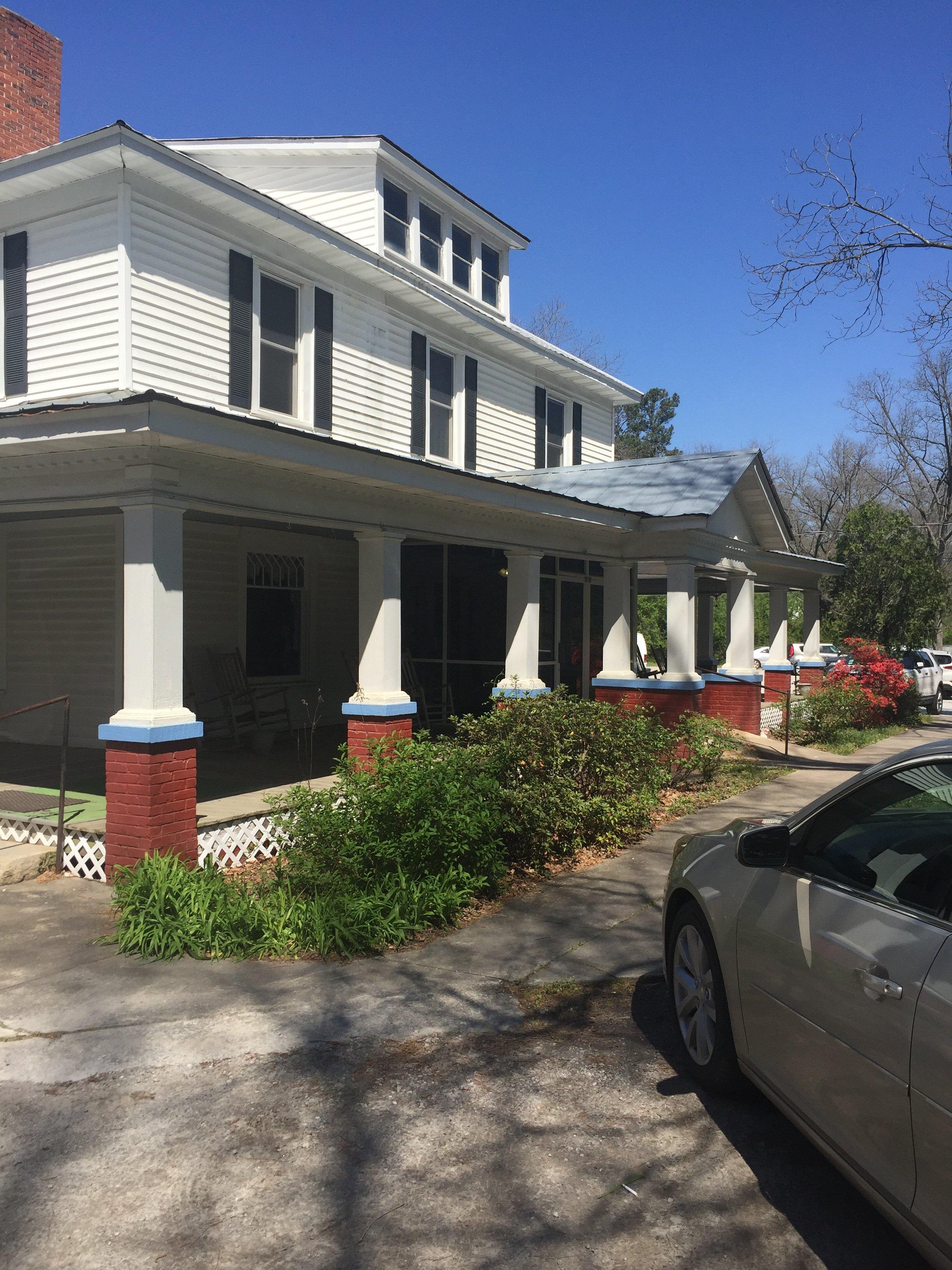
Dewy Rose, GA
Advertisement
Dewy Rose, GA Map
Dewy Rose is a US city in Elbert County in the state of Georgia. Located at the longitude and latitude of -82.953100, 34.169700 and situated at an elevation of 732 meters. In the 2020 United States Census, Dewy Rose, GA had a population of 161 people. Dewy Rose is in the Eastern Standard Time timezone at Coordinated Universal Time (UTC) -5. Find directions to Dewy Rose, GA, browse local businesses, landmarks, get current traffic estimates, road conditions, and more.
Dewy Rose, Georgia, is a small, unincorporated community that offers a quaint and peaceful atmosphere typical of rural Georgia. While it may not be widely known for bustling attractions or historical landmarks, Dewy Rose is appreciated for its serene landscapes and the simplicity of Southern living. The area is primarily agricultural, providing a glimpse into the traditional farming lifestyle that has characterized much of Georgia's history. Its charm lies in the surrounding natural beauty and the hospitality of its residents, making it a peaceful stop for those exploring the countryside.
One notable feature of Dewy Rose is the Dewy Rose Baptist Church, which serves as a community hub and reflects the strong sense of community and faith that is prevalent in the area. For those interested in outdoor activities, the nearby lakes and parks offer opportunities for fishing, hiking, and picnics, allowing visitors to enjoy the natural surroundings. While Dewy Rose may not have the tourist attractions of larger cities, its appeal is in its authenticity and the opportunity to experience a slower pace of life.
Nearby cities include: Bowman, GA, Elberton, GA, Carlton, GA, Royston, GA, Comer, GA, Hartwell, GA, Franklin Springs, GA, Canon, GA, Danielsville, GA, Bowersville, GA.
Places in Dewy Rose
Dine and drink
Eat and drink your way through town.
Can't-miss activities
Culture, natural beauty, and plain old fun.
Places to stay
Hang your (vacation) hat in a place that’s just your style.
Advertisement


