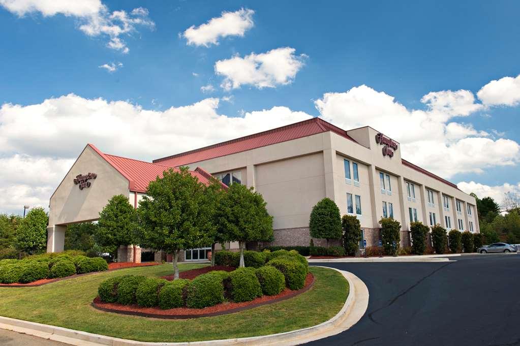
Demorest, GA
Advertisement
Demorest, GA Map
Demorest is a US city in Habersham County in the state of Georgia. Located at the longitude and latitude of -83.543900, 34.565000 and situated at an elevation of 411 meters. In the 2020 United States Census, Demorest, GA had a population of 2,022 people. Demorest is in the Eastern Standard Time timezone at Coordinated Universal Time (UTC) -5. Find directions to Demorest, GA, browse local businesses, landmarks, get current traffic estimates, road conditions, and more.
Demorest, located in the northeastern part of Georgia, is a small city known for its charming blend of history and natural beauty. Established in the late 19th century, it carries a rich historical backdrop that is evident in its preserved architecture and cultural sites. One of the city's notable institutions is Piedmont University, which adds a vibrant educational and cultural presence to the area. The university often hosts various events and performances that are open to the public, contributing to the city's community spirit.
Visitors to Demorest can enjoy a leisurely day at the Demorest Springs Park, a peaceful spot perfect for picnics and nature walks. For those interested in local arts, the Mason-Scharfenstein Museum of Art offers a collection of contemporary and traditional works. The city is also a gateway to the scenic beauty of the surrounding Blue Ridge Mountains, making it a convenient base for outdoor enthusiasts looking to explore hiking trails and picturesque landscapes. While Demorest may not be a bustling metropolis, its quaint charm and cultural offerings make it a unique stop in Georgia.
Nearby cities include: Clarkesville, GA, Cornelia, GA, Mount Airy, GA, Baldwin, GA, Alto, GA, Cleveland, GA, Toccoa, GA, Lula, GA, Helen, GA, Clermont, GA.
Places in Demorest
Dine and drink
Eat and drink your way through town.
Can't-miss activities
Culture, natural beauty, and plain old fun.
Places to stay
Hang your (vacation) hat in a place that’s just your style.
Advertisement


