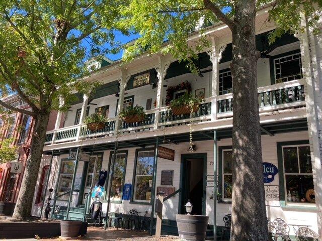
Dahlonega, GA
Advertisement
Dahlonega, GA Map
Dahlonega is a US city in Lumpkin County in the state of Georgia. Located at the longitude and latitude of -83.985000, 34.532500 and situated at an elevation of 442 meters. In the 2020 United States Census, Dahlonega, GA had a population of 7,537 people. Dahlonega is in the Eastern Standard Time timezone at Coordinated Universal Time (UTC) -5. Find directions to Dahlonega, GA, browse local businesses, landmarks, get current traffic estimates, road conditions, and more.
Dahlonega, Georgia, is famously known as the site of the first major gold rush in the United States, which began in 1828. This historical legacy is celebrated at the Dahlonega Gold Museum, housed in the 1836 Lumpkin County Courthouse, where visitors can explore artifacts and learn about the town's golden past. The city is nestled in the North Georgia mountains, providing a picturesque backdrop that attracts tourists year-round. Its charming downtown square is a hub of activity, featuring a variety of local shops, art galleries, and restaurants that offer a taste of local cuisine and culture.
Another significant attraction in Dahlonega is its burgeoning wine industry, with several award-winning wineries and vineyards scattered throughout the area. These offer tours and tastings, showcasing the region's unique terroir and commitment to quality winemaking. Outdoor enthusiasts will find plenty to do, with ample opportunities for hiking, biking, and exploring the scenic Appalachian foothills. Dahlonega's blend of history, culture, and natural beauty makes it a captivating destination for visitors seeking a mix of adventure and relaxation.
Nearby cities include: Dawsonville, GA, Clermont, GA, Cleveland, GA, Gainesville, GA, Helen, GA, Lula, GA, Oakwood, GA, Blairsville, GA, Alto, GA, Cumming, GA.
Places in Dahlonega
Dine and drink
Eat and drink your way through town.
Can't-miss activities
Culture, natural beauty, and plain old fun.
Places to stay
Hang your (vacation) hat in a place that’s just your style.
Advertisement


