


Ambrose, GA
Advertisement
Ambrose, GA Map
Ambrose is a US city in Coffee County in the state of Georgia. Located at the longitude and latitude of -83.015560, 31.593890 and situated at an elevation of 94 meters. In the 2020 United States Census, Ambrose, GA had a population of 327 people. Ambrose is in the Eastern Standard Time timezone at Coordinated Universal Time (UTC) -5. Find directions to Ambrose, GA, browse local businesses, landmarks, get current traffic estimates, road conditions, and more.
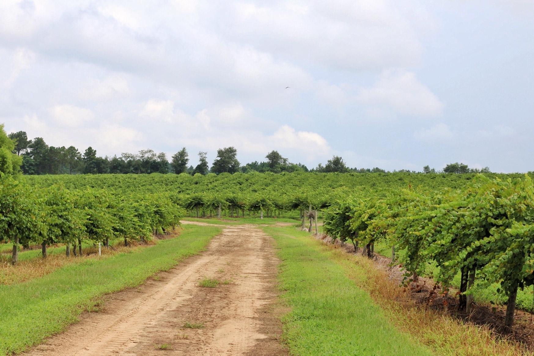
Ambrose, located in the heart of Georgia, is a small city that exudes a quaint charm and is known for its peaceful rural atmosphere. Historically, Ambrose has roots in agriculture, which continues to play a significant role in its economy and cultural identity. The city is a place where community events often revolve around farming and local produce, offering visitors a glimpse into the traditional Southern lifestyle. Ambrose's history is reflected in its historic buildings and the stories shared by its long-time residents, making it a city where the past is cherished and preserved.
While Ambrose may not boast the bustling attractions of larger cities, it offers a few notable spots that capture the essence of this serene locale. Visitors can explore local farms that often open their doors for tours, providing an authentic experience of the region's agrarian heritage. Additionally, the city hosts seasonal festivals that celebrate its agricultural roots, featuring local crafts, food, and music. These events provide an opportunity for both residents and visitors to come together and enjoy the simple pleasures of life in Ambrose. The city's tranquil environment and friendly community make it an appealing destination for those seeking a retreat from the hustle and bustle of urban life.
Nearby cities include: Broxton, GA, Douglas, GA, Ocilla, GA, Jacksonville, GA, Fitzgerald, GA, Willacoochee, GA, Alapaha, GA, Denton, GA, Enigma, GA, Pearson, GA.
Places in Ambrose
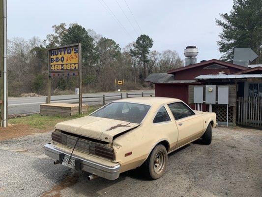
Dine and drink
Eat and drink your way through town.

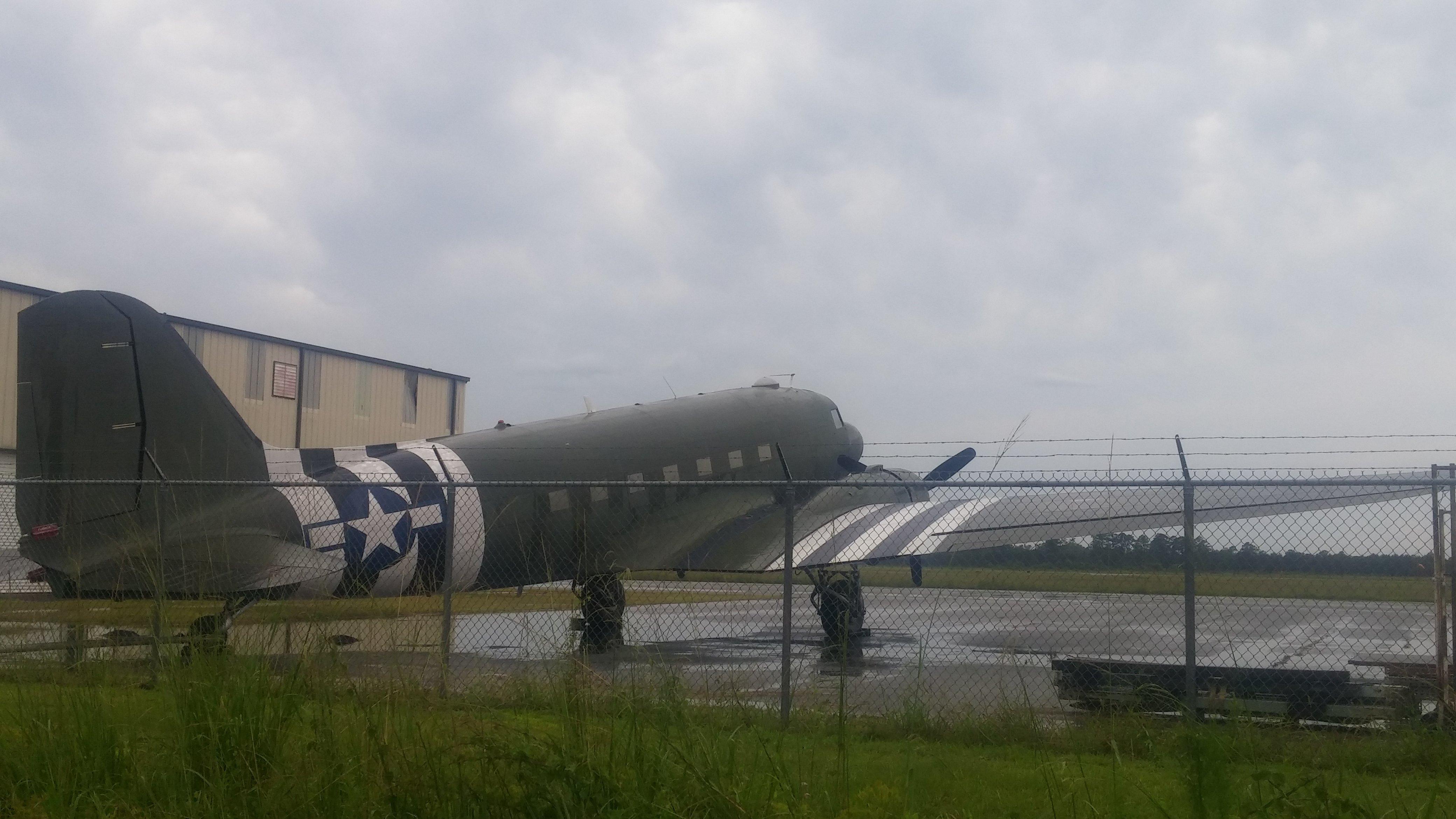
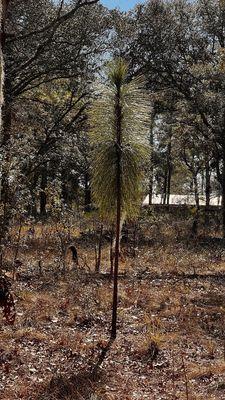
Can't-miss activities
Culture, natural beauty, and plain old fun.
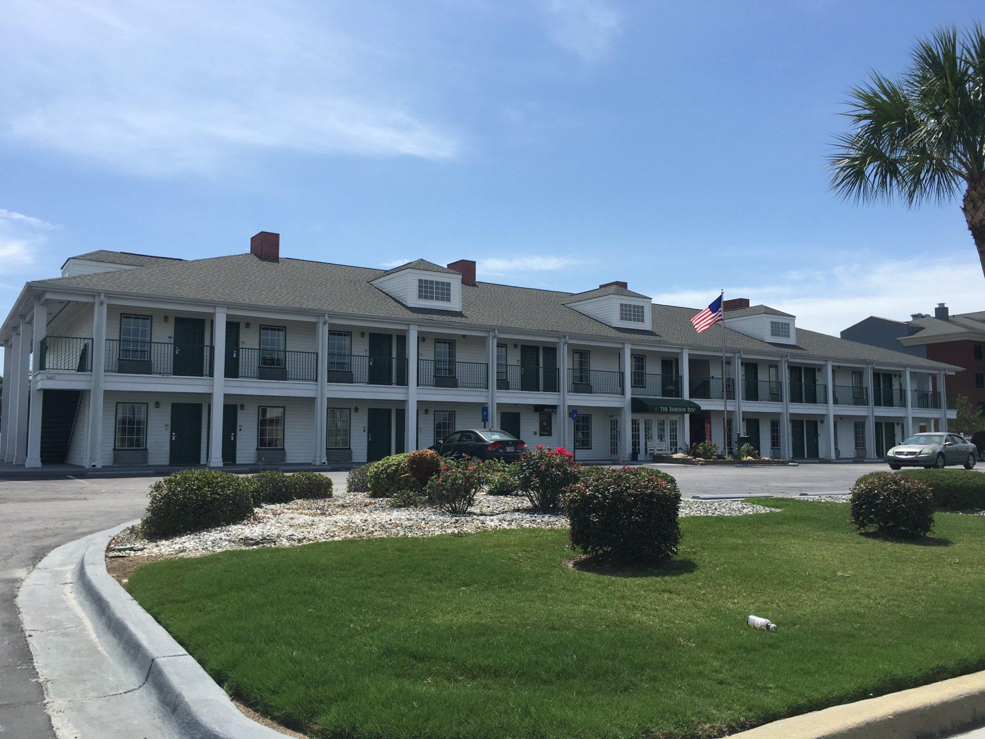
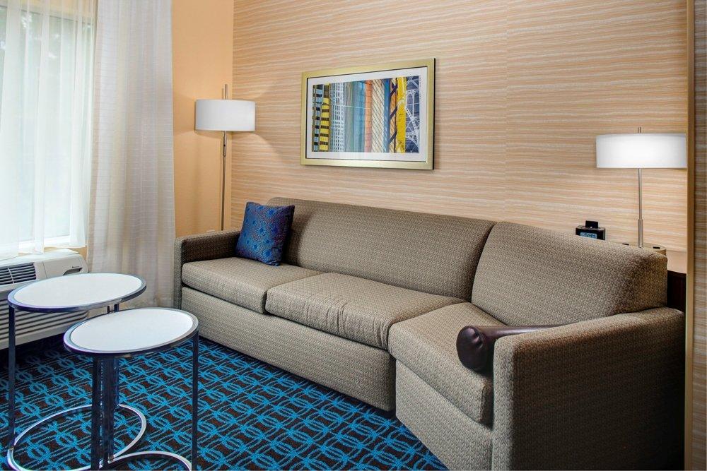
Places to stay
Hang your (vacation) hat in a place that’s just your style.


Advertisement