Paisley
Advertisement
Paisley, FL Map
Paisley is a US city in Lake County in the state of Florida. Located at the longitude and latitude of -81.536944, 28.987500 and situated at an elevation of 72 meters. In the 2020 United States Census, Paisley, FL had a population of 980 people. Paisley is in the Eastern Standard Time timezone at Coordinated Universal Time (UTC) -5. Find directions to Paisley, FL, browse local businesses, landmarks, get current traffic estimates, road conditions, and more.
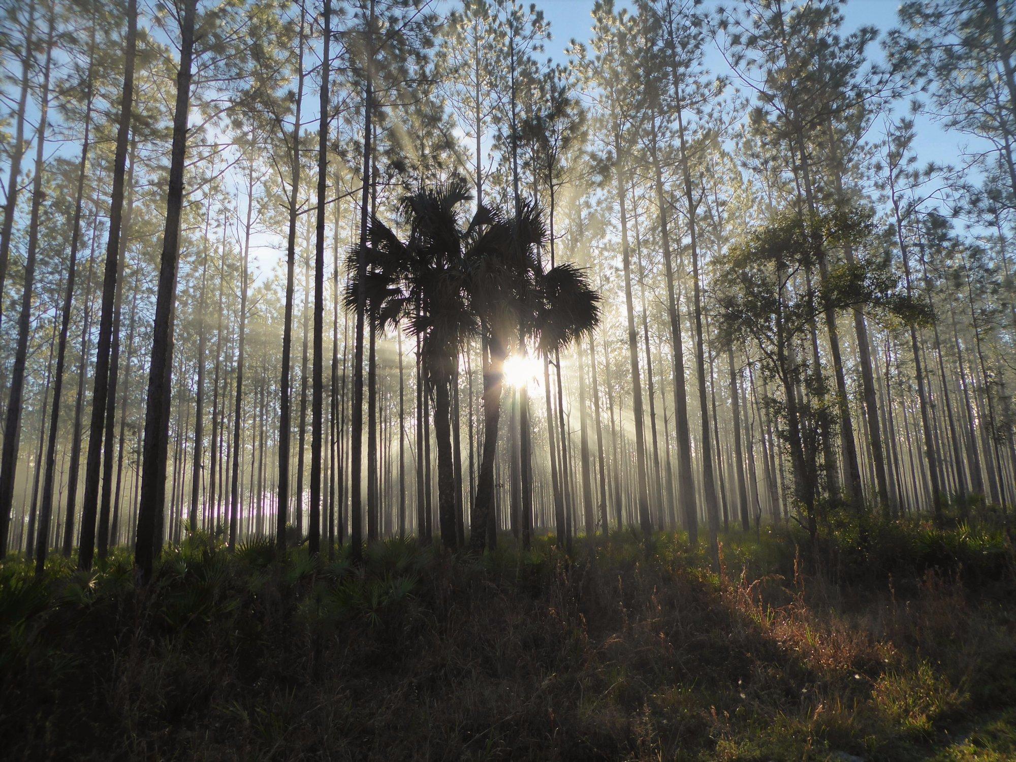
Paisley, nestled in the state of Florida, is a small unincorporated community known for its serene natural landscapes and outdoor recreational opportunities. One of the highlights of Paisley is its proximity to the Ocala National Forest, which offers a vast expanse of wilderness for activities such as hiking, camping, and bird-watching. The Alexander Springs Recreation Area is particularly popular for its crystal-clear springs, inviting visitors for swimming, kayaking, and snorkeling in its refreshing waters. The area's lush surroundings and abundant wildlife make it a perfect getaway for nature enthusiasts.
The history of Paisley is tied closely to its development as a community centered around agriculture and its eventual attraction as a retreat for those seeking tranquility away from bustling urban centers. While it may not boast a wide array of attractions, the charm of Paisley lies in its simplicity and connection to nature. The rural and laid-back vibe of the area provides a unique contrast to the more tourist-heavy regions of Florida, offering a peaceful escape for those looking to experience the quieter side of the Sunshine State.
Nearby cities include: Lake Mack-Forest Hills, FL, Altoona, FL, Umatilla, FL, Astor, FL, Sorrento, FL, West DeLand, FL, Eustis, FL, Mount Plymouth, FL, DeLand Southwest, FL, Mount Dora, FL.
Places in Paisley
Dine and drink
Eat and drink your way through town.
Can't-miss activities
Culture, natural beauty, and plain old fun.
Places to stay
Hang your (vacation) hat in a place that’s just your style.
Advertisement


