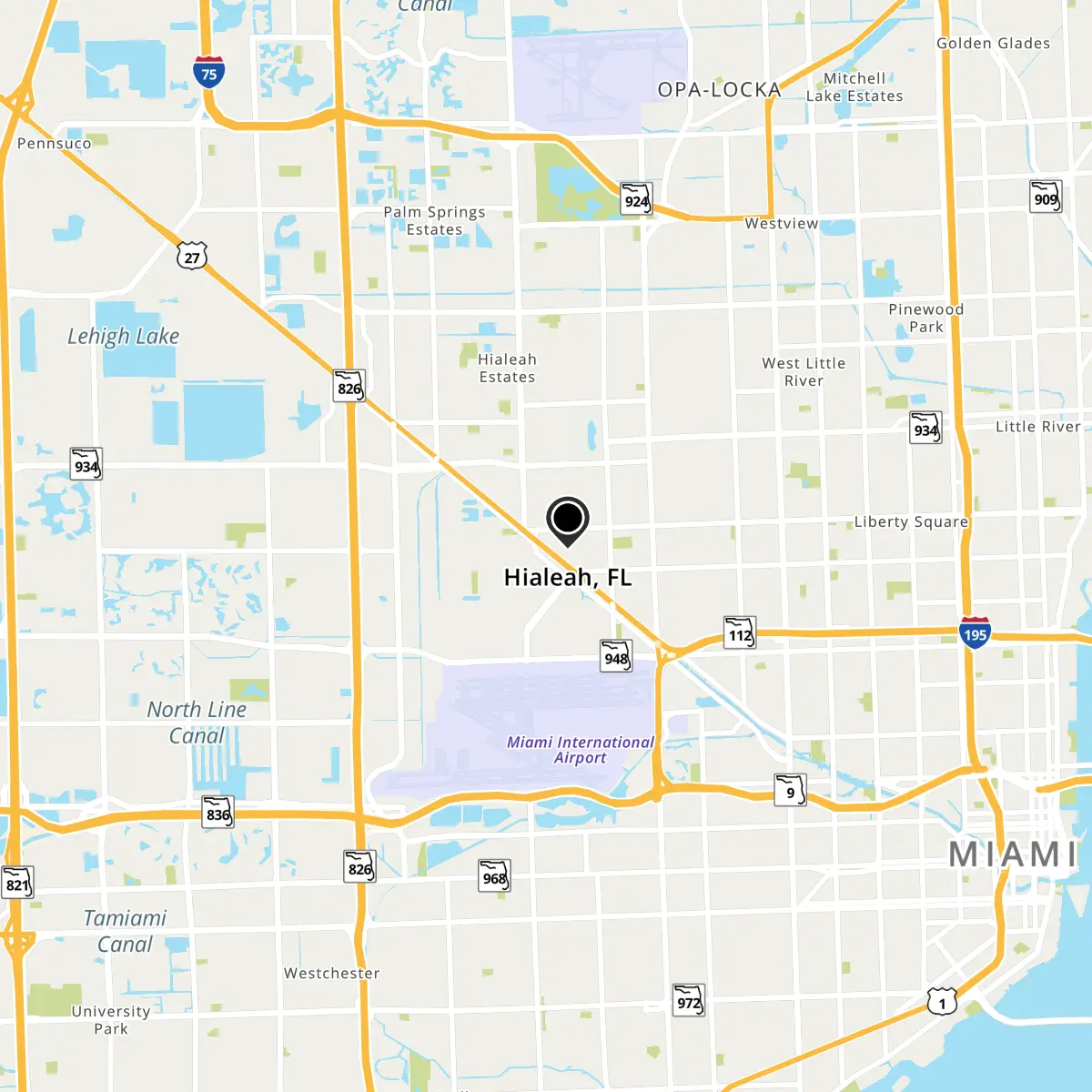
Hialeah, FL Map
Hialeah is a US city in Miami-Dade County in the state of Florida. Located at the longitude and latitude of -80.293889, 25.860556 and situated at an elevation of 2 meters. In the 2020 United States Census, Hialeah, FL had a population of 223,109 people. Hialeah is in the Eastern Standard Time timezone at Coordinated Universal Time (UTC) -5. Find directions to Hialeah, FL, browse local businesses, landmarks, get current traffic estimates, road conditions, and more.
Hialeah, located in the southeastern part of Florida, is renowned for its vibrant Latin culture and strong Cuban influence, which permeates through its cuisine, festivals, and local businesses. The city is recognized for its rich cultural tapestry, making it a hub for those looking to experience authentic Hispanic traditions within the United States. Hialeah is also known for its unique art scene, with various murals and installations that reflect the community's diverse heritage.
A notable landmark in Hialeah is the iconic Hialeah Park Racing & Casino, which has been a staple since the 1920s and offers a glimpse into the city's historic ties to horse racing. For those interested in shopping and dining, the Westland Mall provides a variety of options to explore. Additionally, Amelia Earhart Park offers a scenic escape with opportunities for outdoor activities such as biking and picnicking. The city's history is deeply intertwined with its development as a hub for immigrants, particularly from Cuba, which has significantly shaped its cultural and social landscape over the decades.
Nearby cities include: Medley, FL, Miami Springs, FL, Virginia Gardens, FL, West Little River, FL, Hialeah Gardens, FL, Miami Lakes, FL, Brownsville, FL, Pinewood, FL, Doral, FL, Country Club, FL.
Map of Hialeah, FL
