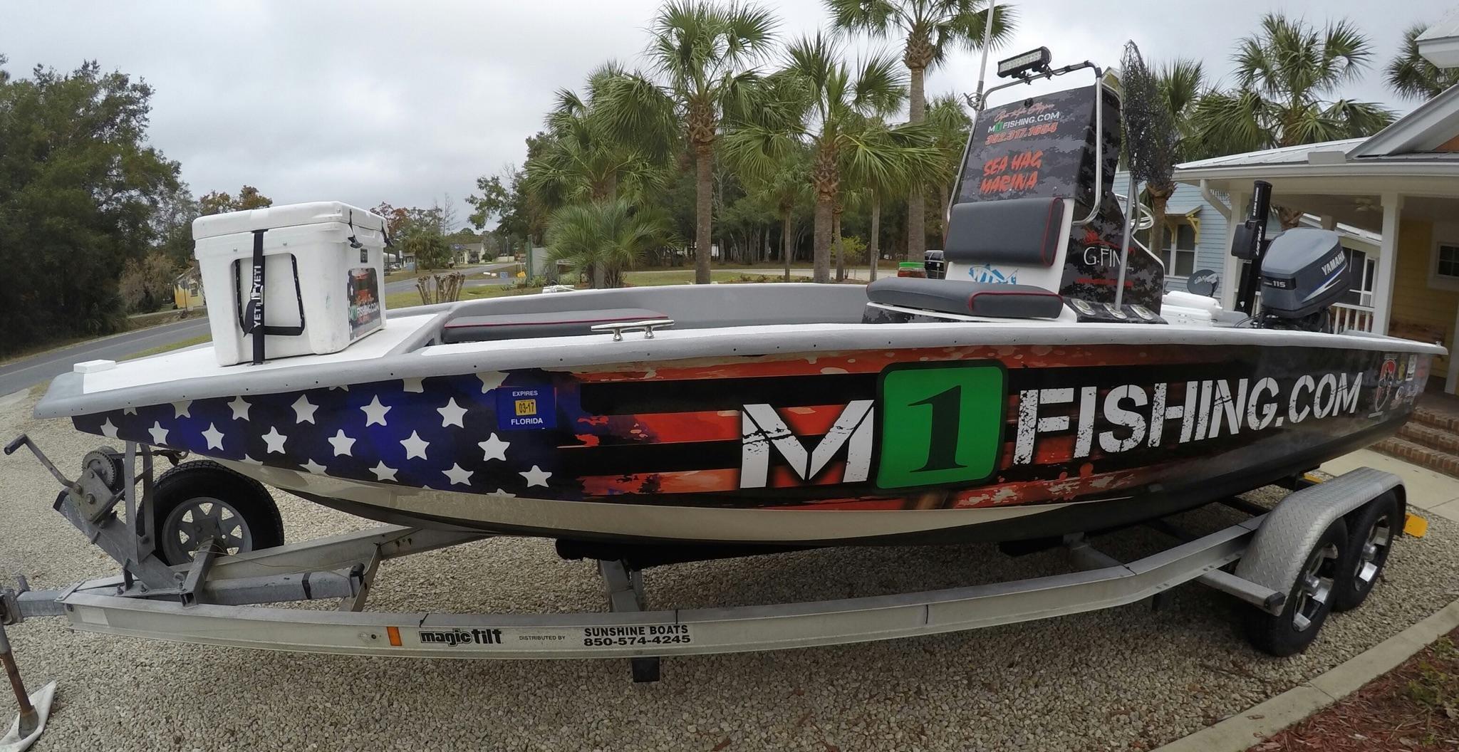
Steinhatchee, FL
Advertisement
Steinhatchee, FL Map
Steinhatchee is a US city in Taylor County in the state of Florida. Located at the longitude and latitude of -83.387500, 29.671111 and situated at an elevation of 2 meters. In the 2020 United States Census, Steinhatchee, FL had a population of 1,049 people. Steinhatchee is in the Eastern Standard Time timezone at Coordinated Universal Time (UTC) -5. Find directions to Steinhatchee, FL, browse local businesses, landmarks, get current traffic estimates, road conditions, and more.
Steinhatchee, located in Florida, is a quaint coastal community known for its rich fishing heritage and natural beauty. This charming town is a haven for anglers and nature enthusiasts, with the Steinhatchee River offering abundant opportunities for fishing, boating, and kayaking. The area is particularly renowned for its scalloping season, attracting visitors eager to collect bay scallops in the Gulf of Mexico's shallow waters. Steinhatchee's serene environment is perfect for those seeking a peaceful retreat surrounded by lush landscapes and pristine waters.
Among the popular places to explore in Steinhatchee, the Steinhatchee Falls is a must-see, offering picturesque views and a tranquil setting for picnics and leisurely strolls. The town also boasts a variety of local eateries and seafood restaurants where visitors can savor fresh catches of the day. Historically, Steinhatchee has been a fishing village since the 19th century, and its long-standing maritime tradition continues to influence the local culture and economy. Whether you're interested in outdoor adventures or enjoying the laid-back atmosphere, Steinhatchee presents a delightful escape into Florida's natural wonders.
Nearby cities include: Cross City, FL, Horseshoe Beach, FL, Fanning Springs, FL, Mayo, FL, Manatee Road, FL, Bell, FL, Perry, FL, Branford, FL, Chiefland, FL, Trenton, FL.
Places in Steinhatchee
Dine and drink
Eat and drink your way through town.
Can't-miss activities
Culture, natural beauty, and plain old fun.
Places to stay
Hang your (vacation) hat in a place that’s just your style.
Advertisement


