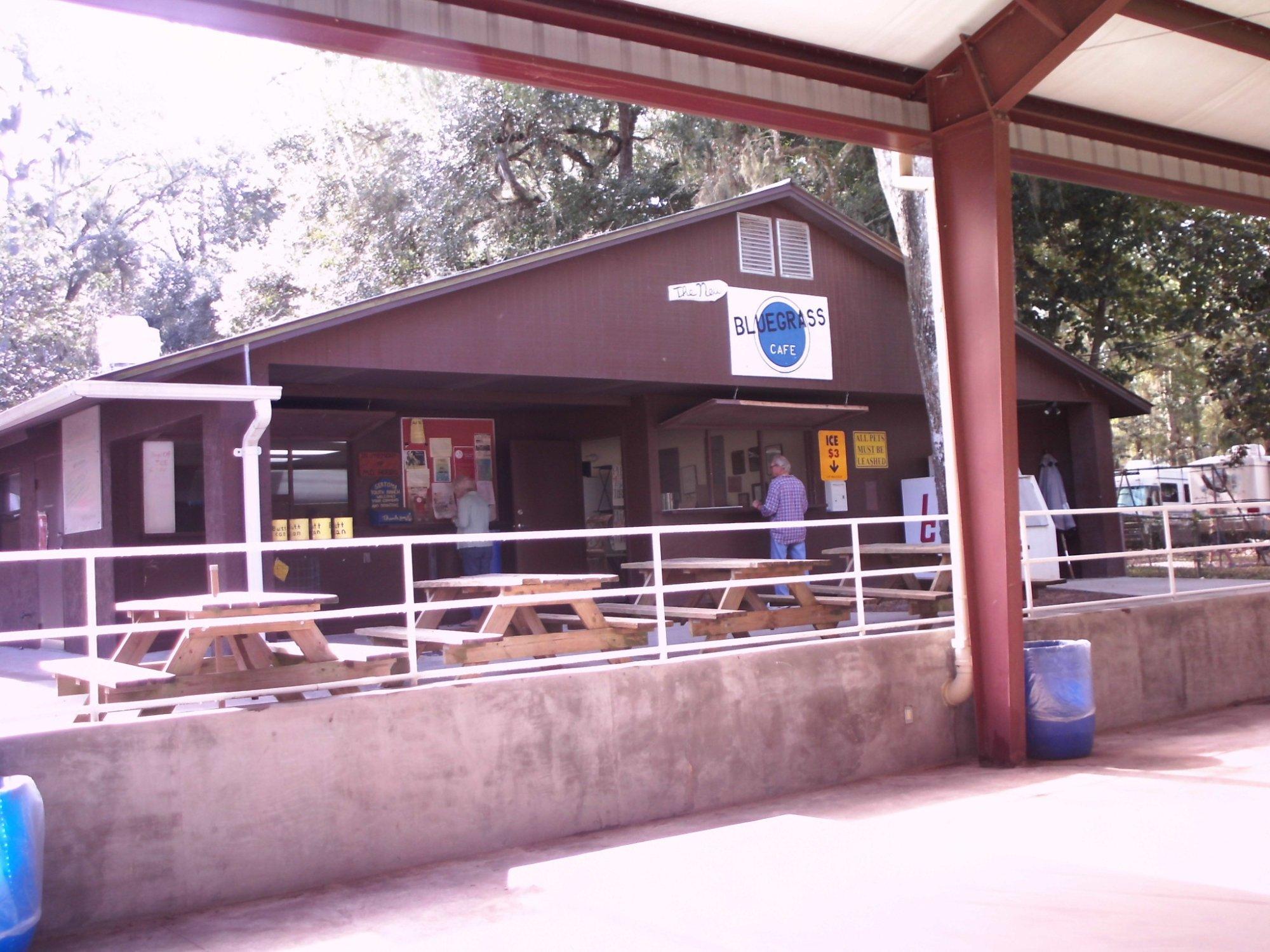
San Antonio, FL
Advertisement
San Antonio, FL Map
San Antonio is a US city in Pasco County in the state of Florida. Located at the longitude and latitude of -82.275000, 28.336667 and situated at an elevation of 51 meters. In the 2020 United States Census, San Antonio, FL had a population of 1,297 people. San Antonio is in the Eastern Standard Time timezone at Coordinated Universal Time (UTC) -5. Find directions to San Antonio, FL, browse local businesses, landmarks, get current traffic estimates, road conditions, and more.
San Antonio, located in the state of Florida, is a quaint city known for its serene atmosphere and small-town charm. Unlike its more famous Texan namesake, this San Antonio offers a tranquil escape with a touch of history. The city has roots that date back to the late 19th century, when it was founded by Judge Edmund F. Dunne as part of a Catholic colony. This historical backdrop is reflected in some of the city’s architecture and community events that celebrate its heritage. Visitors often find themselves drawn to the city's peaceful streets and the welcoming nature of its residents.
A popular spot within San Antonio is the Saint Leo Abbey, located nearby, which is part of the Saint Leo University campus. The abbey is known for its stunning architecture and serene gardens, offering a glimpse into the area's spiritual history. Additionally, the city hosts various local events and festivals that highlight its community spirit, such as the annual Rattlesnake Festival, which features live music, arts and crafts, and traditional foods. For those seeking outdoor activities, the surrounding landscapes provide ample opportunities for hiking, bird watching, and enjoying the natural Florida scenery. This city may be small, but it packs a punch with its rich history and warm hospitality.
Nearby cities include: Dade City, FL, Dade City North, FL, Zephyrhills West, FL, Zephyrhills, FL, Zephyrhills South, FL, Connerton, FL, Wesley Chapel, FL, Masaryktown, FL, Brooksville, FL, Lutz, FL.
Places in San Antonio
Dine and drink
Eat and drink your way through town.
Can't-miss activities
Culture, natural beauty, and plain old fun.
Places to stay
Hang your (vacation) hat in a place that’s just your style.
Advertisement


