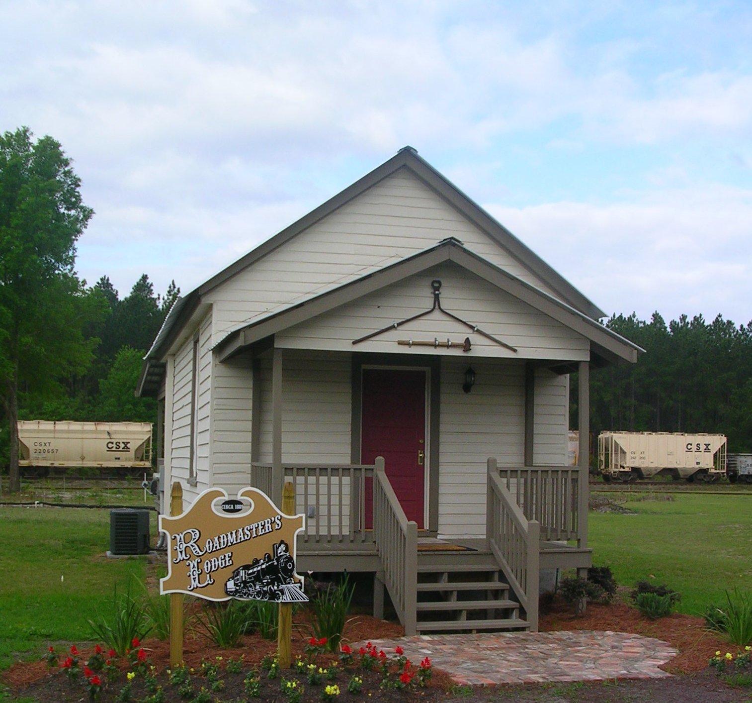
Hilliard, FL
Advertisement
Hilliard, FL Map
Hilliard is a US city in Nassau County in the state of Florida. Located at the longitude and latitude of -81.925000, 30.687778 and situated at an elevation of 18 meters. In the 2020 United States Census, Hilliard, FL had a population of 2,967 people. Hilliard is in the Eastern Standard Time timezone at Coordinated Universal Time (UTC) -5. Find directions to Hilliard, FL, browse local businesses, landmarks, get current traffic estimates, road conditions, and more.
Hilliard, located in the northeastern part of Florida, is a small town that offers a quaint, rural charm. Known for its close-knit community and peaceful atmosphere, Hilliard provides an escape from the hustle and bustle of urban life. The town is particularly recognized for its rich history in agriculture and timber, which have been the backbone of its economy for many years. Visitors can explore the scenic landscapes and enjoy outdoor activities, making it an ideal spot for those who appreciate nature and tranquility.
One of the popular attractions in Hilliard is the Ralph E. Simmons Memorial State Forest, which offers plenty of opportunities for hiking, bird watching, and wildlife photography. The forest's well-maintained trails and diverse ecosystems provide a serene retreat for nature enthusiasts. Additionally, Hilliard's local events, such as community fairs and farmer's markets, offer a glimpse into the town's cultural heritage and traditions. These gatherings allow visitors to experience the warmth and friendliness that Hilliard is known for, making it a memorable destination for those seeking a genuine small-town experience.
Nearby cities include: Callahan, FL, Folkston, GA, Homeland, GA, Kingsland, GA, Yulee, FL, Woodbine, GA, Baldwin, FL, Fernandina Beach, FL, Jacksonville, FL, Macclenny, FL.
Places in Hilliard
Dine and drink
Eat and drink your way through town.
Can't-miss activities
Culture, natural beauty, and plain old fun.
Places to stay
Hang your (vacation) hat in a place that’s just your style.
Advertisement


