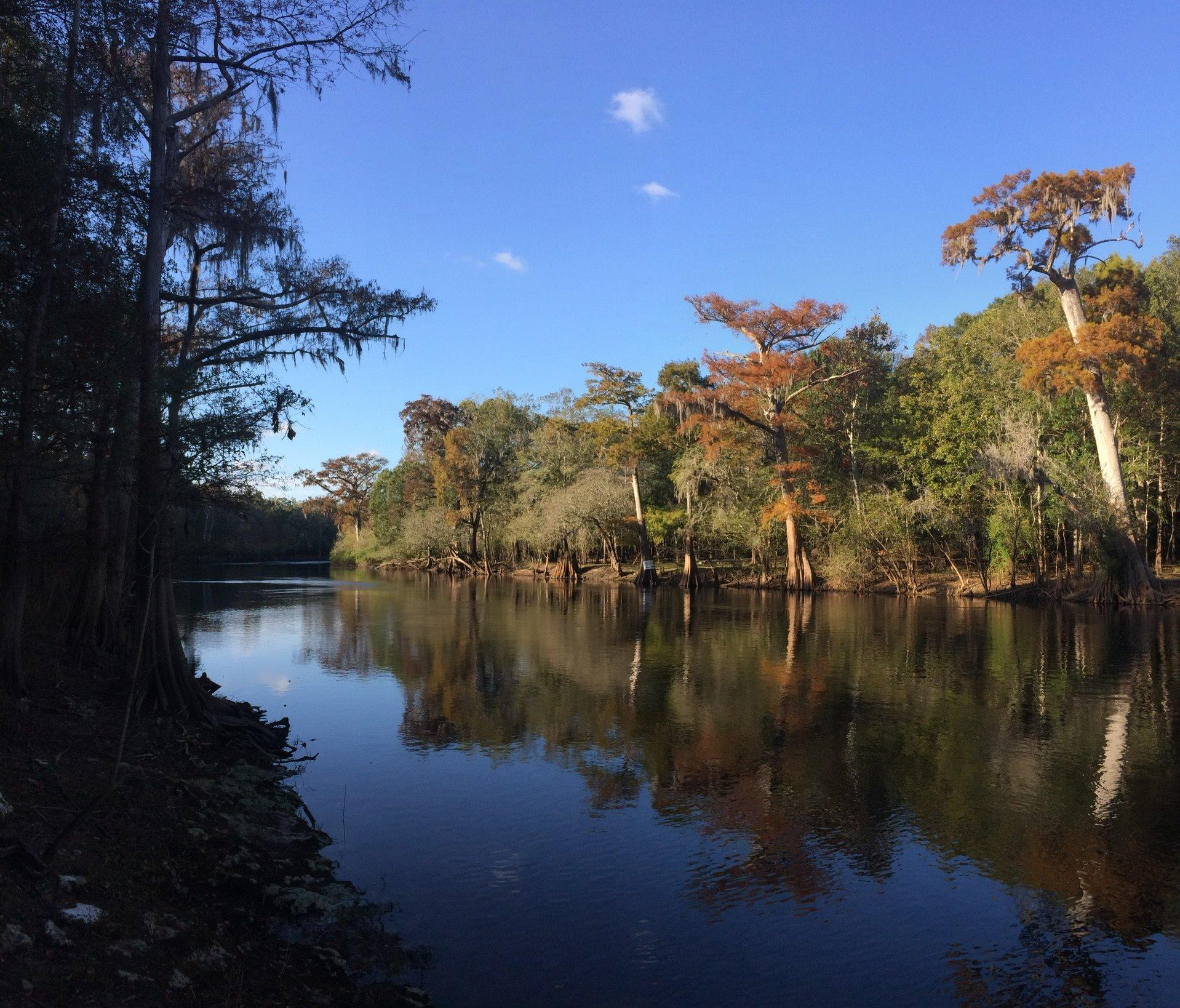
Fort White, FL
Advertisement
Fort White, FL Map
Fort White is a US city in Columbia County in the state of Florida. Located at the longitude and latitude of -82.714167, 29.923056 and situated at an elevation of 21 meters. In the 2020 United States Census, Fort White, FL had a population of 618 people. Fort White is in the Eastern Standard Time timezone at Coordinated Universal Time (UTC) -5. Find directions to Fort White, FL, browse local businesses, landmarks, get current traffic estimates, road conditions, and more.
Fort White, located in Florida, is a small town that offers a unique blend of natural beauty and historical significance. Known for its proximity to some of Florida’s most stunning natural springs, Fort White serves as a gateway to Ichetucknee Springs State Park, a popular destination for tubing, kayaking, and wildlife observation. The crystal-clear waters of the Ichetucknee River attract visitors year-round, providing a refreshing escape into nature. The park is also a haven for bird watchers and those interested in exploring Florida’s diverse ecosystems.
Historically, Fort White originated as a fort during the Seminole Wars in the 19th century, which played a role in its development as a settlement. While the fort itself no longer stands, the town retains a charming, small-town atmosphere with a few local establishments that reflect its heritage. Visitors often appreciate the slower pace and the chance to explore rural Florida life. The town's historical roots and natural attractions make it a worthwhile stop for those exploring the region. Fort White encapsulates a slice of Florida's natural and historical landscape, offering a peaceful retreat with a touch of historical intrigue.
Nearby cities include: High Springs, FL, Branford, FL, Bell, FL, Alachua, FL, Worthington Springs, FL, Lake City, FL, La Crosse, FL, Newberry, FL, Trenton, FL, Wellborn, FL.
Places in Fort White
Dine and drink
Eat and drink your way through town.
Can't-miss activities
Culture, natural beauty, and plain old fun.
Places to stay
Hang your (vacation) hat in a place that’s just your style.
Advertisement


