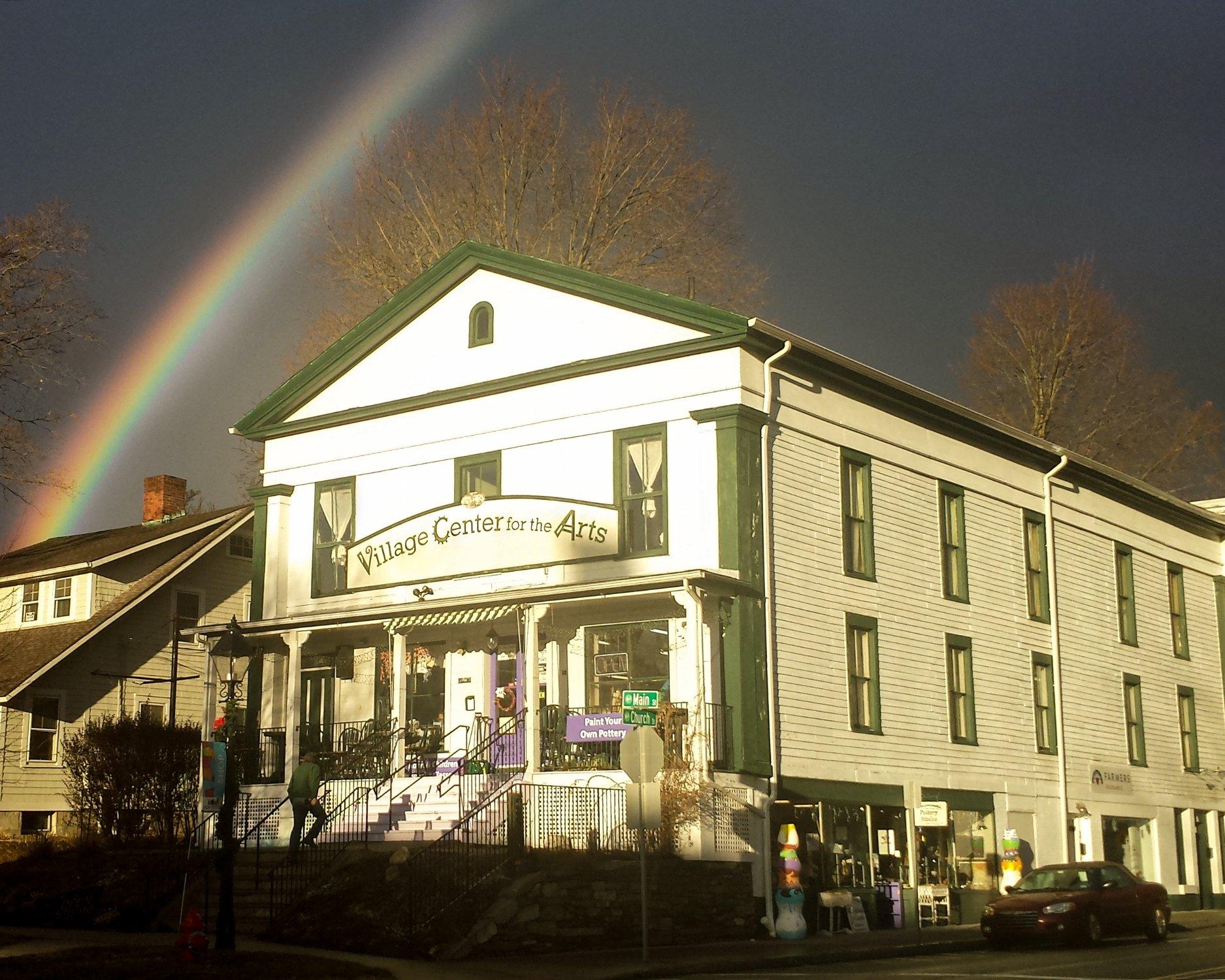
New Milford, CT
Advertisement
New Milford, CT Map
New Milford is a US city in Litchfield County in the state of Connecticut. Located at the longitude and latitude of -73.400000, 41.583333 and situated at an elevation of 86 meters. In the 2020 United States Census, New Milford, CT had a population of 28,115 people. New Milford is in the Eastern Standard Time timezone at Coordinated Universal Time (UTC) -5. Find directions to New Milford, CT, browse local businesses, landmarks, get current traffic estimates, road conditions, and more.
New Milford, located in the state of Connecticut, is a charming town that seamlessly blends historical allure with natural beauty. Known for its quintessential New England charm, the town is a gateway to the scenic Litchfield Hills and offers a plethora of outdoor activities, making it a popular destination for nature enthusiasts. One of its notable landmarks is the Lover’s Leap State Park, offering picturesque views of the Housatonic River and the iconic Lover’s Leap Bridge. The town's history is rich, dating back to its establishment in 1707, and it played a significant role during the colonial era, which is reflected in its well-preserved architecture and historical sites.
Visitors can explore the quaint downtown area, which boasts a variety of boutique shops, art galleries, and dining options that highlight the local culture and cuisine. The New Milford Historical Society and Museum provides a deeper dive into the town's past, housing artifacts and exhibits that narrate its development over the centuries. Additionally, the town hosts several community events throughout the year, such as the New Milford Village Fair Days, which celebrates local arts, crafts, and traditions. With its blend of historical significance and natural charm, New Milford offers a delightful experience for those seeking a peaceful yet enriching getaway.
Nearby cities include: Bridgewater, CT, Sherman, CT, Roxbury, CT, Gaylordsville, CT, Washington, CT, Brookfield, CT, New Fairfield, CT, Woodbury, CT, Pawling, NY, Woodbury Center, CT.
Places in New Milford
Dine and drink
Eat and drink your way through town.
Can't-miss activities
Culture, natural beauty, and plain old fun.
Places to stay
Hang your (vacation) hat in a place that’s just your style.
Advertisement


