Nunn, CO
Advertisement
Nunn Map
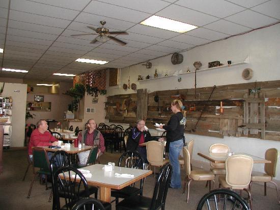
Nunn is a Statutory Town in Weld County, Colorado, United States. The population was 471 at the 2000 census. The town is small rural agricultural community located on the Colorado Eastern Plains north of Greeley. Somewhat isolated, it is surrounded by flat cultivated countryside of the Colorado Piedmont in area historically known for raising cattle, sheep, sugar beets, beans and potatoes. The town was founded as a shipping point on the Denver Pacific Railroad in the late 19th century and today sits along the western side of U.S. Highway 85 between Greeley and Cheyenne, Wyoming. It consists of a small grid of single-family homes on gravel streets. The town has suffered a decline in both its economy and population beginning in the middle 20th century, and today the former storefronts along Logan Street parallel to the highway are largely boarded up. The remaining industry in town consists of a grain elevator and a cafe, as well as several industrial farm facilities on the outskirts of town. A major landmark is a large water tower emblazoned with the words "watch Nunn grow". The remaining economic activity has largely shifted southward to the towns of Pierce and Ault. The town also has a town park and a municipal hall.
Nunn is located at 40°42?14?N 104°46?51?W / 40.70389°N 104.78083°W / 40.70389; -104.78083.
According to the United States Census Bureau, the town has a total area of 1.8 square miles (4.6 km²), all of it land.
Nearby cities include Wellington, Eaton, Severance, Timnath, Windsor.
Places in Nunn
Dine and drink
Eat and drink your way through town.
Can't-miss activities
Culture, natural beauty, and plain old fun.
Places to stay
Hang your (vacation) hat in a place that’s just your style.
Advertisement


