


Kirk, CO
Advertisement
Kirk, CO Map
Kirk is a US city in Yuma County in the state of Colorado. Located at the longitude and latitude of -102.592000, 39.612800 and situated at an elevation of 1,281 meters. In the 2020 United States Census, Kirk, CO had a population of 61 people. Kirk is in the Mountain Standard Time timezone at Coordinated Universal Time (UTC) -7. Find directions to Kirk, CO, browse local businesses, landmarks, get current traffic estimates, road conditions, and more.
Kirk, located in the state of Colorado, is a small yet notable town characterized by its charming rural atmosphere and agricultural roots. Known for its wide-open spaces and friendly community, Kirk offers a quintessential slice of American heartland life. The town is surrounded by expansive farmland, providing a picturesque backdrop for those who visit. Kirk is also recognized for its historical significance, with its origins dating back to the early 20th century when it served as a hub for local farmers and ranchers.
Among the places that draw visitors to Kirk is the local community center, which often hosts events and gatherings that highlight the town’s close-knit spirit. For those interested in history, the town provides a glimpse into the past with its preserved historical buildings and sites that reflect the early days of settlement in the region. While Kirk may not boast the attractions of larger cities, its simplicity and serene landscape offer a peaceful retreat for those looking to experience the understated beauty of rural Colorado.
Nearby cities include: Joes, CO, Cope, CO, Idalia, CO, Stratton, CO, Vona, CO, Bethune, CO, Seibert, CO, Vernon, CO, Burlington, CO, Jaqua, KS.
Places in Kirk
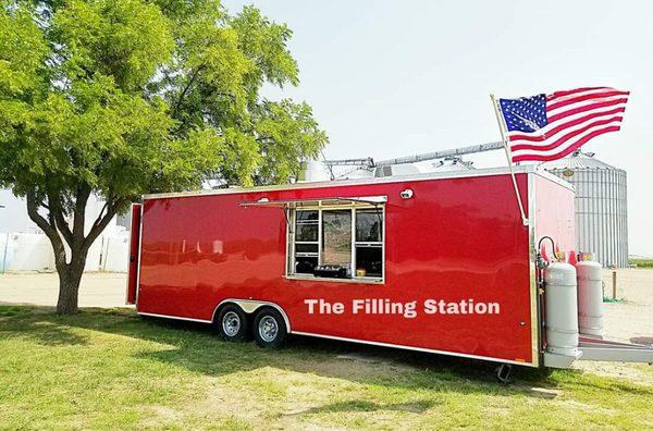
Dine and drink
Eat and drink your way through town.


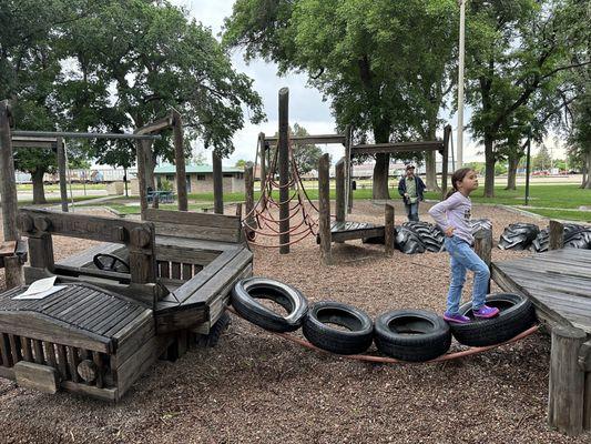
Can't-miss activities
Culture, natural beauty, and plain old fun.


Places to stay
Hang your (vacation) hat in a place that’s just your style.


Advertisement