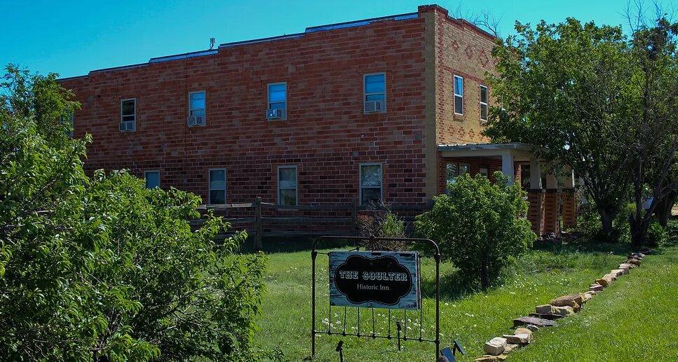
Kim, CO
Advertisement
Kim, CO Map
Kim is a US city in Las Animas County in the state of Colorado. Located at the longitude and latitude of -103.354000, 37.246100 and situated at an elevation of 1,734 meters. In the 2020 United States Census, Kim, CO had a population of 63 people. Kim is in the Mountain Standard Time timezone at Coordinated Universal Time (UTC) -7. Find directions to Kim, CO, browse local businesses, landmarks, get current traffic estimates, road conditions, and more.
Kim, located in the southeastern part of Colorado, is a small town that exudes a quiet charm, deeply rooted in its agricultural surroundings and history. Known primarily for its rural lifestyle and wide-open spaces, Kim offers a glimpse into the traditional American small-town experience. The town's history is tied closely to the ranching and farming that have sustained its community for generations. Visitors often find themselves enchanted by the simplicity and the slow pace that Kim offers, a stark contrast to the hustle and bustle of urban life.
While Kim may not boast a plethora of tourist attractions, its appeal lies in its unspoiled natural beauty and its proximity to the Comanche National Grassland. This area is a popular spot for those interested in hiking, bird watching, and exploring the unique landscapes of southeastern Colorado. The grassland is also home to Picket Wire Canyonlands, where visitors can find the largest dinosaur track site in North America. These tracks offer a fascinating peek into the prehistoric past, making it a notable point of interest for paleontology enthusiasts and casual visitors alike. Kim serves as a gateway to these natural wonders, providing a peaceful retreat for those seeking solitude and a connection to nature.
Nearby cities include: Pritchett, CO, Kenton, OK, Branson, CO, Folsom, NM, Springfield, CO, Des Moines, NM, Campo, CO, Grenville, NM, Vilas, CO, La Junta, CO.
Places in Kim
Dine and drink
Eat and drink your way through town.
Can't-miss activities
Culture, natural beauty, and plain old fun.
Places to stay
Hang your (vacation) hat in a place that’s just your style.
Advertisement


