Empire, CO
Advertisement
Empire Map
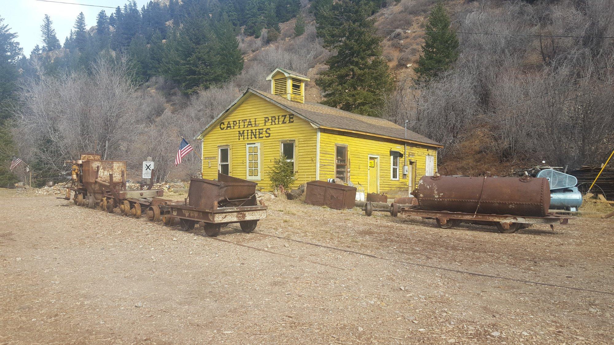
The historic Town of Empire is a Statutory Town located in Clear Creek County, Colorado, United States. The population was 355 at the U.S. Census 2000. The town is a former mining settlement that flourished during the Colorado Silver Boom in the late 19th century. It is located in the valley Clear Creek west of Denver, on the north side of the valley. The town consists of several commercial establishments and residents. U.S. Highway 40 passes through the town as its ascends towards Berthoud Pass, putting the town on the direct route between Denver and Middle Park.
Empire is located at 39°45?37?N 105°40?59?W / 39.760319°N 105.682995°W / 39.760319; -105.682995.
According to the United States Census Bureau, the town has a total area of 0.2 square miles (0.6 km²), all of it land.
Nearby cities include Black Hawk, Fraser, Rollinsville, Nederland, Tabernash.
Places in Empire
Dine and drink
Eat and drink your way through town.
Can't-miss activities
Culture, natural beauty, and plain old fun.
Places to stay
Hang your (vacation) hat in a place that’s just your style.
Advertisement


