


Northglenn, CO
Advertisement
Northglenn, CO Map
Northglenn is a US city in Adams County in the state of Colorado. Located at the longitude and latitude of -104.981944, 39.897500 and situated at an elevation of 1,639 meters. In the 2020 United States Census, Northglenn, CO had a population of 38,131 people. Northglenn is in the Mountain Standard Time timezone at Coordinated Universal Time (UTC) -7. Find directions to Northglenn, CO, browse local businesses, landmarks, get current traffic estimates, road conditions, and more.
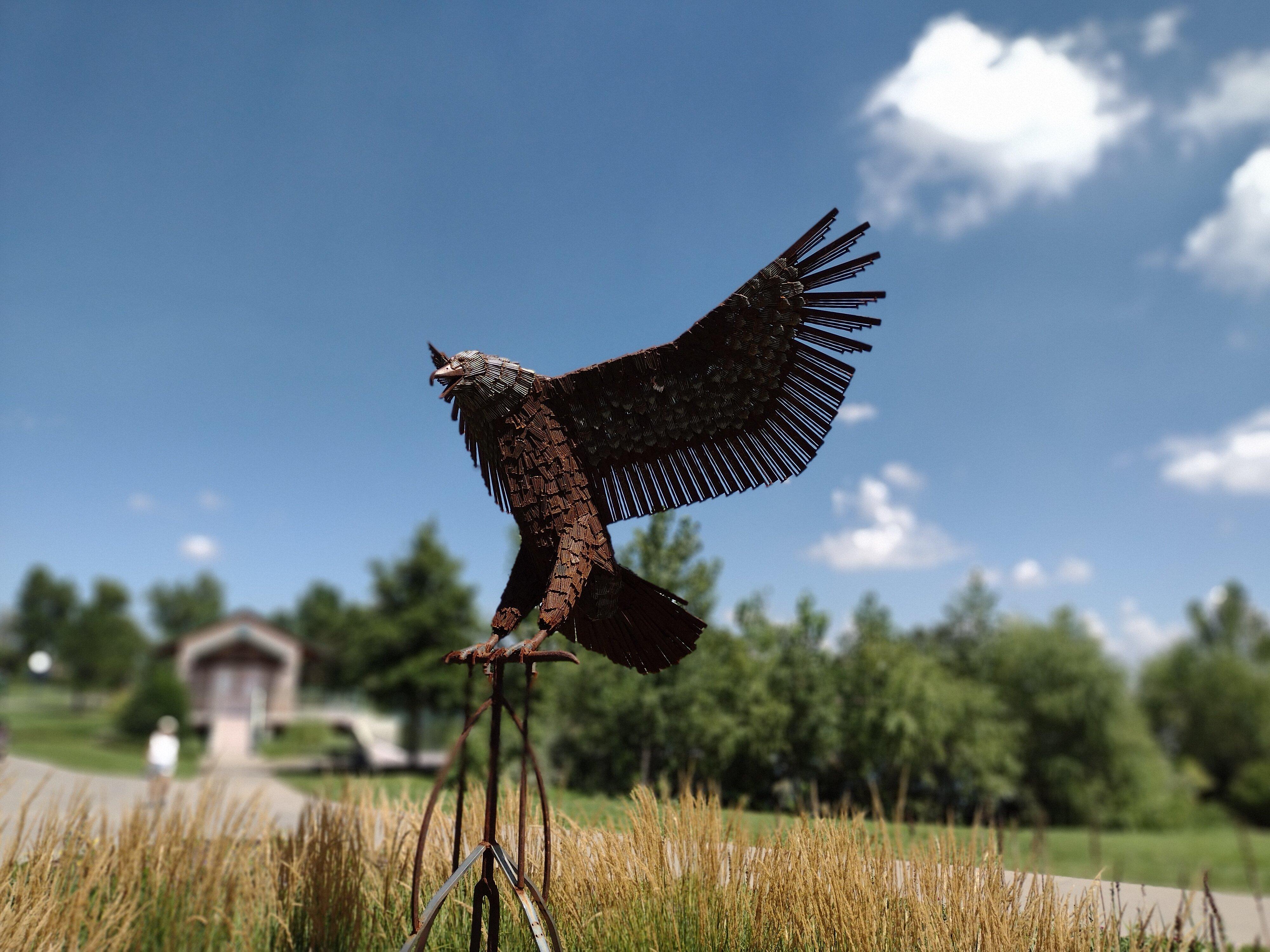
Northglenn, Colorado, is a suburban enclave known for its strong sense of community and well-developed infrastructure. Established in the late 1950s as a master-planned community, Northglenn has grown into a vibrant city with a plethora of parks and recreational facilities. The Northglenn Recreation Center is a popular destination, offering a variety of activities and amenities for residents and visitors alike. The city is also recognized for its commitment to public art, with the Northglenn Arts & Humanities Foundation supporting various installations and performances throughout the year.
For those interested in shopping and dining, Northglenn boasts the Webster Lake Promenade, which features a mix of retail stores, restaurants, and entertainment options. Additionally, the city hosts several annual events, including the Magic Fest and the Pirate Festival, which draw visitors from across the region. With its blend of suburban charm and cultural initiatives, Northglenn provides a welcoming environment for both residents and tourists seeking a taste of community life in Colorado.
Nearby cities include: Thornton, CO, Federal Heights, CO, Federal Heights, CO, Broomfield, CO, Shaw Heights, CO, Twin Lakes, CO, Westminster, CO, Commerce City, CO, Arvada, CO, Arvada, CO.
Places in Northglenn
Dine and drink
Eat and drink your way through town.


Can't-miss activities
Culture, natural beauty, and plain old fun.


Places to stay
Hang your (vacation) hat in a place that’s just your style.


Advertisement