Leadville, CO
Advertisement
Leadville, CO Map
Leadville is a US city in Lake County in the state of Colorado. Located at the longitude and latitude of -106.292414, 39.247200 and situated at an elevation of 3,094 meters. In the 2020 United States Census, Leadville, CO had a population of 2,633 people. Leadville is in the Mountain Standard Time timezone at Coordinated Universal Time (UTC) -7. Find directions to Leadville, CO, browse local businesses, landmarks, get current traffic estimates, road conditions, and more.
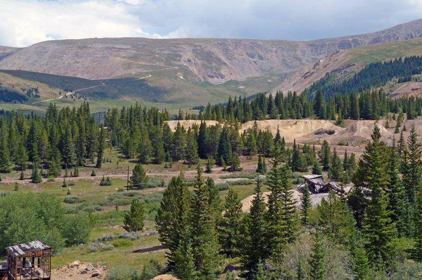
Leadville, Colorado, stands as a testament to the rich mining history of the American West. Nestled at an elevation of over 10,000 feet, it is the highest incorporated city in the United States. Leadville is famed for its vibrant past during the late 19th-century silver boom, which transformed it into one of the world's most prosperous mining towns. Today, visitors can explore this history at the National Mining Hall of Fame and Museum, which offers insights into the area's storied past and the lives of the miners who once thrived there.
Beyond its historical allure, Leadville is a gateway to outdoor adventure. The city is surrounded by the stunning Rocky Mountains, making it a popular destination for hiking, mountain biking, and skiing. Turquoise Lake, located a short drive from downtown, provides opportunities for fishing, boating, and picturesque picnics. The Leadville Scenic Railroad offers a unique way to experience the breathtaking alpine scenery with a leisurely ride through the mountains. With its unique blend of history and natural beauty, Leadville provides a compelling destination for those seeking both adventure and a glimpse into the past.
Nearby cities include: Leadville North, CO, Alma, CO, Fairplay, CO, Red Cliff, CO, Blue River, CO, Breckenridge, CO, Como, CO, Minturn, CO, Frisco, CO, Vail, CO.
Places in Leadville
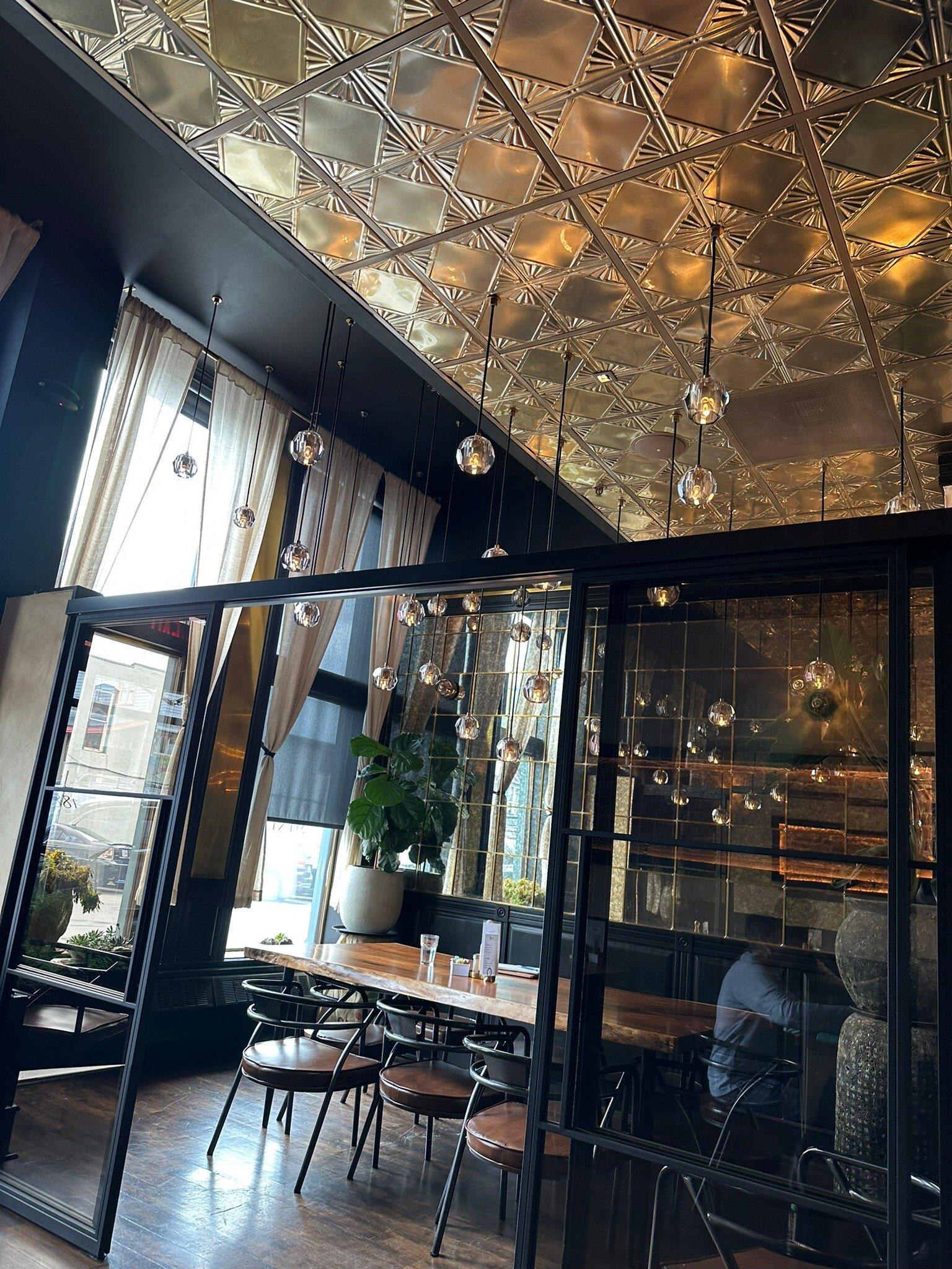
Dine and drink
Eat and drink your way through town.
Can't-miss activities
Culture, natural beauty, and plain old fun.
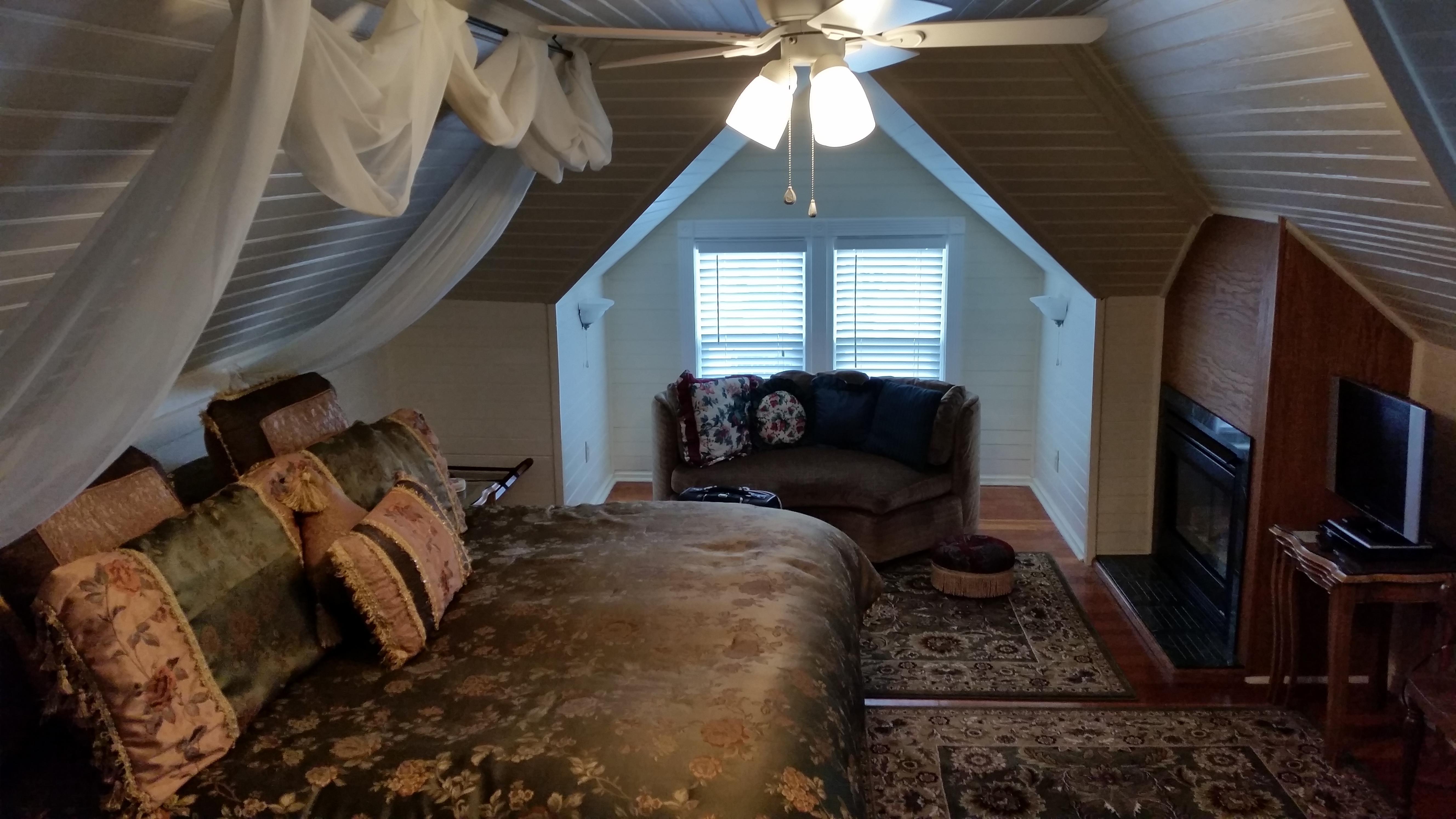
Places to stay
Hang your (vacation) hat in a place that’s just your style.
Advertisement


