La Junta, CO
Advertisement
La Junta, CO Map
La Junta is a US city in Otero County in the state of Colorado. Located at the longitude and latitude of -103.548000, 37.981400 and situated at an elevation of 1,243 meters. In the 2020 United States Census, La Junta, CO had a population of 7,322 people. La Junta is in the Mountain Standard Time timezone at Coordinated Universal Time (UTC) -7. Find directions to La Junta, CO, browse local businesses, landmarks, get current traffic estimates, road conditions, and more.
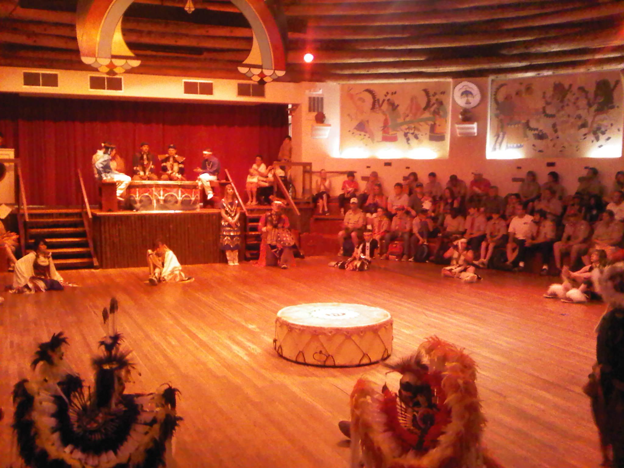
La Junta, located in Colorado, is a city that prides itself on its rich historical tapestry and natural beauty. Known primarily for its proximity to Bent's Old Fort National Historic Site, La Junta offers a glimpse into the 19th-century trading post era that was pivotal in the region’s development. This reconstructed adobe fort is a living history museum that draws visitors interested in the interactions between traders, trappers, and Native American tribes. La Junta is also home to the Koshare Indian Museum & Dancers, which showcases Native American artifacts and hosts performances that celebrate indigenous culture, providing an educational and entertaining experience for all ages.
In addition to historical attractions, La Junta serves as a gateway to outdoor adventures with nearby attractions like the Comanche National Grassland. This area is renowned for its scenic landscapes and is a haven for hikers, bird watchers, and history enthusiasts interested in seeing the Picketwire Canyonlands, which are home to one of the largest known dinosaur track sites in North America. The city itself retains a small-town charm with local eateries and community events, offering a welcoming atmosphere for visitors looking to explore a part of Colorado that is steeped in history and natural splendor.
Nearby cities include: Swink, CO, Cheraw, CO, Rocky Ford, CO, Sugar City, CO, Las Animas, CO, Manzanola, CO, Ordway, CO, Crowley, CO, Olney Springs, CO, Fowler, CO.
Places in La Junta
Dine and drink
Eat and drink your way through town.
Can't-miss activities
Culture, natural beauty, and plain old fun.
Places to stay
Hang your (vacation) hat in a place that’s just your style.
Advertisement


