


Julesburg, CO
Advertisement
Julesburg, CO Map
Julesburg is a US city in Sedgwick County in the state of Colorado. Located at the longitude and latitude of -102.264350, 40.988330 and situated at an elevation of 1,060 meters. In the 2020 United States Census, Julesburg, CO had a population of 1,307 people. Julesburg is in the Mountain Standard Time timezone at Coordinated Universal Time (UTC) -7. Find directions to Julesburg, CO, browse local businesses, landmarks, get current traffic estimates, road conditions, and more.
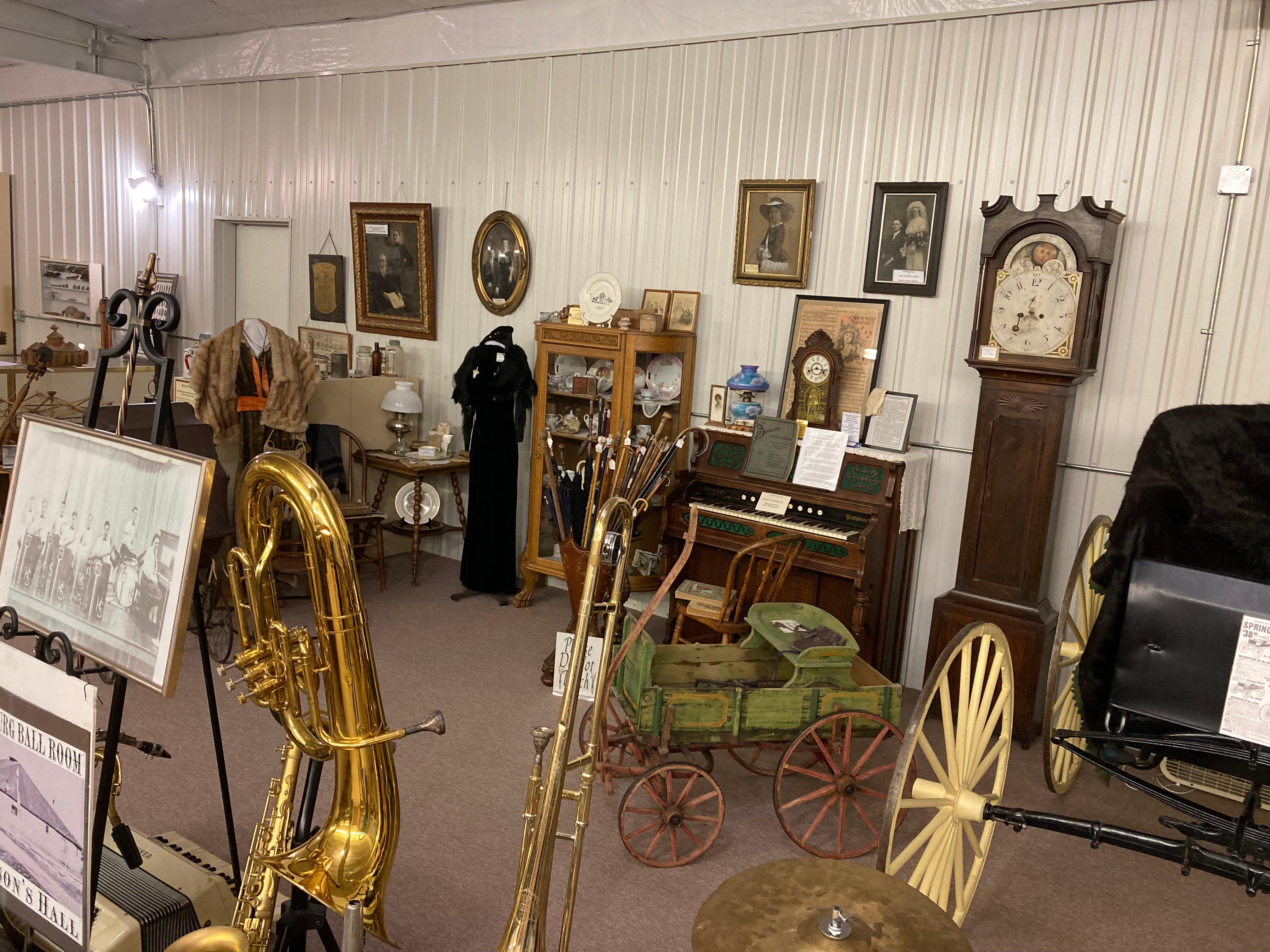
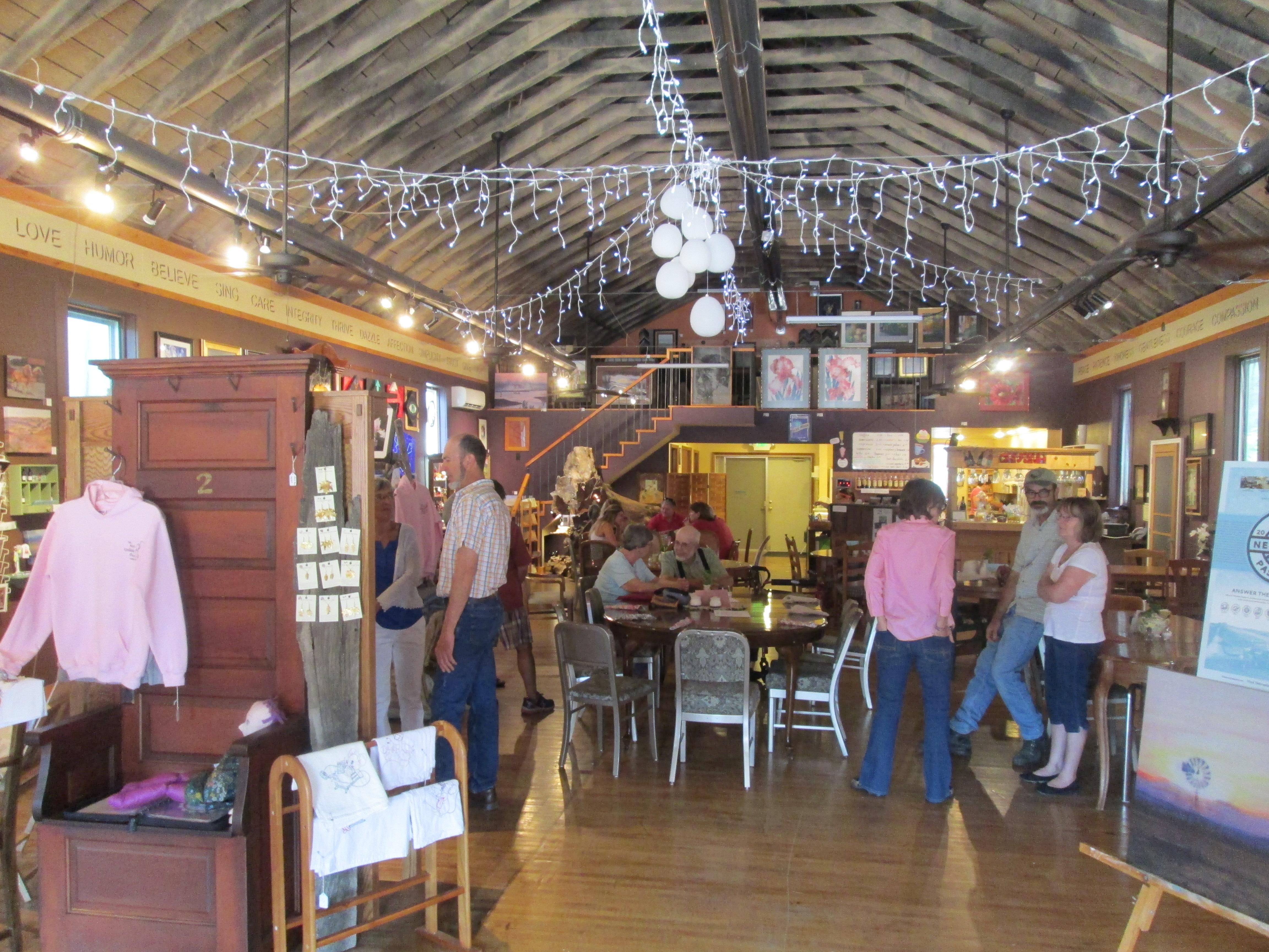
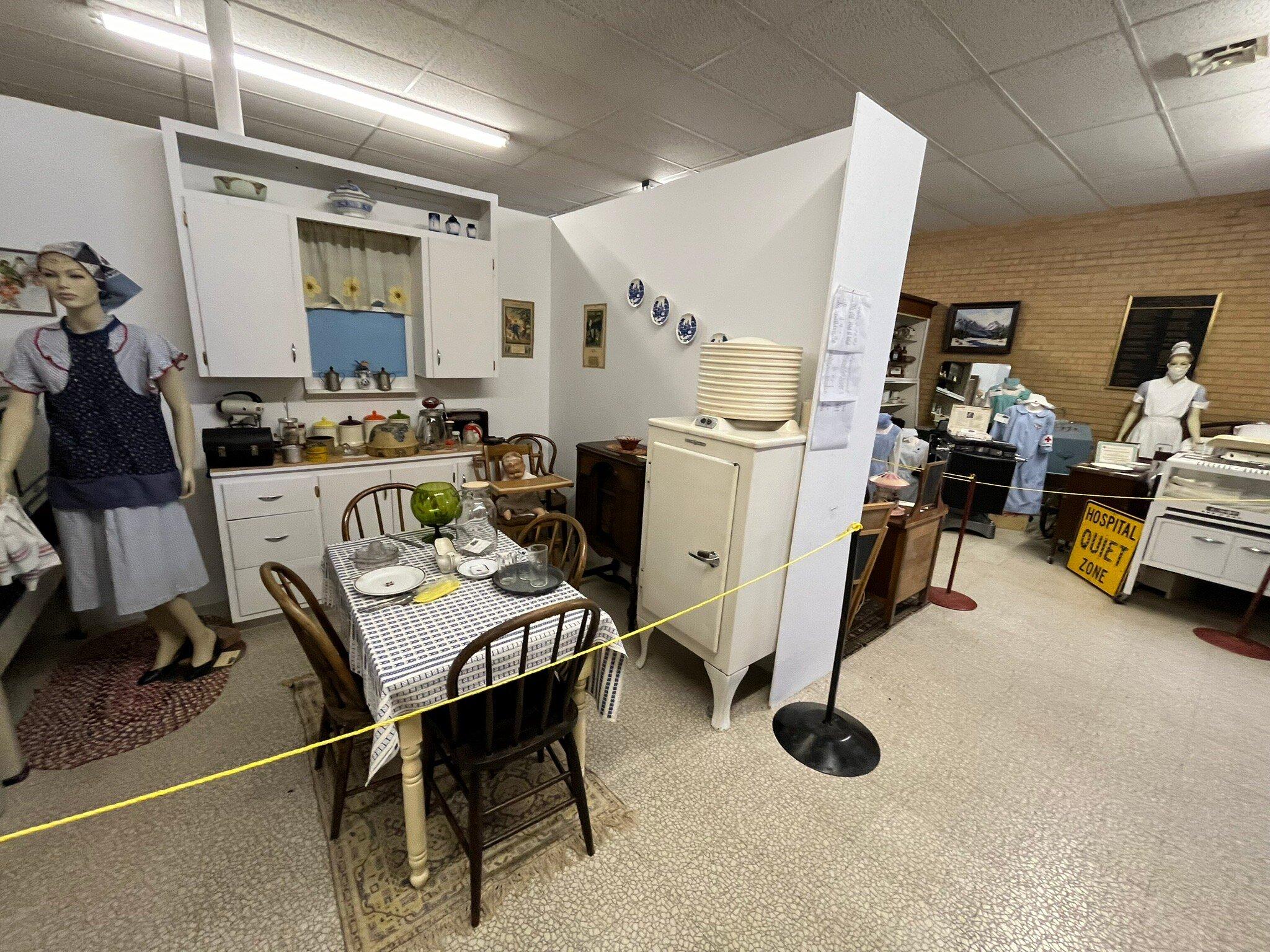
Julesburg, located in the northeastern corner of Colorado, is a town steeped in rich history and a strong sense of the Old West. Known as the "Gateway to the West," it played a pivotal role during the days of the Pony Express and was a crucial stop along the Overland Trail. This town has the distinction of being mentioned in the lyrics of the famous song "I've Been Everywhere," emphasizing its historical significance. The Fort Sedgwick Museum is a popular attraction that provides visitors with insights into the town's storied past, showcasing artifacts and exhibits related to the area's frontier days and its role in westward expansion.
For those interested in the scenic side of Julesburg, the nearby South Platte River offers opportunities for fishing, bird watching, and enjoying the natural beauty of the plains. The town also hosts various events throughout the year, such as the annual "Julesburg Dragstrip" races, which draw enthusiasts from around the region. The historical markers and the charming small-town atmosphere make Julesburg a unique stop for those traveling through Colorado, offering a blend of history, culture, and outdoor activities.
Nearby cities include: Ovid, CO, Big Springs, NE, Chappell, NE, Sedgwick, CO, Venango, NE, Brule, NE, Amherst, CO, Lodgepole, NE, Lewellen, NE, Holyoke, CO.
Places in Julesburg
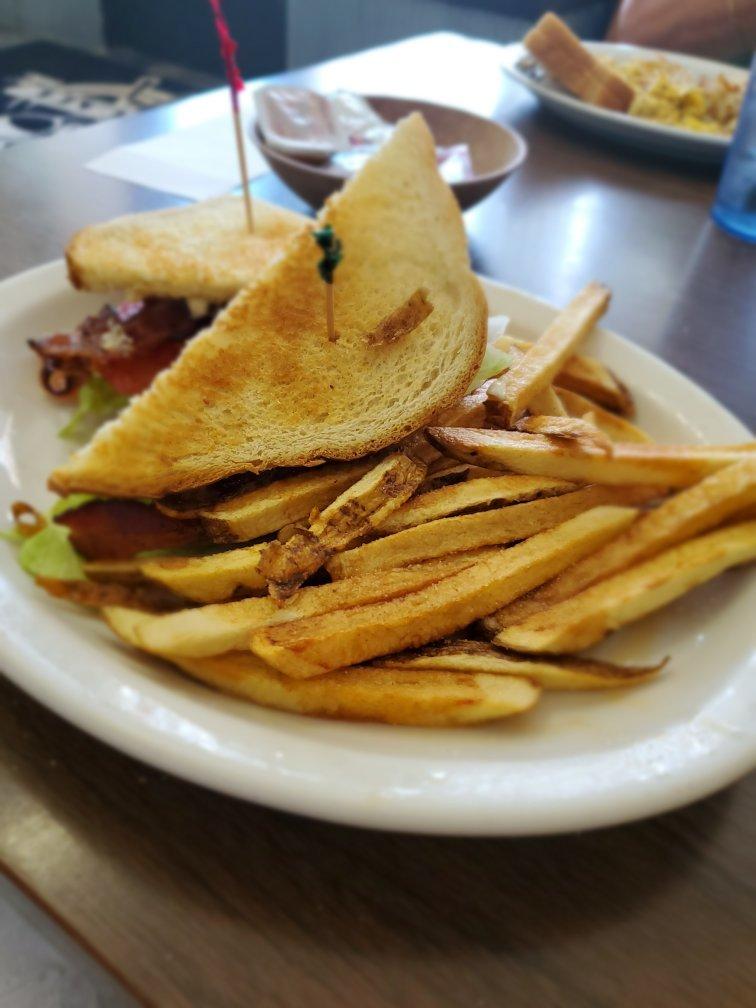
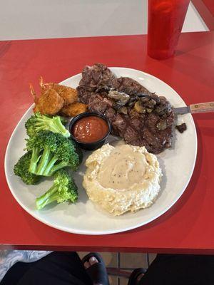
Dine and drink
Eat and drink your way through town.

Can't-miss activities
Culture, natural beauty, and plain old fun.
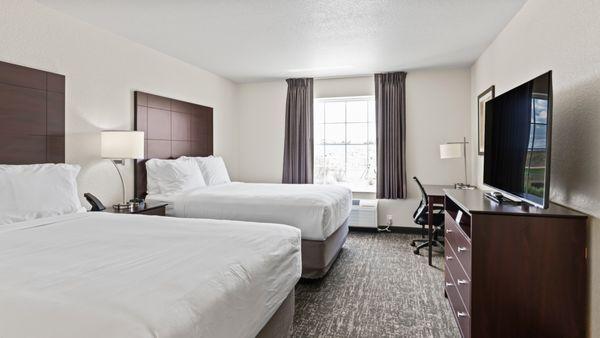
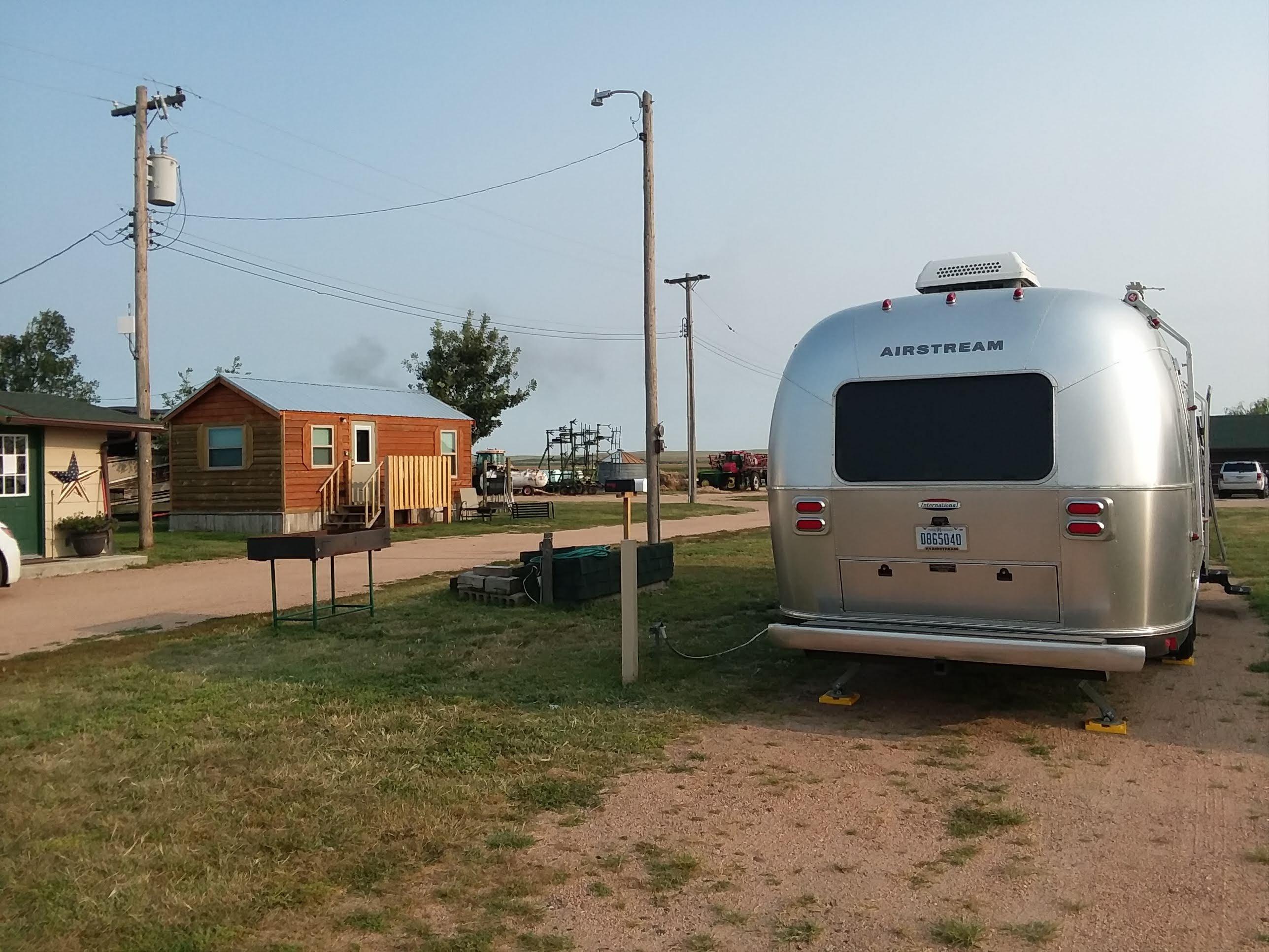
Places to stay
Hang your (vacation) hat in a place that’s just your style.

Advertisement