Verdi, CA
Advertisement
Verdi, CA Map
Verdi is a US city in Sierra County in the state of California. Located at the longitude and latitude of -120.048000, 39.509400 and situated at an elevation of 2,240 meters. In the 2020 United States Census, Verdi, CA had a population of 179 people. Verdi is in the Pacific Standard Time timezone at Coordinated Universal Time (UTC) -8. Find directions to Verdi, CA, browse local businesses, landmarks, get current traffic estimates, road conditions, and more.
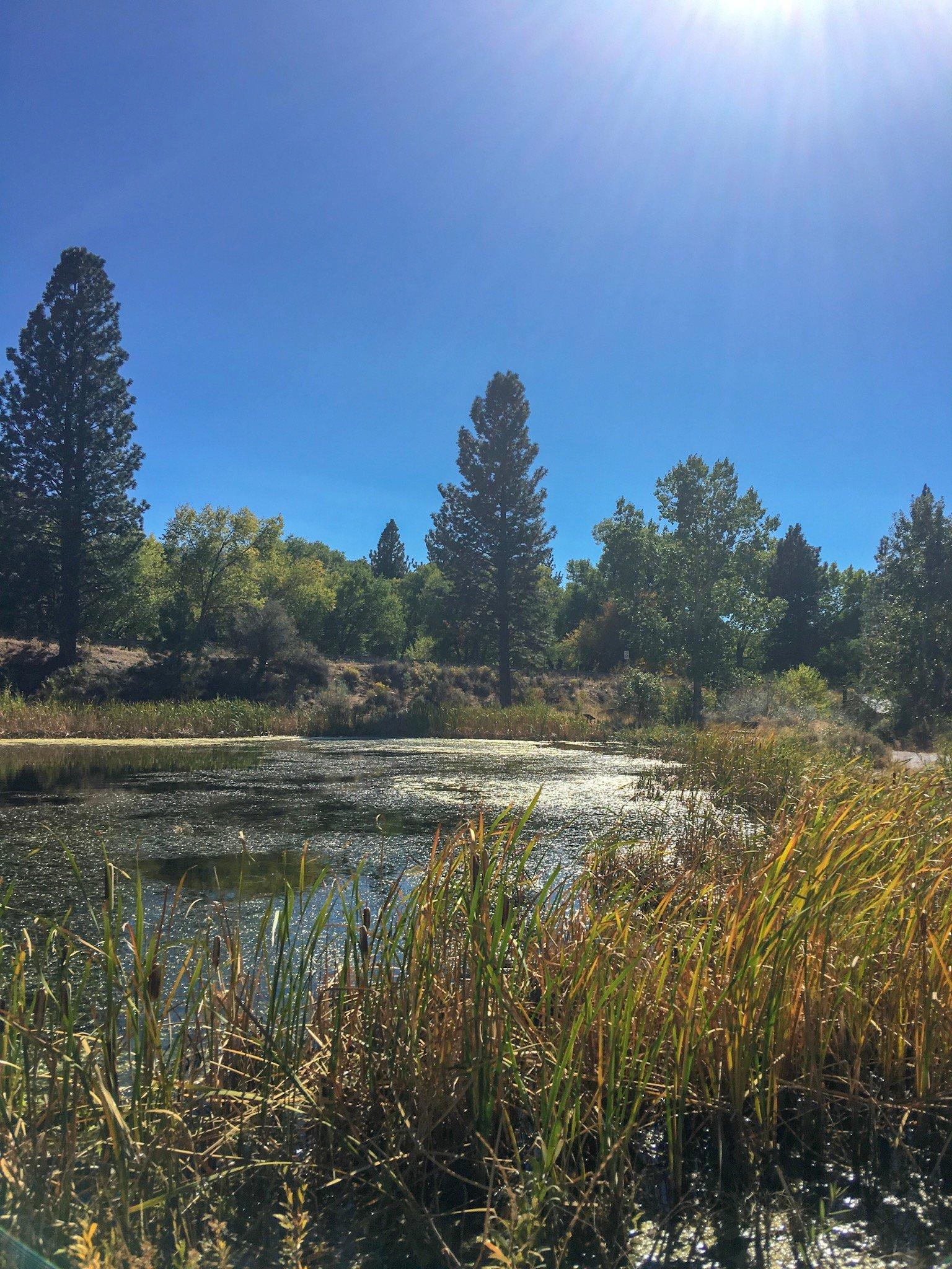
Verdi, located in the state of California, is a quaint and small community known for its serene natural landscapes and proximity to outdoor recreational activities. The city is nestled near the Sierra Nevada mountains, offering picturesque views and a peaceful atmosphere that attracts nature enthusiasts and those seeking a retreat from bustling urban life. Verdi is particularly popular for its access to hiking trails, fishing spots, and the Truckee River, which flows nearby, providing ample opportunities for kayaking and river rafting. Visitors often enjoy exploring the pristine wilderness that surrounds the area, making it a favored spot for camping and picnicking.
The history of Verdi is rooted in the era of the transcontinental railroad, with its development closely tied to the expansion of railroads in the 19th century. While the city itself has maintained a low profile compared to larger urban centers, it offers a glimpse into the historical significance of railroads in the American West. Although Verdi may not boast numerous tourist attractions, its charm lies in its simplicity and the natural beauty that surrounds it, making it an ideal destination for those looking to unwind and connect with nature. The community's close-knit feel and welcoming residents add to the appeal, ensuring a pleasant experience for those who venture to this hidden gem in California.
Nearby cities include: Verdi, NV, Floriston, CA, Cold Springs, NV, Reno, NV, Sierra Brooks, CA, Golden Valley, NV, Truckee, CA, Loyalton, CA, Sun Valley, NV, Sparks, NV.
Places in Verdi
Dine and drink
Eat and drink your way through town.
Can't-miss activities
Culture, natural beauty, and plain old fun.
Places to stay
Hang your (vacation) hat in a place that’s just your style.
Advertisement


