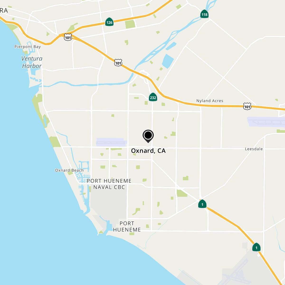
Oxnard, CA Map
Oxnard is a US city in Ventura County in the state of California. Located at the longitude and latitude of -119.182500, 34.191389 and situated at an elevation of 52 meters. In the 2020 United States Census, Oxnard, CA had a population of 202,063 people. Oxnard is in the Pacific Standard Time timezone at Coordinated Universal Time (UTC) -8. Find directions to Oxnard, CA, browse local businesses, landmarks, get current traffic estimates, road conditions, and more.
Oxnard, located in Southern California, is a coastal city renowned for its agricultural richness and beautiful beaches. Known as the "Strawberry Capital of the World," Oxnard hosts the annual California Strawberry Festival, which draws visitors from across the state. The city's fertile lands contribute significantly to its economy, producing a variety of crops that have been central to its identity. Historically, Oxnard was established in the late 19th century and named after the Oxnard brothers who built a sugar beet factory in the area, catalyzing its development. The city's diverse cultural heritage is reflected in its vibrant community and numerous cultural events.
Among Oxnard's popular attractions is the Channel Islands Harbor, offering opportunities for sailing, kayaking, and whale watching. The harbor is also home to a myriad of restaurants and shops, making it a lively spot for both locals and tourists. Oxnard State Beach and Park is another favorite, providing a scenic location for picnics and beach activities. For those interested in history, Heritage Square presents a collection of beautifully restored Victorian houses that offer a glimpse into the city's past. The Murphy Auto Museum is a must-visit for automobile enthusiasts, featuring an impressive collection of vintage cars. Overall, Oxnard's blend of natural beauty, historical significance, and cultural vibrancy makes it a noteworthy destination in California.
Nearby cities include: Port Hueneme, CA, El Rio, CA, Ventura, CA, Camarillo, CA, Somis, CA, Santa Paula, CA, Newbury Park, CA, Oak View, CA, Thousand Oaks, CA, Moorpark, CA.
Map of Oxnard, CA
