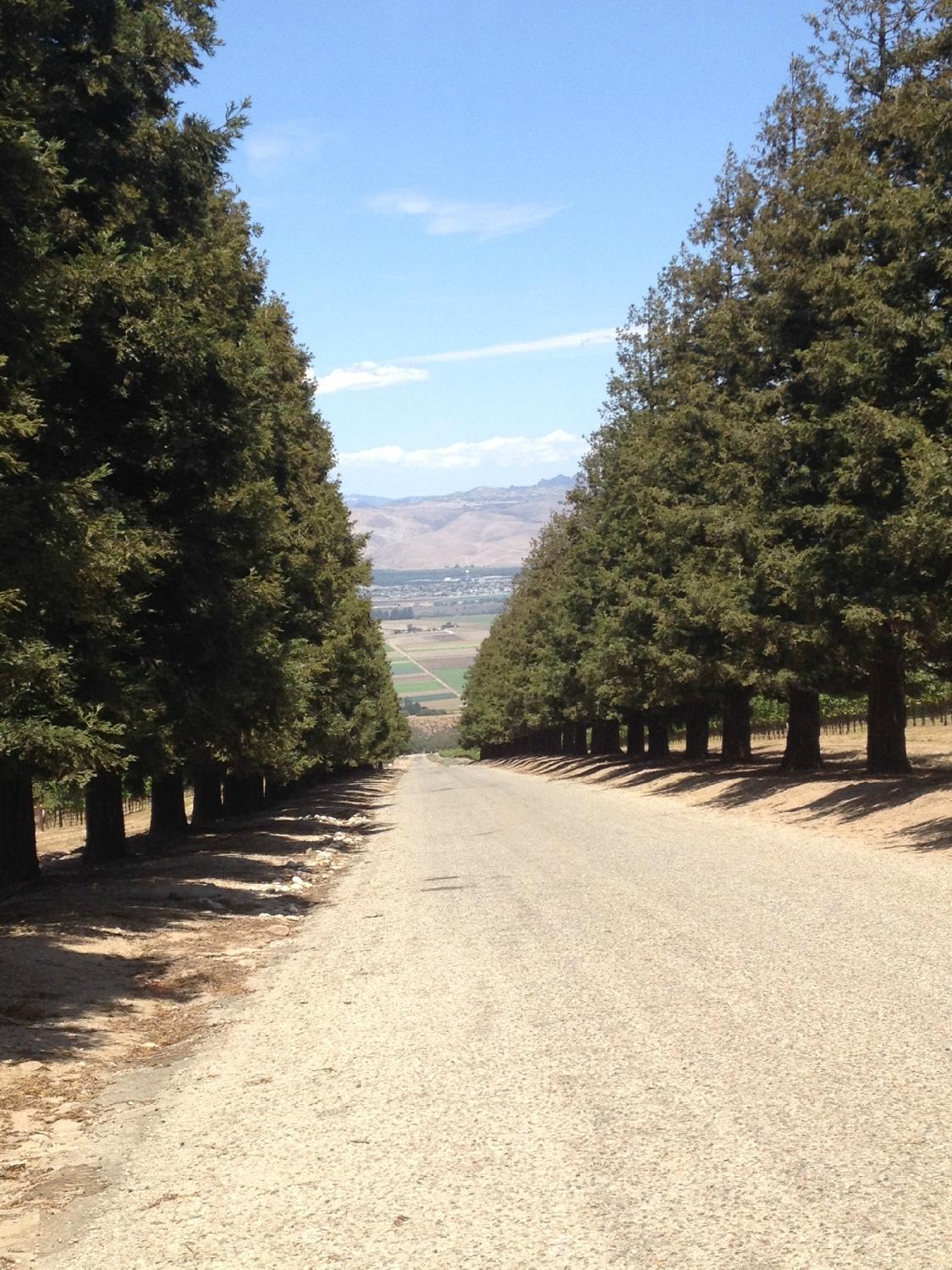
Soledad, CA
Advertisement
Soledad, CA Map
Soledad is a US city in Monterey County in the state of California. Located at the longitude and latitude of -121.326389, 36.424722 and situated at an elevation of 58 meters. In the 2020 United States Census, Soledad, CA had a population of 24,925 people. Soledad is in the Pacific Standard Time timezone at Coordinated Universal Time (UTC) -8. Find directions to Soledad, CA, browse local businesses, landmarks, get current traffic estimates, road conditions, and more.
Soledad, located in the heart of California, is a city known for its rich agricultural heritage and its proximity to the stunning Pinnacles National Park. The city is nestled in the Salinas Valley, an area renowned for its fertile soil and productive vineyards. Soledad plays host to a number of wineries and vineyards, which are a significant draw for visitors looking to experience the local wine scene. The agricultural vibe of the city is palpable, with fields stretching as far as the eye can see and a strong community of farmers and producers.
Historically, Soledad was founded as part of the Spanish mission system, with Mission Nuestra Señora de la Soledad established in 1791. The mission remains a key historical site, offering insights into the region's complex past. In addition to its historical and agricultural attractions, the city's proximity to Pinnacles National Park makes it a popular base for outdoor enthusiasts. The park is known for its unique rock formations, diverse wildlife, and excellent hiking trails. Soledad offers a quiet, small-town charm with a backdrop of scenic beauty and historical intrigue.
Nearby cities include: Greenfield, CA, Gonzales, CA, Chualar, CA, King City, CA, Pine Canyon, CA, Carmel Valley, CA, Tres Pinos, CA, Salinas, CA, San Lucas, CA, Hollister, CA.
Places in Soledad
Dine and drink
Eat and drink your way through town.
Can't-miss activities
Culture, natural beauty, and plain old fun.
Places to stay
Hang your (vacation) hat in a place that’s just your style.
Advertisement


