Sierra City, CA
Advertisement
Sierra City, CA Map
Sierra City is a US city in Sierra County in the state of California. Located at the longitude and latitude of -120.636944, 39.573333 and situated at an elevation of 5,407 meters. In the 2020 United States Census, Sierra City, CA had a population of 235 people. Sierra City is in the Pacific Standard Time timezone at Coordinated Universal Time (UTC) -8. Find directions to Sierra City, CA, browse local businesses, landmarks, get current traffic estimates, road conditions, and more.
Sierra City, nestled in the heart of California, is a quaint and captivating destination known for its rich history and stunning natural landscapes. This charming locale is a haven for outdoor enthusiasts, offering a plethora of activities such as hiking, fishing, and camping. One of the city's most renowned attractions is the majestic Sierra Buttes, a towering granite formation that provides breathtaking panoramic views for those who venture to its summit. Additionally, the North Yuba River meanders through the area, offering serene spots for picnicking and fishing, particularly famous for its trout.
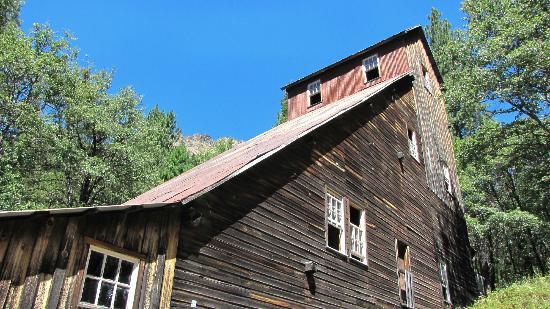
Sierra City's history is deeply rooted in the Gold Rush era, and visitors can catch a glimpse of this bygone time at the Kentucky Mine Historic Park and Museum. Here, one can explore well-preserved mining structures and learn about the gold mining techniques that once thrived in the region. The city also boasts a charming collection of historic buildings, with the Sierra City Hotel being a noteworthy mention, offering a glimpse into the architectural style of the late 19th century. Whether you're drawn by its historical allure or its natural beauty, Sierra City offers a peaceful retreat with a touch of adventure.
Nearby cities include: Downieville, CA, Calpine, CA, Clio, CA, Alleghany, CA, C-Road, CA, Goodyears Bar, CA, Sierraville, CA, Gold Mountain, CA, Mohawk Vista, CA, Washington, CA.
Places in Sierra City
Dine and drink
Eat and drink your way through town.
Can't-miss activities
Culture, natural beauty, and plain old fun.
Places to stay
Hang your (vacation) hat in a place that’s just your style.
Advertisement


