Lytle Creek, CA
Advertisement
Lytle Creek, CA Map
Lytle Creek is a US city in San Bernardino County in the state of California. Located at the longitude and latitude of -117.499167, 34.259167 and situated at an elevation of 3,419 meters. In the 2020 United States Census, Lytle Creek, CA had a population of 725 people. Lytle Creek is in the Pacific Standard Time timezone at Coordinated Universal Time (UTC) -8. Find directions to Lytle Creek, CA, browse local businesses, landmarks, get current traffic estimates, road conditions, and more.
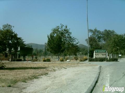
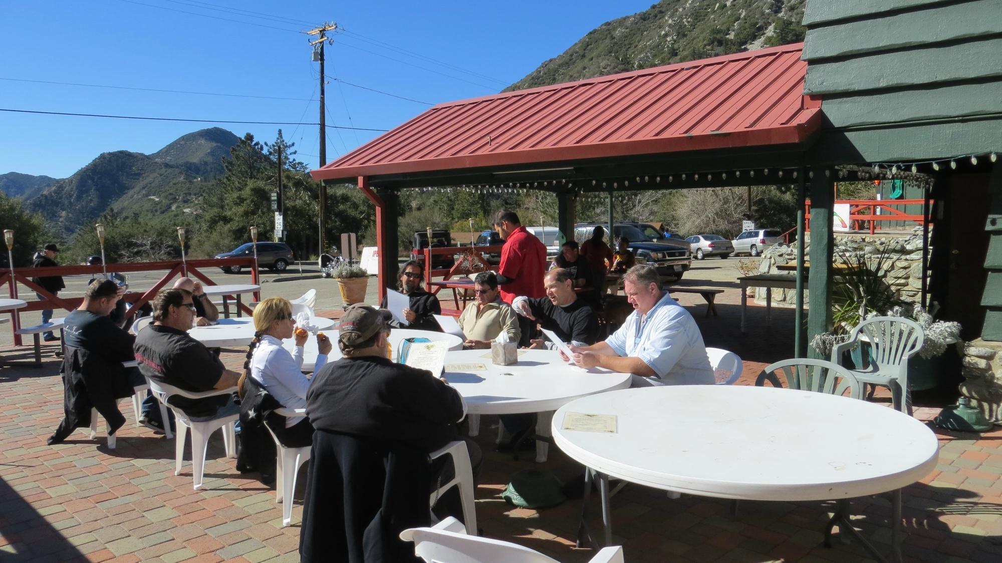
Lytle Creek, nestled in the San Gabriel Mountains of California, is a charming and rustic destination known for its natural beauty and outdoor recreational opportunities. This unincorporated community is renowned for its scenic landscapes, offering a serene escape from the hustle and bustle of urban life. Visitors are drawn to the area for its hiking trails, camping spots, and the Lytle Creek itself, which provides opportunities for fishing and picnicking along its banks. The rugged terrain and lush surroundings make it a popular spot for nature enthusiasts and those seeking a tranquil retreat.
The history of Lytle Creek is tied to its roots as a mining town during the California Gold Rush, with remnants of this era still visible in the form of old mining sites and equipment scattered throughout the area. Popular places within Lytle Creek include the Bonita Falls, a picturesque waterfall that is a favorite among hikers, and the Glen Helen Regional Park, which offers a variety of outdoor activities and is a great spot for family gatherings. The community's rustic charm and historical significance make it a unique destination for those interested in both nature and history.
Nearby cities include: Wrightwood, CA, Rancho Cucamonga, CA, Oak Hills, CA, Fontana, CA, Phelan, CA, Crestline, CA, Rialto, CA, Upland, CA, San Bernardino, CA, Bloomington, CA.
Places in Lytle Creek
Dine and drink
Eat and drink your way through town.
Can't-miss activities
Culture, natural beauty, and plain old fun.
Places to stay
Hang your (vacation) hat in a place that’s just your style.
Advertisement


