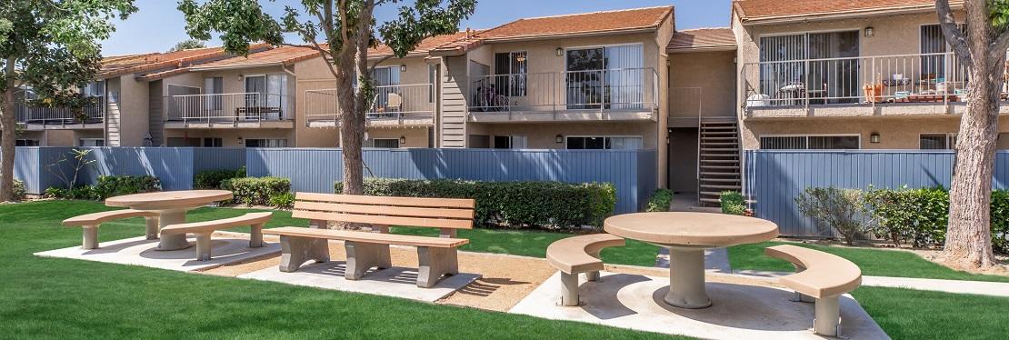
Loma Linda, CA
Advertisement
Loma Linda Map
Loma Linda (Spanish for Beautiful Hill) is a city in San Bernardino County, California, United States, that was incorporated in 1970. The population was 23,261 at the 2010 census, up from 18,681 at the 2000 census. The central area of the city was originally known as Mound City and its eastern half was known as Bryn Mawr.
Loma Linda is located in the San Bernardino Valley and is part of the Inland Empire. It is bordered on the north by San Bernardino, on the east by Redlands, on the west by Colton, and on the south by Riverside County. A small area of unincorporated territory separates Loma Linda from the city of Moreno Valley to the south.
The remnants of Bryn Mawr were annexed by the City in 2006.
Nearby cities include Fontana, Calimesa, Yucaipa, Crestline, Running Springs.
Places in Loma Linda
Dine and drink
Eat and drink your way through town.
Can't-miss activities
Culture, natural beauty, and plain old fun.
Places to stay
Hang your (vacation) hat in a place that’s just your style.
Advertisement


