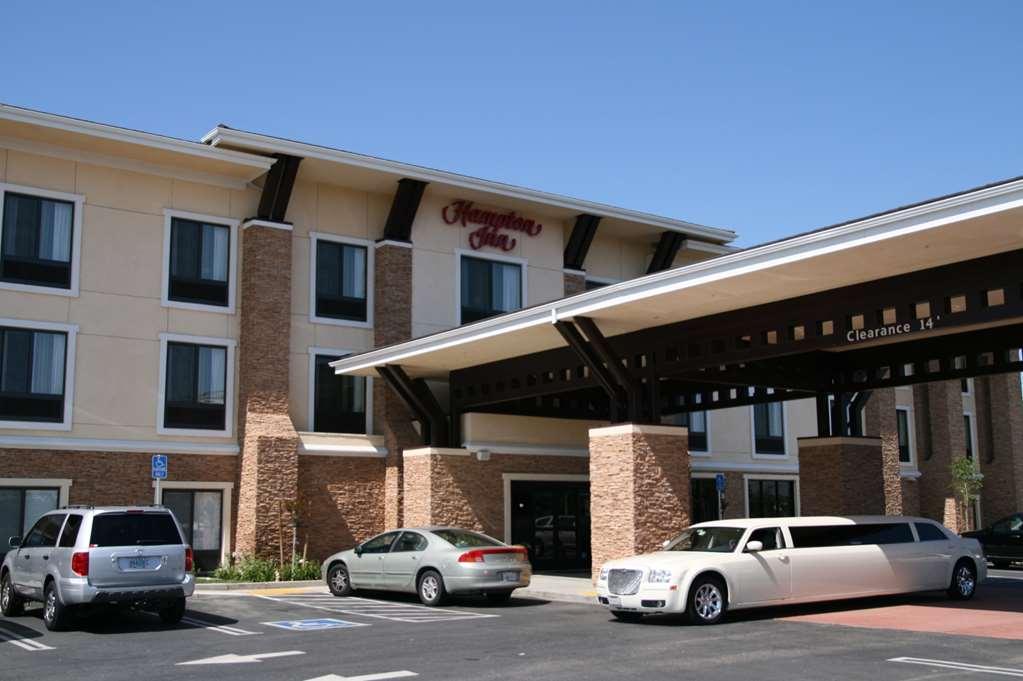
Knightsen, CA
Advertisement
Knightsen, CA Map
Knightsen is a US city in Contra Costa County in the state of California. Located at the longitude and latitude of -121.668056, 37.968889 and situated at an elevation of 30 meters. In the 2020 United States Census, Knightsen, CA had a population of 1,596 people. Knightsen is in the Pacific Standard Time timezone at Coordinated Universal Time (UTC) -8. Find directions to Knightsen, CA, browse local businesses, landmarks, get current traffic estimates, road conditions, and more.
Knightsen, located in California, is a small, unincorporated community that offers a glimpse into rural life in the Golden State. Known for its agricultural roots, Knightsen is surrounded by expansive farmlands and open spaces, making it a peaceful retreat from the hustle and bustle of urban life. Visitors and locals alike enjoy the serene landscapes and the opportunity to experience a slower pace in a region steeped in natural beauty.
While Knightsen itself may not boast a wide array of attractions, its charm lies in its simplicity and the opportunity to explore the countryside. The area is perfect for outdoor enthusiasts who appreciate activities such as birdwatching, hiking, and horseback riding. The community also hosts a number of local events and farmers' markets where one can enjoy fresh produce and artisanal goods. Knightsen's history is tied closely to its agricultural past, reflecting the broader narrative of California's development through farming and land cultivation.
Nearby cities include: Brentwood, CA, Oakley, CA, Bethel Island, CA, Discovery Bay, CA, Byron, CA, Antioch, CA, Pittsburg, CA, Rio Vista, CA, Isleton, CA, Clayton, CA.
Places in Knightsen
Dine and drink
Eat and drink your way through town.
Can't-miss activities
Culture, natural beauty, and plain old fun.
Places to stay
Hang your (vacation) hat in a place that’s just your style.
Advertisement


