Homeland, CA
Advertisement
Homeland, CA Map
Homeland is a US city in Riverside County in the state of California. Located at the longitude and latitude of -117.113060, 33.741670 and situated at an elevation of 489 meters. In the 2020 United States Census, Homeland, CA had a population of 6,772 people. Homeland is in the Pacific Standard Time timezone at Coordinated Universal Time (UTC) -8. Find directions to Homeland, CA, browse local businesses, landmarks, get current traffic estimates, road conditions, and more.
Homeland, nestled in the state of California, is a quaint and unassuming locale that offers a glimpse into a peaceful suburban lifestyle. Known primarily for its serene residential areas, the city provides a quiet escape from the bustling urban centers. Homeland is characterized by its community-centric vibe, marked by local parks and small businesses that contribute to its tight-knit atmosphere. The area is particularly appreciated for its proximity to scenic landscapes, making it a suitable spot for those who enjoy outdoor activities such as hiking and picnicking.
Historically, Homeland has roots that trace back to its development in the early 20th century, when it began as a modest settlement. Over the years, it has retained much of its original charm while gradually embracing modern conveniences. Popular spots within the city include local eateries and community centers where residents often gather for events and social activities. The city's understated allure lies in its simplicity and the genuine warmth of its community, making Homeland a unique place to visit for those seeking a peaceful retreat.
Nearby cities include: Green Acres, CA, Winchester, CA, Nuevo, CA, Menifee, CA, Perris, CA, Hemet, CA, San Jacinto, CA, Canyon Lake, CA, Good Hope, CA, Meadowbrook, CA.
Places in Homeland
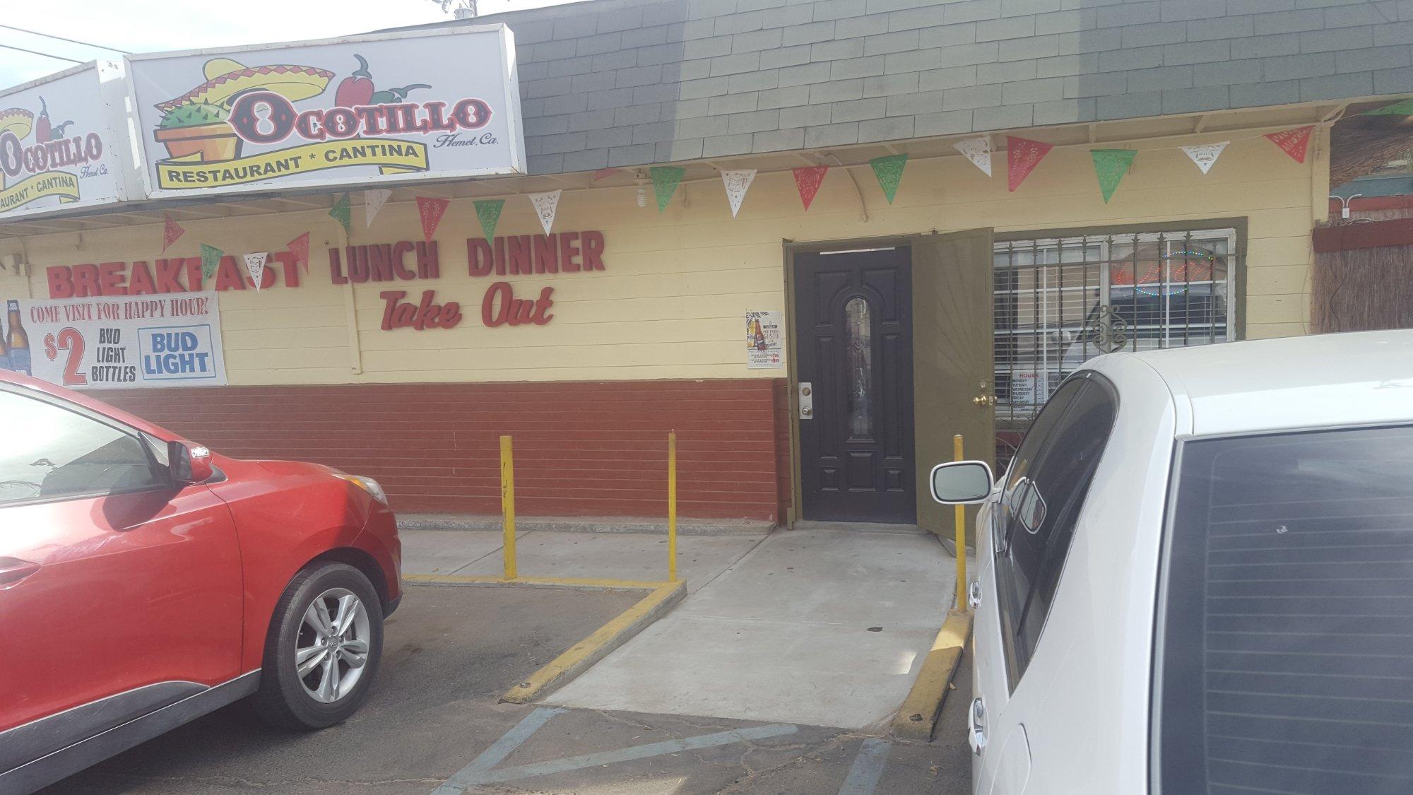
Dine and drink
Eat and drink your way through town.
Can't-miss activities
Culture, natural beauty, and plain old fun.
Places to stay
Hang your (vacation) hat in a place that’s just your style.
Advertisement


