Fillmore, CA
Advertisement
Fillmore, CA Map
Fillmore is a US city in Ventura County in the state of California. Located at the longitude and latitude of -118.917778, 34.401389 and situated at an elevation of 456 meters. In the 2020 United States Census, Fillmore, CA had a population of 16,419 people. Fillmore is in the Pacific Standard Time timezone at Coordinated Universal Time (UTC) -8. Find directions to Fillmore, CA, browse local businesses, landmarks, get current traffic estimates, road conditions, and more.
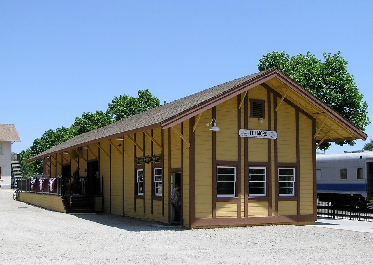
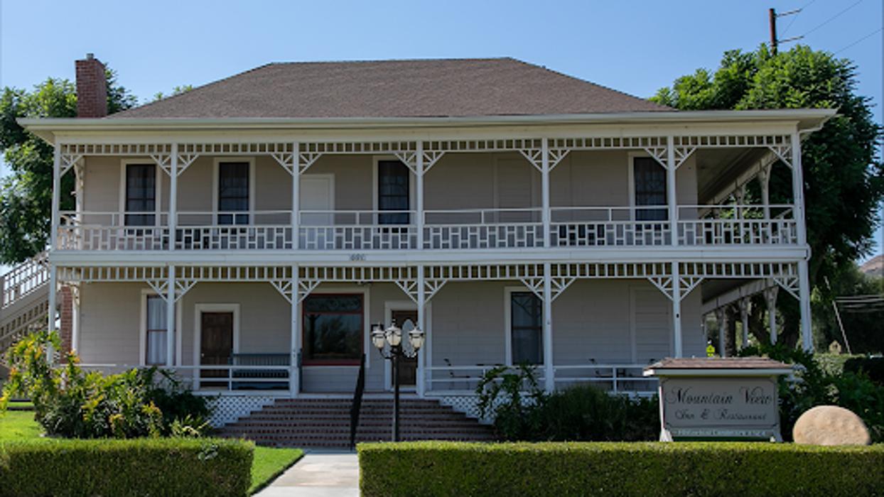
Fillmore, located in the heart of Southern California, is a charming small city known for its rich agricultural heritage and scenic beauty. The city is renowned for its historic downtown area, which offers a glimpse into early 20th-century architecture and small-town charm. Fillmore is famously home to the Fillmore & Western Railway, where visitors can enjoy train rides through picturesque landscapes, often themed for special occasions like holiday events and murder mystery dinners. The city is surrounded by citrus groves and avocado orchards, reflecting its strong ties to farming and agriculture.
Historically, Fillmore was established in the late 19th century, following the arrival of the Southern Pacific Railroad, which played a significant role in its development. The Fillmore Historical Museum provides insights into the city's past, housing artifacts and exhibits that chronicle the area's evolution over the decades. Additionally, Fillmore is known for its local festivals and events, such as the Fillmore Flower Show and the May Festival, which celebrate the community spirit and local traditions. Whether exploring its historical sites, enjoying the scenic train rides, or participating in community events, Fillmore offers a unique blend of history, culture, and natural beauty.
Nearby cities include: Piru, CA, Moorpark, CA, Santa Paula, CA, Somis, CA, Simi Valley, CA, Camarillo, CA, Thousand Oaks, CA, Newbury Park, CA, Val Verde, CA, Castaic, CA.
Places in Fillmore
Dine and drink
Eat and drink your way through town.
Can't-miss activities
Culture, natural beauty, and plain old fun.
Places to stay
Hang your (vacation) hat in a place that’s just your style.
Advertisement


