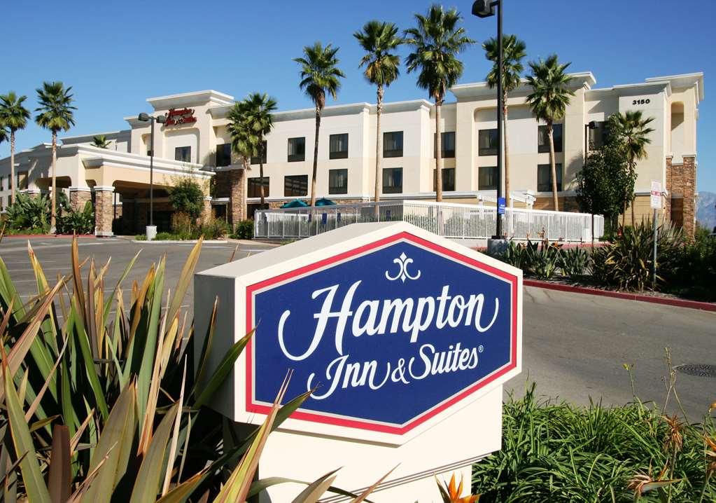
Chino Hills, CA
Advertisement
Chino Hills, CA Map
Chino Hills is a US city in San Bernardino County in the state of California. Located at the longitude and latitude of -117.750000, 33.970000 and situated at an elevation of 262 meters. In the 2020 United States Census, Chino Hills, CA had a population of 78,411 people. Chino Hills is in the Pacific Standard Time timezone at Coordinated Universal Time (UTC) -8. Find directions to Chino Hills, CA, browse local businesses, landmarks, get current traffic estimates, road conditions, and more.
Chino Hills, located in the southwestern corner of California, is a suburban city known for its picturesque landscapes and family-friendly atmosphere. The city is particularly famous for its extensive network of parks and trails, offering a haven for outdoor enthusiasts. One of the most popular spots is Chino Hills State Park, a sprawling natural area that provides hiking, biking, and equestrian trails with sweeping views of the surrounding terrain. The city also boasts the Shoppes at Chino Hills, an outdoor lifestyle center that combines shopping, dining, and entertainment, making it a central hub for both locals and visitors.
Historically, Chino Hills has roots that trace back to its days as a ranching and dairy farming community. Over the years, it has evolved into a thriving suburb while still maintaining a sense of its pastoral past. This balance of growth and preservation is reflected in its well-maintained residential areas and community-oriented events. The city is also known for hosting the annual Chino Hills Day at the Los Angeles County Fair, which celebrates its heritage and community spirit. With its blend of natural beauty and modern amenities, Chino Hills offers a unique slice of suburban life in Southern California.
Nearby cities include: Diamond Bar, CA, Chino, CA, Pomona, CA, Yorba Linda, CA, Montclair, CA, Walnut, CA, Rowland Heights, CA, Placentia, CA, Brea, CA, Ontario, CA.
Places in Chino Hills
Dine and drink
Eat and drink your way through town.
Can't-miss activities
Culture, natural beauty, and plain old fun.
Places to stay
Hang your (vacation) hat in a place that’s just your style.
Advertisement


