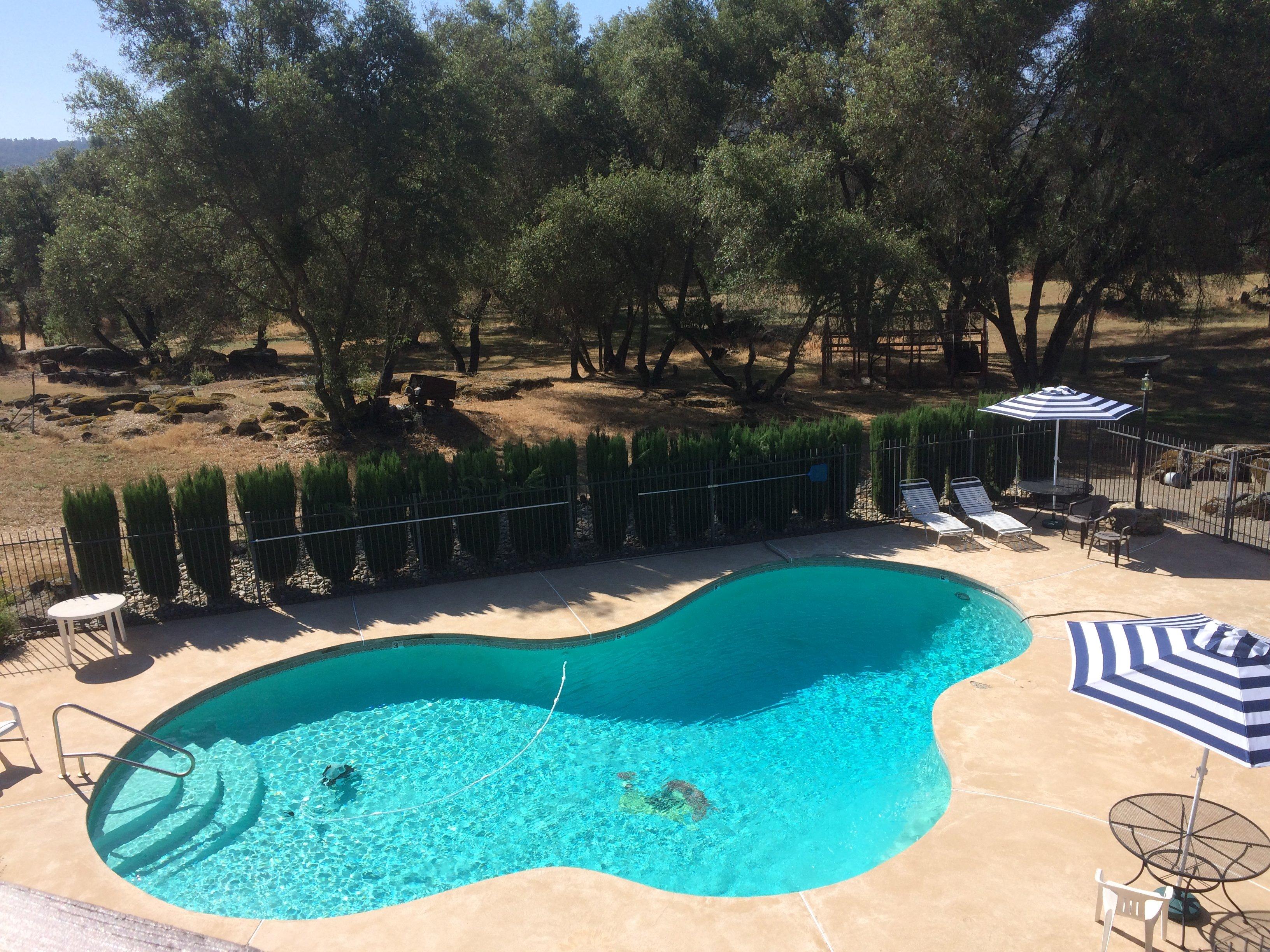
Catheys Valley, CA
Advertisement
Catheys Valley, CA Map
Catheys Valley is a US city in Mariposa County in the state of California. Located at the longitude and latitude of -120.098056, 37.432500 and situated at an elevation of 404 meters. In the 2020 United States Census, Catheys Valley, CA had a population of 829 people. Catheys Valley is in the Pacific Standard Time timezone at Coordinated Universal Time (UTC) -8. Find directions to Catheys Valley, CA, browse local businesses, landmarks, get current traffic estimates, road conditions, and more.
Catheys Valley, California, is a quaint and picturesque locale known for its serene landscapes and a touch of Old West charm. This small community offers a peaceful retreat with rolling hills, expansive ranchlands, and a collection of historic sites that harken back to its roots as a 19th-century stagecoach stop. The area is particularly noted for its stunning springtime wildflower displays, which paint the fields with vibrant colors, drawing nature enthusiasts and photographers alike. Visitors often explore the Catheys Valley Park, which provides opportunities for picnicking and leisurely walks, making it an ideal spot for families and outdoor lovers.
Historically, Catheys Valley has been an agricultural hub, with its fertile grounds supporting cattle ranching and farming ventures over the years. This heritage is celebrated through various local events and community gatherings that embrace the valley's rural lifestyle. While it may not boast the bustling attractions of larger cities, Catheys Valley is a gateway to the Sierra Nevada foothills, offering a tranquil escape and a glimpse into California's rustic past. Its proximity to major natural attractions makes it a convenient stop for those seeking to explore the broader region's natural beauty.
Nearby cities include: Mariposa, CA, Hornitos, CA, Midpines, CA, Planada, CA, Le Grand, CA, Snelling, CA, Coulterville, CA, Ahwahnee, CA, Merced, CA, Chowchilla, CA.
Places in Catheys Valley
Dine and drink
Eat and drink your way through town.
Can't-miss activities
Culture, natural beauty, and plain old fun.
Places to stay
Hang your (vacation) hat in a place that’s just your style.
Advertisement


