Buttonwillow, CA
Advertisement
Buttonwillow, CA Map
Buttonwillow is a US city in Kern County in the state of California. Located at the longitude and latitude of -119.469444, 35.400556 and situated at an elevation of 82 meters. In the 2020 United States Census, Buttonwillow, CA had a population of 1,337 people. Buttonwillow is in the Pacific Standard Time timezone at Coordinated Universal Time (UTC) -8. Find directions to Buttonwillow, CA, browse local businesses, landmarks, get current traffic estimates, road conditions, and more.
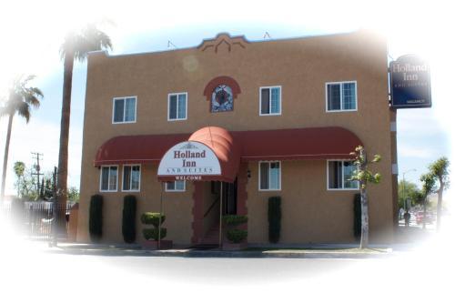
Buttonwillow, California, is a small yet notable community primarily recognized for its role as a convenient stopover for travelers journeying along Interstate 5. It is a quintessential pit stop, offering a range of services aimed at road trippers and truckers, including gas stations, fast-food outlets, and motels. Among its most famous landmarks is the Buttonwillow Tree, a historic cottonwood tree that once served as a meeting point for local Native American tribes and early settlers. This tree is so integral to the area's identity that it inspired the town's name.
While Buttonwillow may not boast a plethora of traditional tourist attractions, it is home to the Buttonwillow Raceway Park, a popular venue for motorsport enthusiasts. This raceway hosts numerous automotive events and track days throughout the year, drawing participants and spectators from across the region. Additionally, the town is surrounded by vast agricultural lands, providing visitors with a glimpse of California's rich farming industry. Buttonwillow's charm lies in its simplicity and its role as a restful pause in the midst of long journeys.
Nearby cities include: Tupman, CA, McKittrick, CA, Shafter, CA, Wasco, CA, Fellows, CA, Taft, CA, Rosedale, CA, Lost Hills, CA, Greenacres, CA, McFarland, CA.
Places in Buttonwillow
Dine and drink
Eat and drink your way through town.
Can't-miss activities
Culture, natural beauty, and plain old fun.
Places to stay
Hang your (vacation) hat in a place that’s just your style.
Advertisement


