Buellton, CA
Advertisement
Buellton, CA Map
Buellton is a US city in Santa Barbara County in the state of California. Located at the longitude and latitude of -120.193889, 34.614167 and situated at an elevation of 358 meters. In the 2020 United States Census, Buellton, CA had a population of 5,161 people. Buellton is in the Pacific Standard Time timezone at Coordinated Universal Time (UTC) -8. Find directions to Buellton, CA, browse local businesses, landmarks, get current traffic estimates, road conditions, and more.
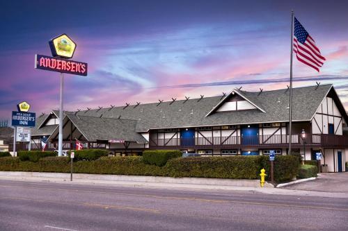
Buellton, located in California, is best known for its charming small-town appeal and its reputation as a gateway to the Santa Ynez Valley wine country. This city gained notoriety as the home of the original Pea Soup Andersen's, a restaurant that has been serving travelers since 1924 with its famous split pea soup. The city also boasts a rich history tied to the early days of California's road travel, as it was a strategic stop along the historic U.S. Route 101.
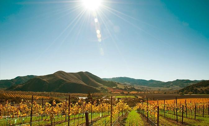
Visitors to Buellton can explore the local wine scene with numerous wineries and tasting rooms, such as Firestone Vineyard and Alma Rosa Winery, offering a taste of the region's acclaimed varietals. Additionally, the area is known for its outdoor recreational opportunities, with the nearby Santa Ynez River and a variety of hiking trails providing scenic exploration options. Buellton also hosts several annual events, such as the Buellton Wine and Chili Festival, which draws crowds with its unique blend of local flavors and entertainment.
Nearby cities include: Solvang, CA, Los Olivos, CA, Santa Ynez, CA, Los Alamos, CA, Lompoc, CA, Isla Vista, CA, Casmalia, CA, Goleta, CA, Santa Maria, CA, Santa Barbara, CA.
Places in Buellton
Dine and drink
Eat and drink your way through town.
Can't-miss activities
Culture, natural beauty, and plain old fun.
Places to stay
Hang your (vacation) hat in a place that’s just your style.
Advertisement


