Angels Camp, CA
Advertisement
Angels Camp, CA Map
Angels Camp is a US city in Calaveras County in the state of California. Located at the longitude and latitude of -120.539722, 38.068333 and situated at an elevation of 1,378 meters. In the 2020 United States Census, Angels Camp, CA had a population of 3,836 people. Angels Camp is in the Pacific Standard Time timezone at Coordinated Universal Time (UTC) -8. Find directions to Angels Camp, CA, browse local businesses, landmarks, get current traffic estimates, road conditions, and more.
Angels Camp, nestled in the Sierra Nevada foothills of California, is a city steeped in Gold Rush history and is famously known as the "Home of the Jumping Frog," a nod to Mark Twain's short story "The Celebrated Jumping Frog of Calaveras County." This charming city celebrates its unique heritage with the annual Calaveras County Fair and Jumping Frog Jubilee, drawing visitors from far and wide to witness the quirky frog-jumping contests. The city's historic downtown area offers a glimpse into its past with well-preserved 19th-century architecture, quaint shops, and local eateries that provide a taste of small-town charm.
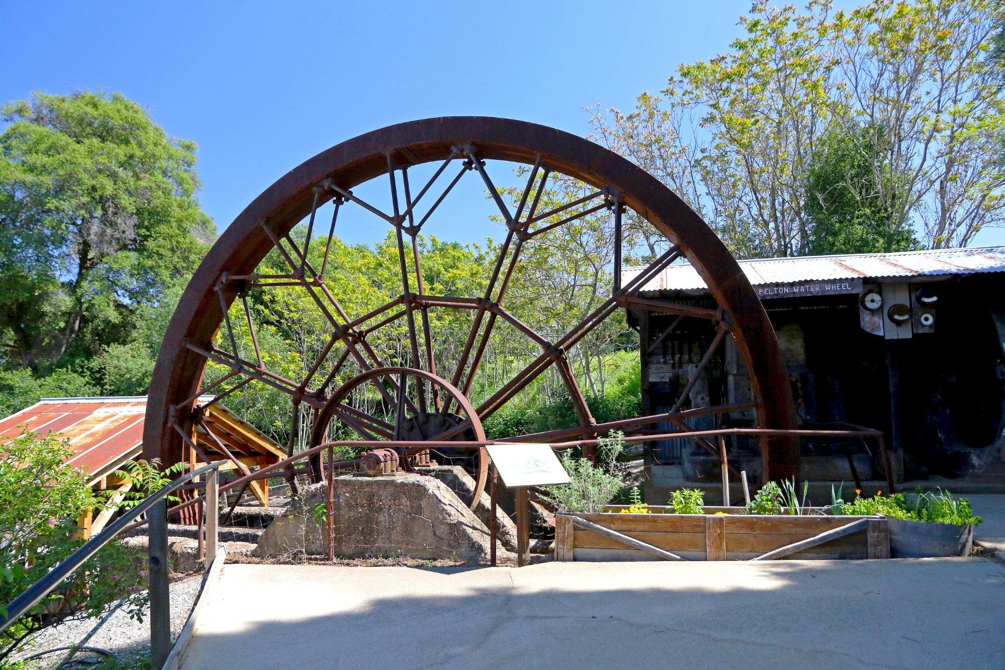
Among the popular attractions in Angels Camp is the Angels Camp Museum, which showcases an extensive collection of mining artifacts, carriages, and ranching equipment, providing insight into the area's rich history. Outdoor enthusiasts can explore the surrounding natural beauty, with New Melones Lake offering opportunities for boating, fishing, and hiking. Additionally, the city serves as a gateway to the scenic splendors of the Sierra Nevada, making it an ideal starting point for those looking to explore the nearby national parks and forests. Whether you're a history buff or an adventure seeker, Angels Camp offers a delightful blend of cultural heritage and outdoor activities.
Nearby cities include: Vallecito, CA, Murphys, CA, Columbia, CA, Copperopolis, CA, Sonora, CA, Jamestown, CA, Mountain Ranch, CA, San Andreas, CA, Avery, CA, Phoenix Lake, CA.
Places in Angels Camp
Dine and drink
Eat and drink your way through town.
Can't-miss activities
Culture, natural beauty, and plain old fun.
Places to stay
Hang your (vacation) hat in a place that’s just your style.
Advertisement


