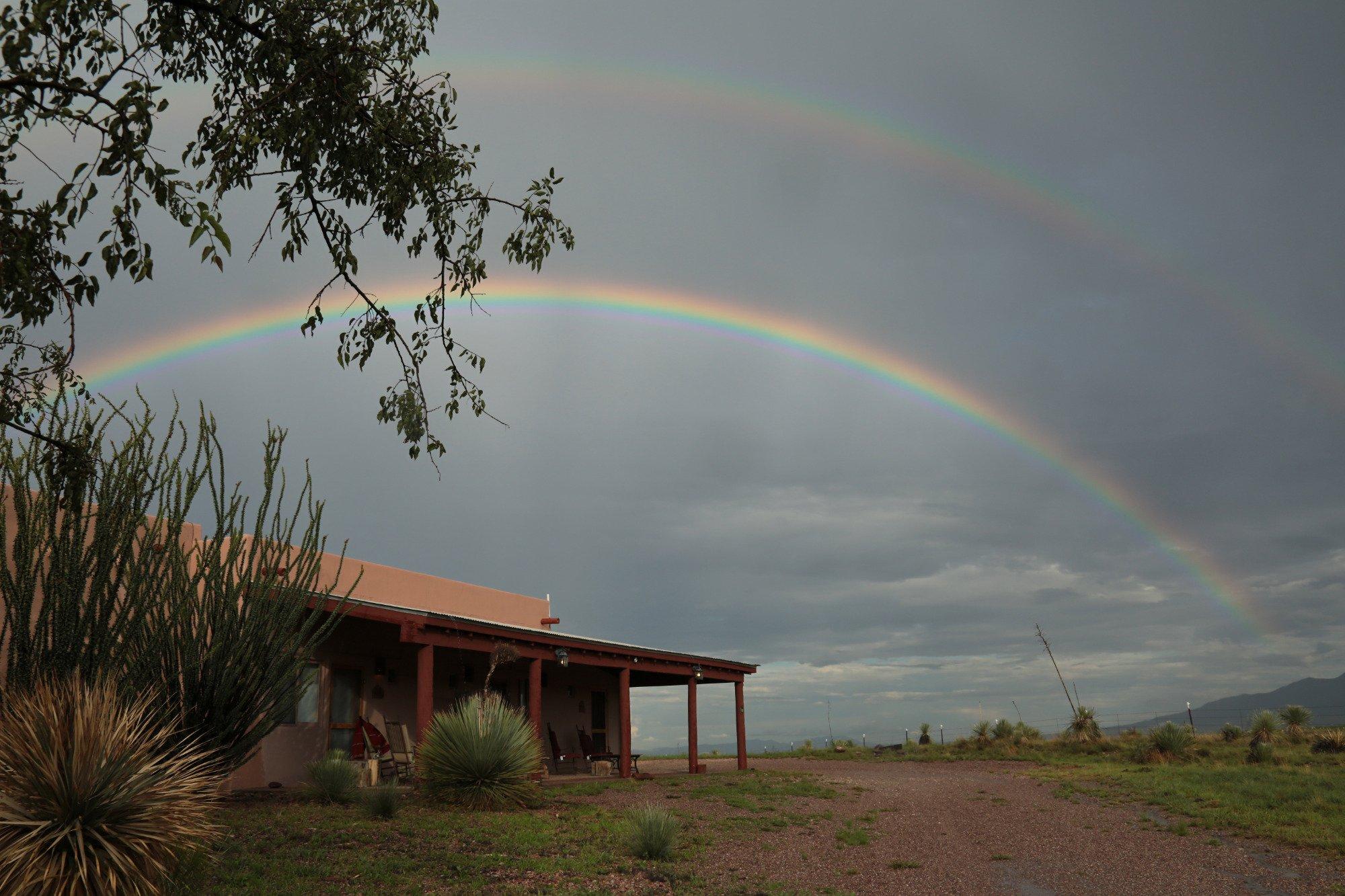
Sonoita, AZ
Advertisement
Sonoita, AZ Map
Sonoita is a US city in Santa Cruz County in the state of Arizona. Located at the longitude and latitude of -110.654000, 31.668900 and situated at an elevation of 1,489 meters. In the 2020 United States Census, Sonoita, AZ had a population of 803 people. Sonoita is in the Mountain Standard Time timezone at Coordinated Universal Time (UTC) -7. Find directions to Sonoita, AZ, browse local businesses, landmarks, get current traffic estimates, road conditions, and more.
Sonoita, located in the southern part of Arizona, is renowned for its picturesque landscapes and burgeoning wine industry. The town is nestled in a high desert grassland, surrounded by the Santa Rita, Huachuca, and Mustang Mountains, which provide a striking backdrop for outdoor enthusiasts and photographers alike. Sonoita is a key player in Arizona's wine country, with numerous vineyards and wineries offering tasting rooms and tours, making it a favored destination for wine lovers. Among the popular wineries are Sonoita Vineyards, the oldest commercial vineyard and winery in Arizona, and the award-winning Dos Cabezas WineWorks. These establishments not only offer a taste of local viticulture but also host various events throughout the year, including wine festivals and harvest celebrations.
Aside from its wine fame, Sonoita has a rich history and a vibrant equestrian culture. It is home to the historic Empire Ranch, a testament to the region’s ranching heritage, which now serves as a museum and a site for community events such as the annual Cowboy Festival. The town's history is deeply intertwined with the development of ranching and agriculture in Arizona, offering a glimpse into the past with its preserved historic buildings and landscapes. For those interested in outdoor activities, the nearby Coronado National Forest offers hiking, bird watching, and horseback riding opportunities, making Sonoita a versatile destination for both relaxation and adventure.
Nearby cities include: Elgin, AZ, Patagonia, AZ, Whetstone, AZ, Huachuca City, AZ, Corona de Tucson, AZ, Rio Rico, AZ, Pimaco Two, AZ, Vail, AZ, Tubac, AZ, Sierra Vista, AZ.
Places in Sonoita
Dine and drink
Eat and drink your way through town.
Can't-miss activities
Culture, natural beauty, and plain old fun.
Places to stay
Hang your (vacation) hat in a place that’s just your style.
Advertisement


