Rio Verde, AZ
Advertisement
Rio Verde, AZ Map
Rio Verde is a US city in Maricopa County in the state of Arizona. Located at the longitude and latitude of -111.677000, 33.722200 and situated at an elevation of 493 meters. In the 2020 United States Census, Rio Verde, AZ had a population of 2,210 people. Rio Verde is in the Mountain Standard Time timezone at Coordinated Universal Time (UTC) -7. Find directions to Rio Verde, AZ, browse local businesses, landmarks, get current traffic estimates, road conditions, and more.
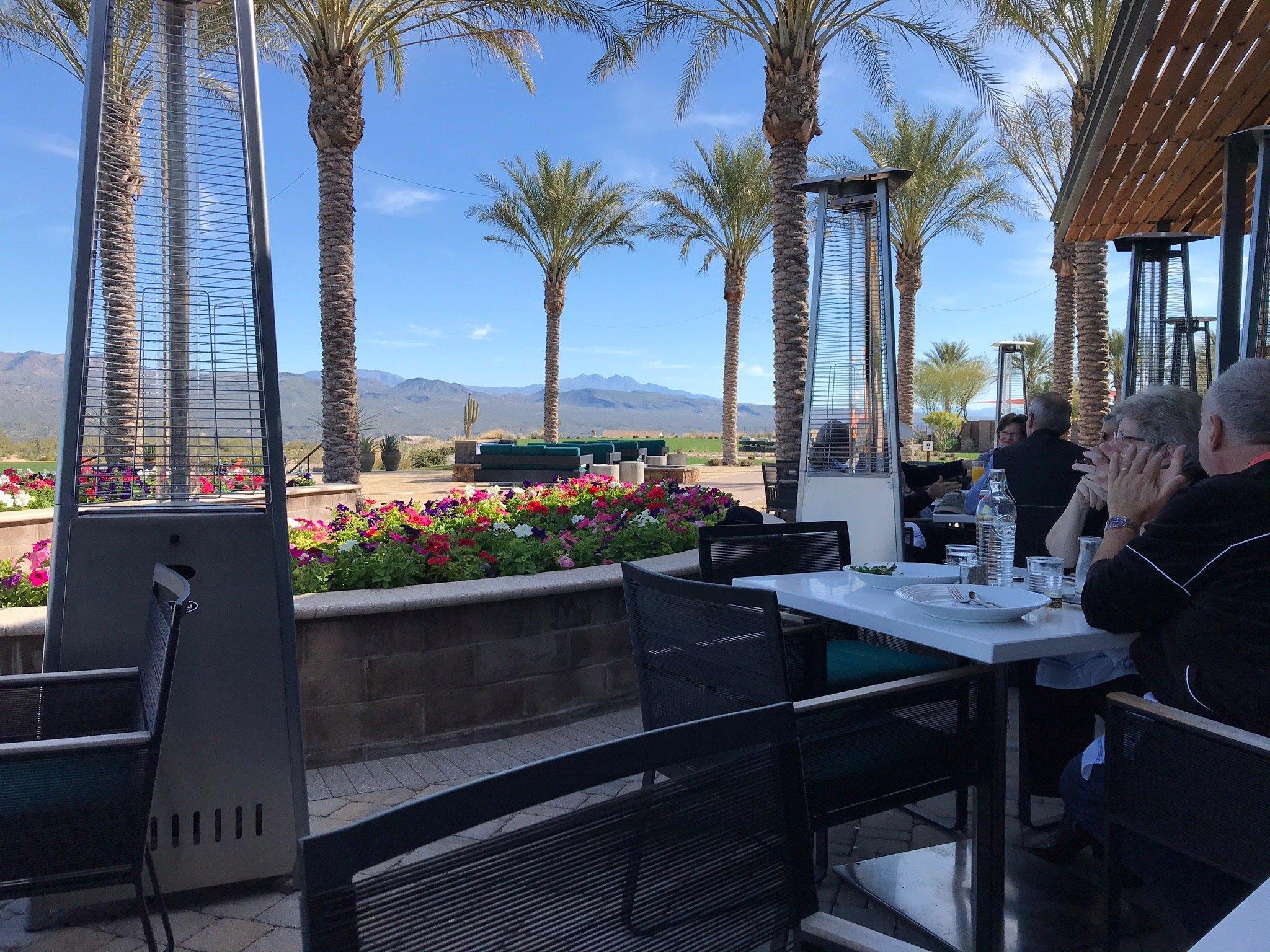
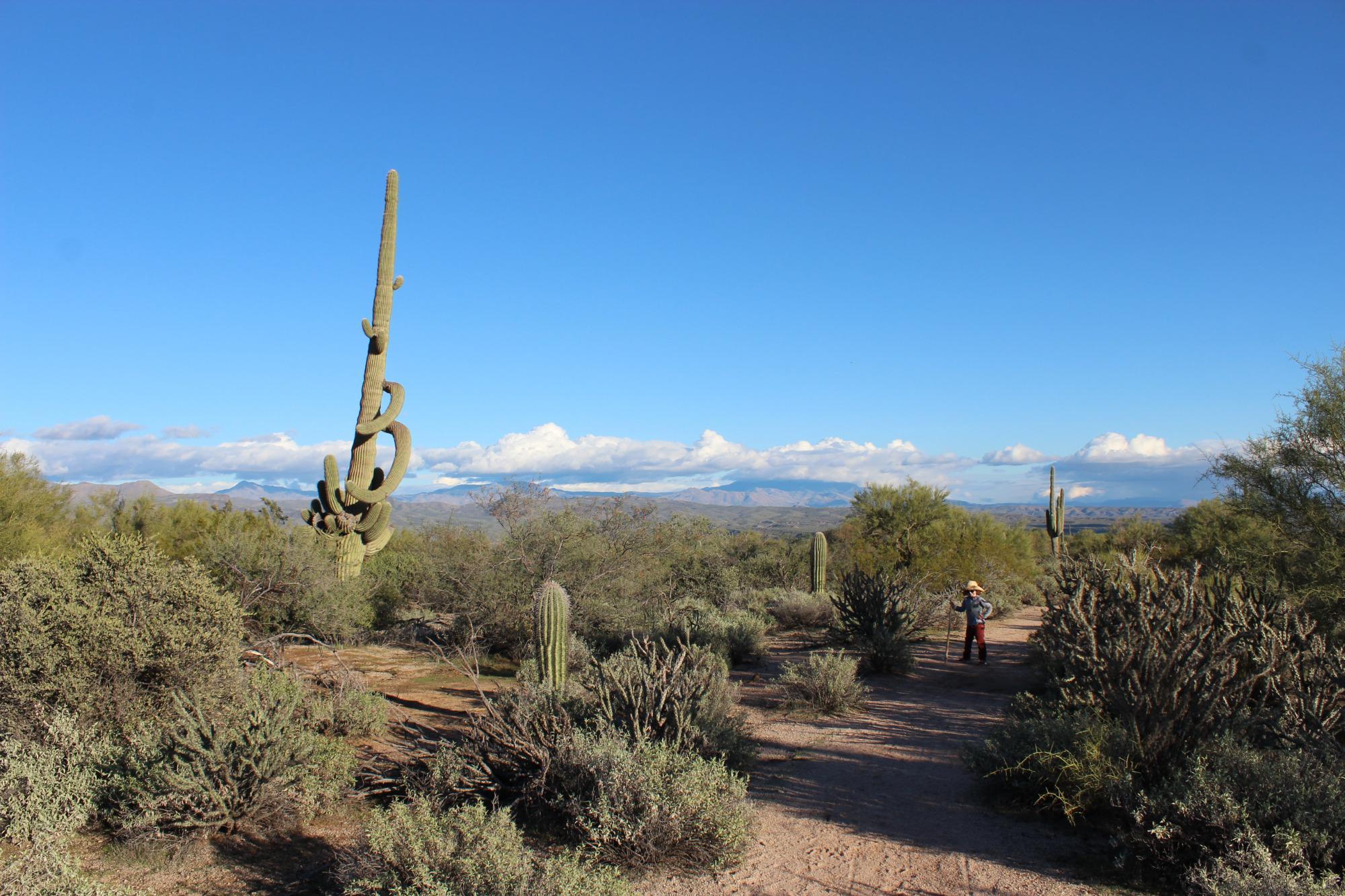
Rio Verde, nestled in the picturesque landscape of Arizona, is primarily known for its vibrant golfing community and serene desert environment. The town is home to the Rio Verde Country Club, a popular destination for golf enthusiasts, offering two 18-hole championship golf courses that blend seamlessly with the surrounding Sonoran Desert. This community is tailored for active adults seeking a peaceful yet engaging lifestyle, with numerous outdoor activities including hiking and horseback riding in the nearby McDowell Mountain Regional Park. The town's proximity to the Verde River also provides opportunities for kayaking and fishing, making it a haven for nature lovers.
Historically, Rio Verde has developed as a retirement and leisure community, attracting those who appreciate the tranquility and scenic beauty of the Arizona desert. The area is characterized by its commitment to preserving the natural environment, evident in the meticulously maintained green spaces and the community's sustainable practices. Visitors and residents alike can enjoy the stunning desert landscapes, breathtaking sunsets, and a close-knit community atmosphere that defines Rio Verde, making it a unique and desirable destination in the heart of Arizona.
Nearby cities include: Fountain Hills, AZ, Carefree, AZ, Cave Creek, AZ, Paradise Valley, AZ, Scottsdale, AZ, Apache Junction, AZ, Mesa, AZ, Tonto Basin, AZ, Tempe, AZ, New River, AZ.
Places in Rio Verde
Dine and drink
Eat and drink your way through town.
Can't-miss activities
Culture, natural beauty, and plain old fun.
Places to stay
Hang your (vacation) hat in a place that’s just your style.
Advertisement


