


Patagonia, AZ
Advertisement
Patagonia, AZ Map
Patagonia is a US city in Santa Cruz County in the state of Arizona. Located at the longitude and latitude of -110.753333, 31.541667 and situated at an elevation of 1,236 meters. In the 2020 United States Census, Patagonia, AZ had a population of 804 people. Patagonia is in the Mountain Standard Time timezone at Coordinated Universal Time (UTC) -7. Find directions to Patagonia, AZ, browse local businesses, landmarks, get current traffic estimates, road conditions, and more.
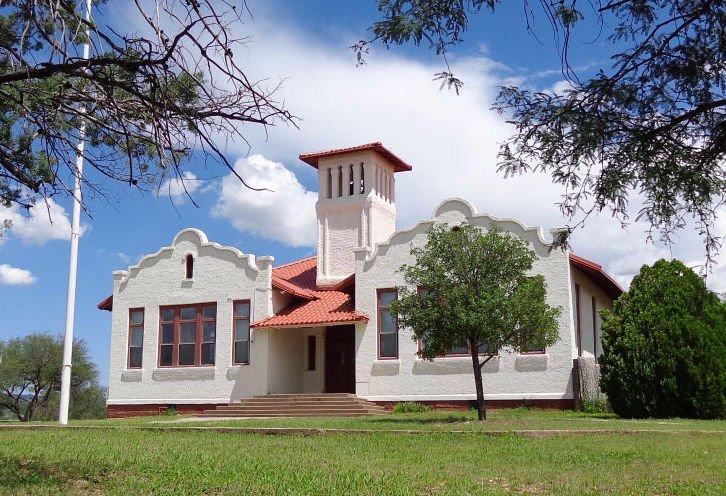
Patagonia, Arizona is a quaint town nestled in the picturesque landscape of the state's southern region, renowned for its vibrant arts scene and rich history. Originally established as a mining hub in the late 19th century, Patagonia has evolved into a haven for artists, nature enthusiasts, and those seeking a peaceful retreat. The town is known for its stunning natural surroundings, including the nearby Patagonia Mountains, which offer ample opportunities for hiking and birdwatching. The Patagonia-Sonoita Creek Preserve is a popular attraction, home to diverse wildlife and lush riparian habitat, making it a must-visit for nature lovers.
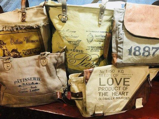
Visitors to Patagonia often explore the local arts and crafts scene, with numerous galleries and artisan shops showcasing the talents of resident artists. The town's historic downtown area, with its charming boutiques and eateries, invites leisurely strolls and provides a glimpse into its mining past. The annual Patagonia Fall Festival is a highlight, drawing crowds to celebrate the town's artistic and cultural heritage. Whether you're exploring its natural beauty or immersing yourself in its creative spirit, Patagonia offers a unique and enriching experience for travelers.
Nearby cities include: Sonoita, AZ, Elgin, AZ, Rio Rico, AZ, Nogales, AZ, Tubac, AZ, Amado, AZ, Huachuca City, AZ, Green Valley, AZ, Whetstone, AZ, Sierra Vista, AZ.
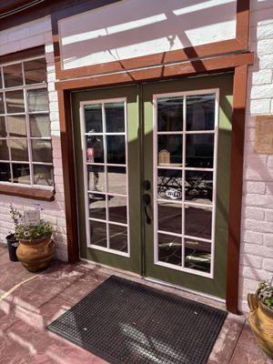
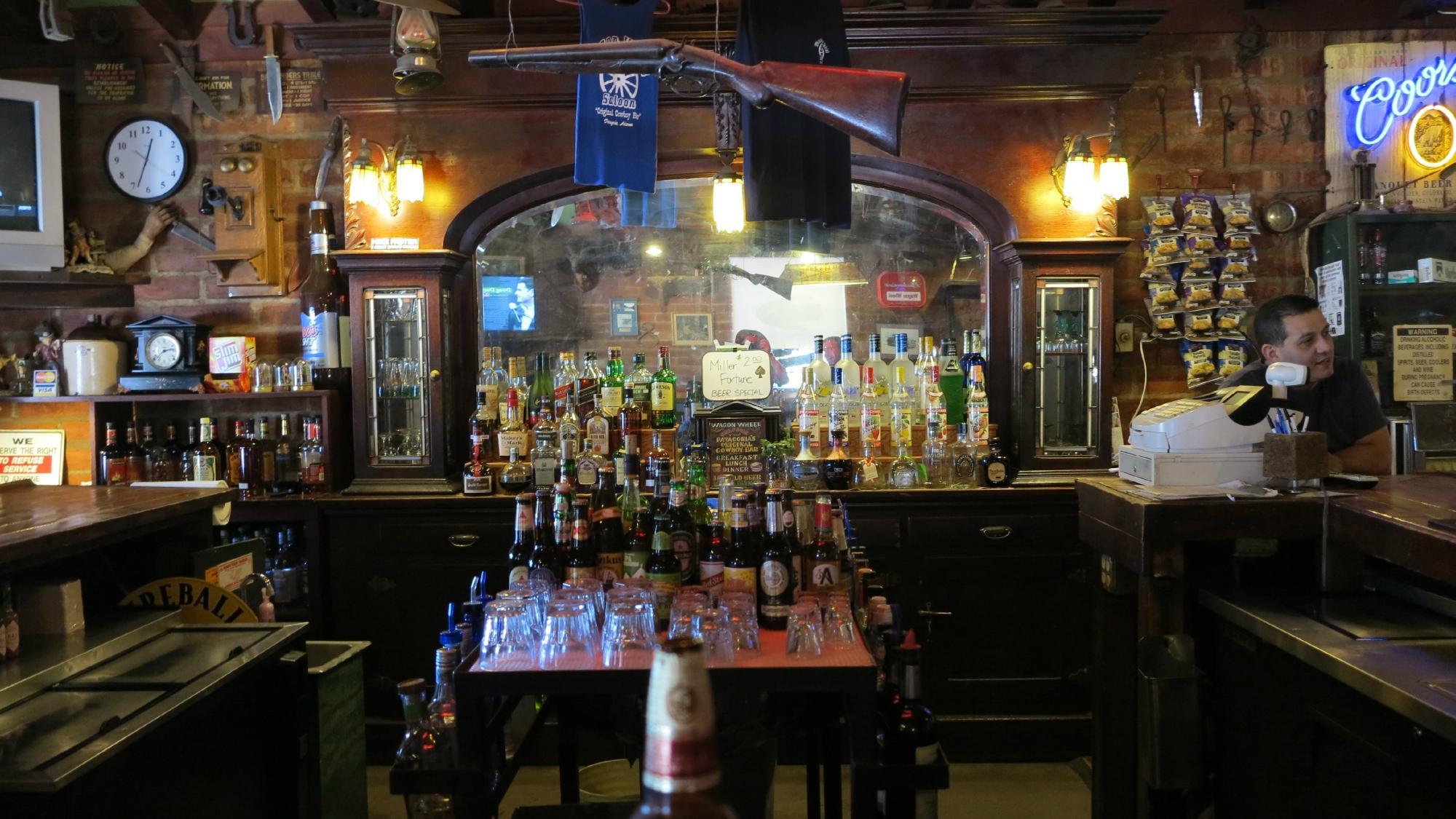
Places in Patagonia
Dine and drink
Eat and drink your way through town.


Can't-miss activities
Culture, natural beauty, and plain old fun.

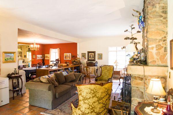
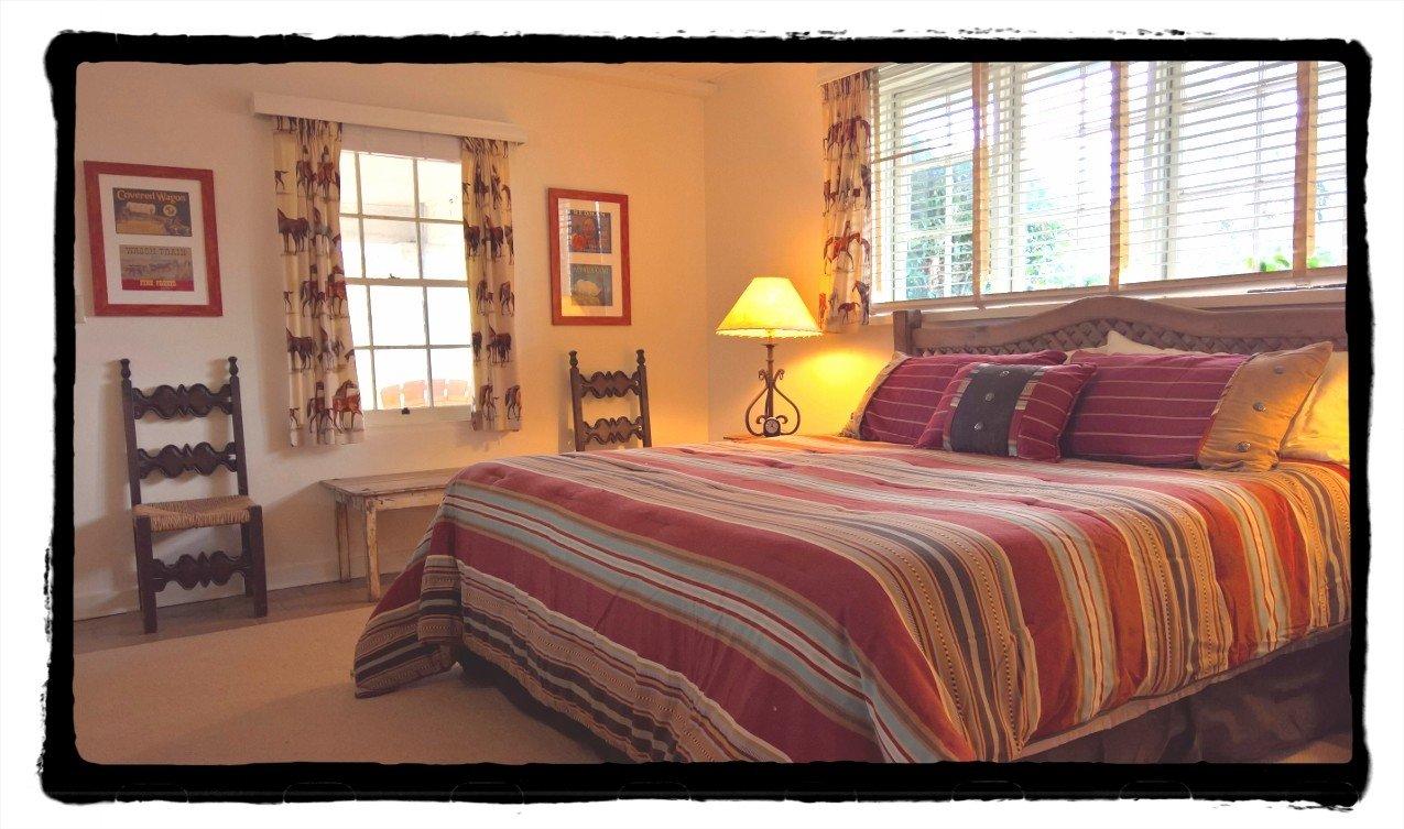
Places to stay
Hang your (vacation) hat in a place that’s just your style.

Advertisement