Mena, AR
Advertisement
Mena, AR Map
Mena is a US city in Polk County in the state of Arkansas. Located at the longitude and latitude of -94.239167, 34.582222 and situated at an elevation of 357 meters. In the 2020 United States Census, Mena, AR had a population of 5,589 people. Mena is in the Central Standard Time timezone at Coordinated Universal Time (UTC) -6. Find directions to Mena, AR, browse local businesses, landmarks, get current traffic estimates, road conditions, and more.
Mena, located in the picturesque Ouachita Mountains of Arkansas, is renowned for its natural beauty and serves as a gateway to outdoor adventures. The city is particularly known for its proximity to the Talimena Scenic Drive, a breathtaking 54-mile route that offers stunning vistas of the surrounding mountains and valleys, especially vibrant during the fall foliage season. Established in 1896, Mena has a rich history rooted in the expansion of the railroad, which played a pivotal role in its development. The city's name itself is derived from Mena Janssen De Goeijen, the wife of a railroad financier.
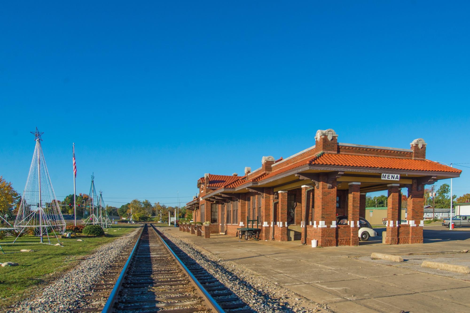
Visitors to Mena can explore the historic Mena Depot Center, which houses the local Chamber of Commerce and offers insights into the region's railroading past. For those interested in arts and culture, the Ouachita Little Theatre provides community theater productions in a charming historic venue. Outdoor enthusiasts will find Mena an ideal base for exploring the vast Ouachita National Forest, with opportunities for hiking, biking, and camping. The nearby Queen Wilhelmina State Park is another popular destination, offering panoramic views and a scenic lodge that attracts travelers seeking a tranquil retreat. Mena's blend of natural allure and historical significance makes it a compelling stop for those traversing the Natural State.
Nearby cities include: Hatfield, AR, Cove, AR, Vandervoort, AR, Boles, AR, Wickes, AR, Waldron, AR, Grannis, AR, Smithville, OK, Oden, AR, Hodgen, OK.
Places in Mena
Dine and drink
Eat and drink your way through town.
Can't-miss activities
Culture, natural beauty, and plain old fun.
Places to stay
Hang your (vacation) hat in a place that’s just your style.
Advertisement


