Dyess, AR
Advertisement
Dyess, AR Map
Dyess is a US city in Mississippi County in the state of Arkansas. Located at the longitude and latitude of -90.214444, 35.590278 and situated at an elevation of 68 meters. In the 2020 United States Census, Dyess, AR had a population of 339 people. Dyess is in the Central Standard Time timezone at Coordinated Universal Time (UTC) -6. Find directions to Dyess, AR, browse local businesses, landmarks, get current traffic estimates, road conditions, and more.
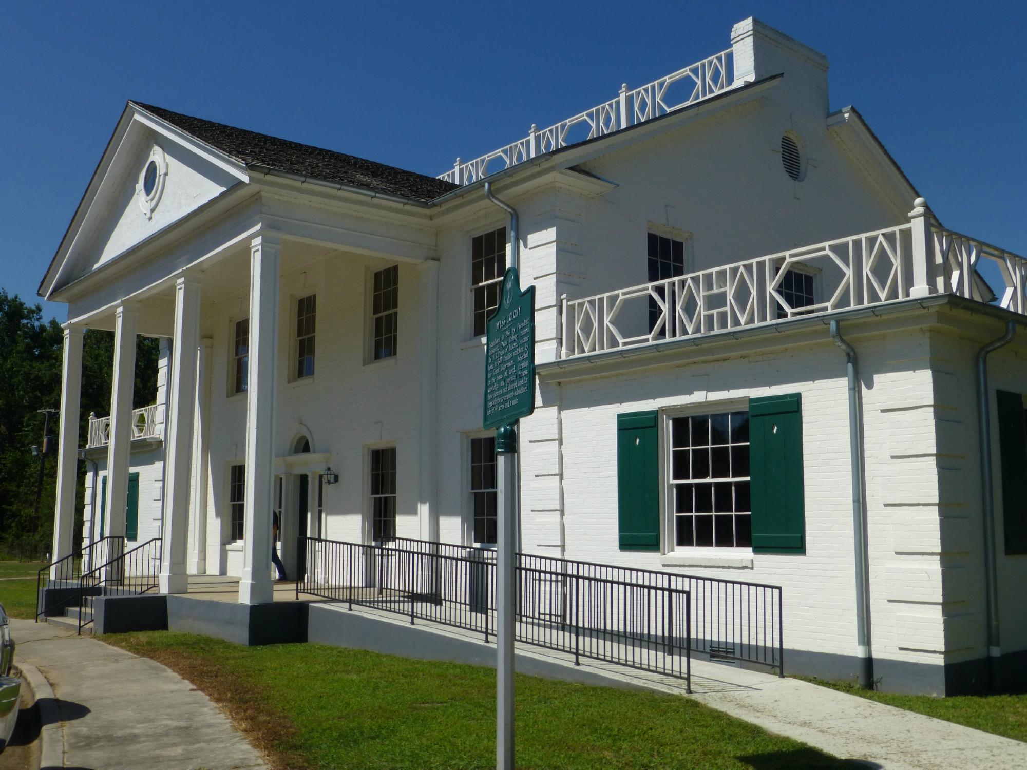
Dyess, Arkansas, is historically significant as a New Deal-era resettlement colony, established in 1934 as part of the Roosevelt administration's efforts to aid struggling farmers during the Great Depression. It is perhaps best known as the boyhood home of country music legend Johnny Cash. The Johnny Cash Boyhood Home is a popular attraction in Dyess, offering visitors a glimpse into the early life of the iconic musician. The home has been carefully restored to reflect the period when the Cash family lived there, complete with period-appropriate furnishings and decor.
Another notable site in Dyess is the Dyess Colony Administration Building, which serves as a museum and visitor center. This building provides insights into the history of the Dyess Colony, offering exhibits and artifacts that tell the story of this unique community experiment. The annual Johnny Cash Heritage Festival also draws visitors from far and wide, celebrating the life and music of Johnny Cash with performances, lectures, and tours. Dyess's appeal lies in its rich historical context and its connection to an American music icon, making it a fascinating destination for those interested in history and music.
Nearby cities include: Bassett, AR, Joiner, AR, Lepanto, AR, Marie, AR, Keiser, AR, Rivervale, AR, Birdsong, AR, Etowah, AR, Wilson, AR, Tyronza, AR.
Places in Dyess
Dine and drink
Eat and drink your way through town.
Can't-miss activities
Culture, natural beauty, and plain old fun.
Places to stay
Hang your (vacation) hat in a place that’s just your style.
Advertisement


