Bouse, AZ
Advertisement
Bouse, AZ Map
Bouse is a US city in La Paz County in the state of Arizona. Located at the longitude and latitude of -114.008333, 33.933611 and situated at an elevation of 289 meters. In the 2020 United States Census, Bouse, AZ had a population of 707 people. Bouse is in the Mountain Standard Time timezone at Coordinated Universal Time (UTC) -7. Find directions to Bouse, AZ, browse local businesses, landmarks, get current traffic estimates, road conditions, and more.
Bouse, located in the arid landscape of Arizona, is a small town with a rich history primarily rooted in its mining past. Established around the early 20th century, Bouse originally thrived as a copper mining community. Today, it is known for its historical significance and as a popular destination for those interested in the remnants of its mining heritage. The town is also notable for its role during World War II, when it served as a site for the Desert Training Center, where General George S. Patton trained troops for desert warfare.
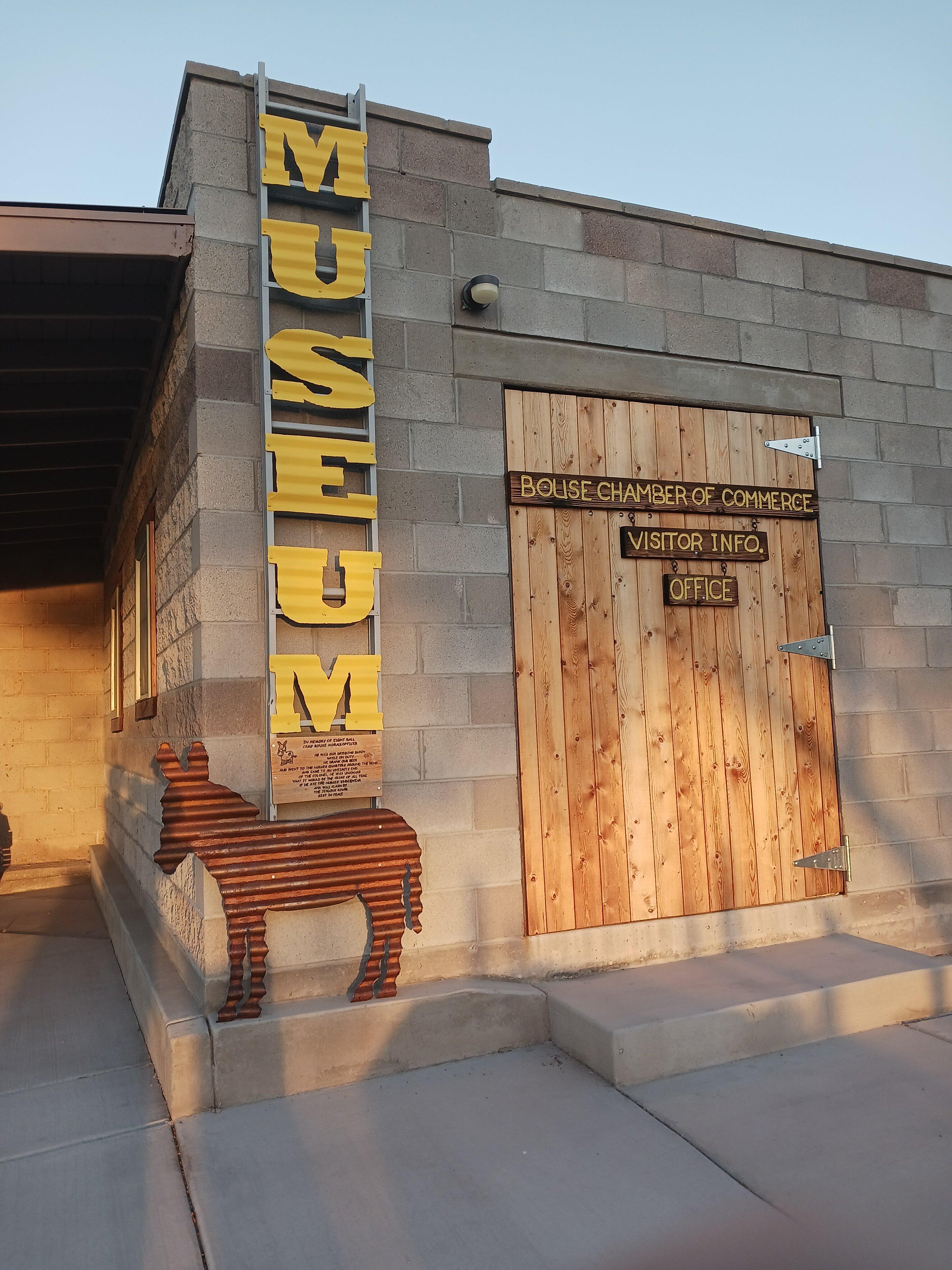
Visitors to Bouse can explore the Bouse Fisherman Intaglio, a mysterious and ancient geoglyph etched into the desert floor, which is an intriguing attraction for both history buffs and those interested in Native American culture. Additionally, the Bouse Historical Museum offers insights into the area's past, featuring exhibits on mining, military history, and local artifacts. The surrounding desert landscape provides ample opportunities for outdoor enthusiasts to enjoy activities such as hiking and off-roading, making Bouse a unique spot for those seeking both historical exploration and adventure.
Nearby cities include: Parker, AZ, Bluewater, CA, Quartzsite, AZ, Parker Strip, AZ, Salome, AZ, Wenden, AZ, La Paz Valley, AZ, Ehrenberg, AZ, Sunwest, AZ, Blythe, CA.
Places in Bouse
Dine and drink
Eat and drink your way through town.
Can't-miss activities
Culture, natural beauty, and plain old fun.
Places to stay
Hang your (vacation) hat in a place that’s just your style.
Advertisement


