Arivaca
Advertisement
Arivaca, AZ Map
Arivaca is a US city in Pima County in the state of Arizona. Located at the longitude and latitude of -111.293000, 31.575000 and situated at an elevation of 3,643 meters. In the 2020 United States Census, Arivaca, AZ had a population of 623 people. Arivaca is in the Mountain Standard Time timezone at Coordinated Universal Time (UTC) -7. Find directions to Arivaca, AZ, browse local businesses, landmarks, get current traffic estimates, road conditions, and more.
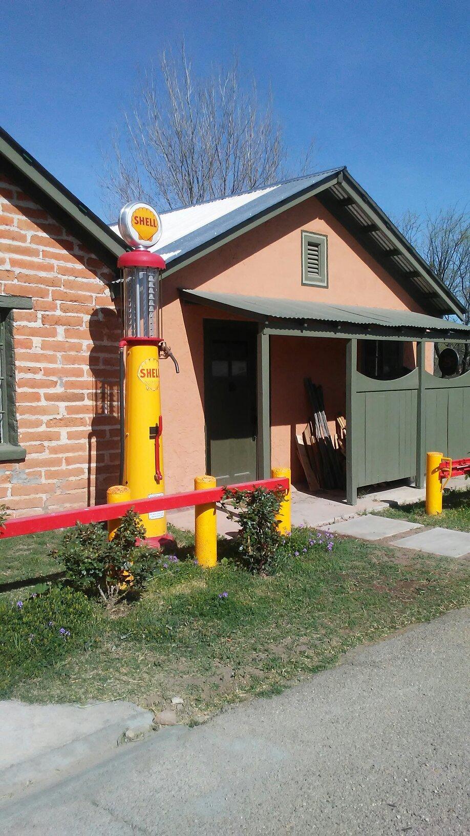
Arivaca, located in the southern part of Arizona, is a small, unincorporated community known for its rich history and scenic landscapes. Originally established as a ranching and mining town in the 19th century, Arivaca has retained much of its Old West charm, making it a unique destination for history enthusiasts. The town is home to the Arivaca Schoolhouse, one of the oldest standing school buildings in Arizona, which offers a glimpse into the area's past. Visitors can also explore the Arivaca Cienega and Creek, part of the Buenos Aires National Wildlife Refuge, where they can enjoy bird watching and hiking in a diverse ecosystem that supports a variety of wildlife.
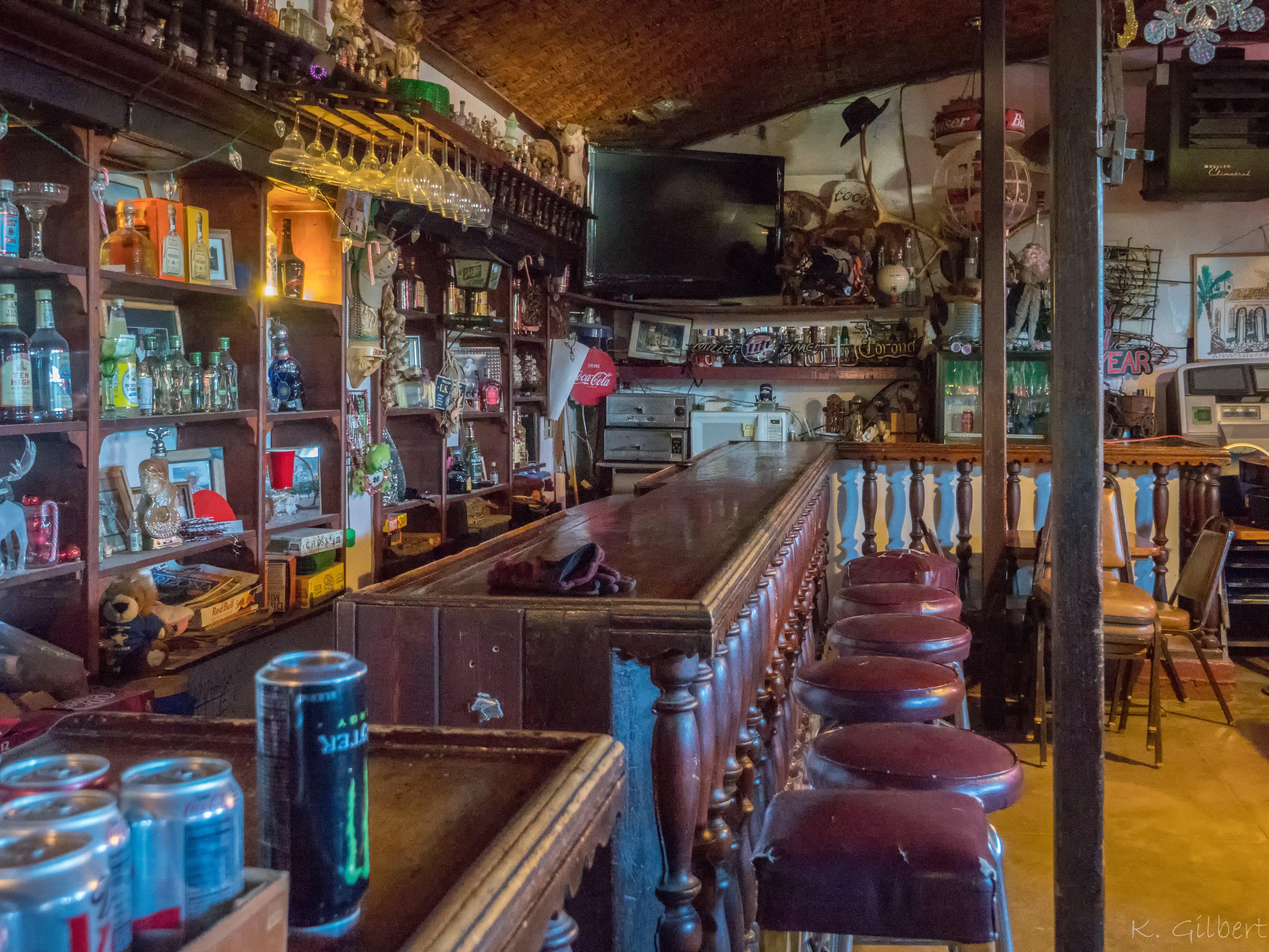
Arivaca is also recognized for its vibrant arts community, with several local galleries and studios showcasing the works of regional artists. The town hosts annual events such as the Arivaca Film Exhibition and the Arivaca Artists' Holiday Show, which draw visitors interested in experiencing the cultural offerings of this quaint desert community. The Arivaca Mercantile and La Gitana Cantina are popular local spots, providing a taste of the community's hospitality and serving as social gathering points for both residents and travelers. Overall, Arivaca offers a blend of historical intrigue, natural beauty, and artistic expression, making it a noteworthy stop for those exploring southern Arizona.
Nearby cities include: Tubac, AZ, Amado, AZ, Rio Rico, AZ, Green Valley, AZ, Nogales, AZ, Sahuarita, AZ, Patagonia, AZ.
Places in Arivaca
Dine and drink
Eat and drink your way through town.
Can't-miss activities
Culture, natural beauty, and plain old fun.
Places to stay
Hang your (vacation) hat in a place that’s just your style.
Advertisement


