Pocahontas, AR
Advertisement
Pocahontas, AR Map
Pocahontas is a US city in Randolph County in the state of Arkansas. Located at the longitude and latitude of -90.973300, 36.263600 and situated at an elevation of 92 meters. In the 2020 United States Census, Pocahontas, AR had a population of 7,371 people. Pocahontas is in the Central Standard Time timezone at Coordinated Universal Time (UTC) -6. Find directions to Pocahontas, AR, browse local businesses, landmarks, get current traffic estimates, road conditions, and more.
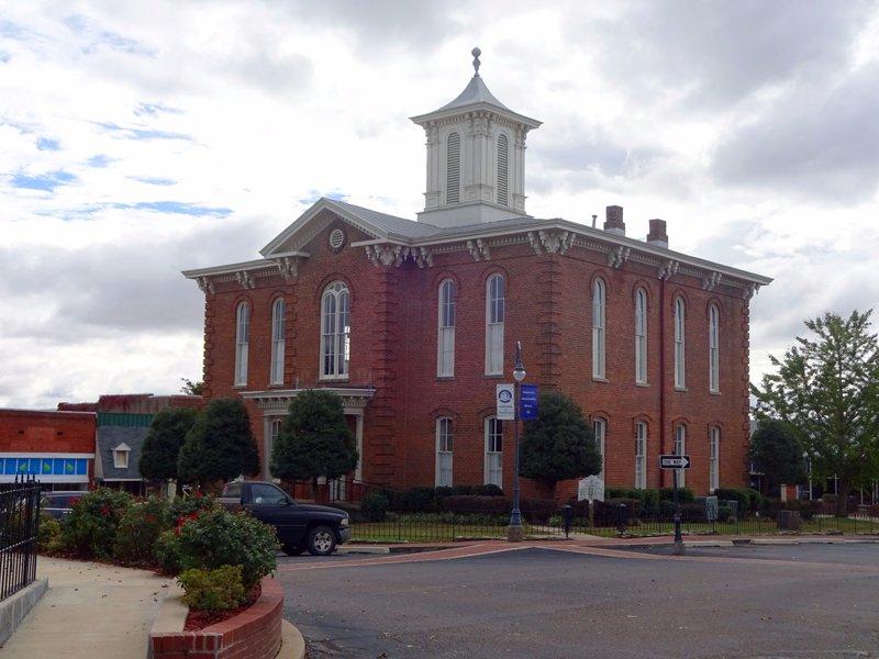
Pocahontas, located in the northeastern part of Arkansas, is a city steeped in rich history and cultural heritage. Known for its charming historic downtown, Pocahontas offers visitors a glimpse into its past with several well-preserved 19th-century buildings. The city is particularly renowned for the Old Randolph County Courthouse, a stunning architectural piece that now houses a museum showcasing local history. Pocahontas is also recognized for its connection to the Trail of Tears, serving as a significant location during this tragic period in American history.
For those seeking recreational activities, the Black River runs through Pocahontas, providing opportunities for fishing, boating, and scenic river walks. The city is also home to the charming Davidsonville Historic State Park, which offers a look into one of the earliest settlements in the region, complete with archeological sites and walking trails. With its blend of historical significance and natural beauty, Pocahontas provides a unique and educational experience for visitors interested in exploring the heritage and landscapes of Arkansas.
Nearby cities include: College City, AR, Biggers, AR, Maynard, AR, Imboden, AR, Black Rock, AR, Walnut Ridge, AR, Portia, AR, Reyno, AR, Delaplaine, AR, Ravenden Springs, AR.
Places in Pocahontas
Dine and drink
Eat and drink your way through town.
Can't-miss activities
Culture, natural beauty, and plain old fun.
Places to stay
Hang your (vacation) hat in a place that’s just your style.
Advertisement


